Achill Island
The island of Achill Iceland (Irish Acaill; Oileán Acla ) is situated in County Mayo and is 146 km ² the largest island of Ireland. Achill Iceland 2,569 people ( as of 2011). About 87 percent of the island is covered by peat bogs. The island is connected via the Michael Davitt Bridge ( near the village of Achill Sound to the east of the island) to the mainland of Curraun Peninsula.
In the past, several attempts have been made to advance the industry on the island, but to this day is the main income branch of tourism that has developed between 1960 and 1970. The Gaelic Football Field of the island as well as a secondary school situated on the mainland near the village Polranny.
History
It is estimated that 4000-3000 BC about 500 to 1,000 people have lived on Achill Iceland. From a later period comes a rudder, which was near the Crannogs found by Dookinella. Before the Neolithic settlers began with agriculture, Achill Iceland may have been mostly covered by forests. During the Iron Age the settlement of the island rose - small fortifications along the coasts date from this period.
Grace O'Malley entertained in the 16th century a castle in Kildownet on the island. In the 17th and 18th centuries there was a large migration from Ireland (especially Ulster ) to Achill Iceland due to political and religious problems.
Through this immigration two dialects were spoken on Achill Iceland in the 19th century, which led to that in the census of 1824 places with two different names were listed. Even today you can find on maps yet different names of each place.
Attractions
Keel East is a megalithic site, which was built during the 4th and 3rd millennium BC in the Neolithic on Achill Iceland.
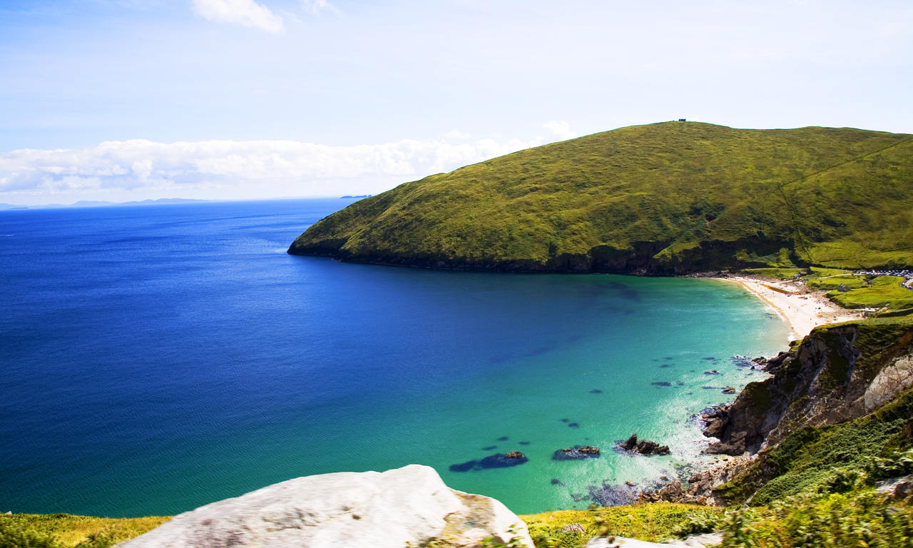
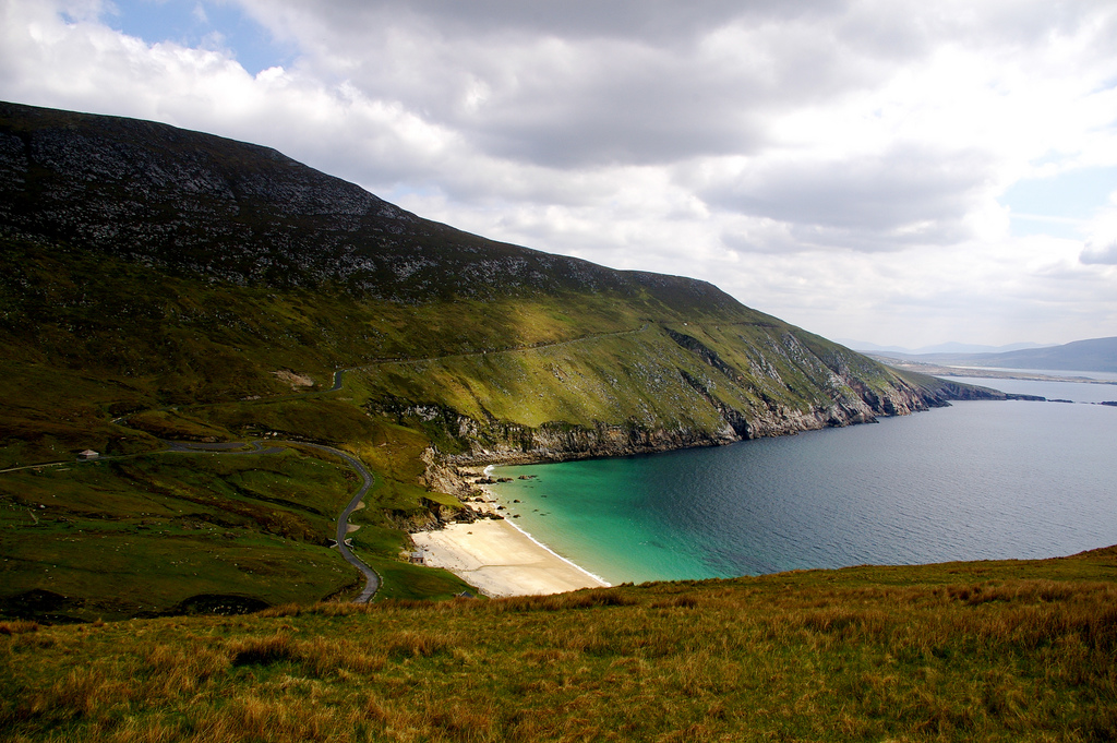
Keem Bay
Despite the development in the last 40 years, the island has retained its raw beauty. Keem Bay in the far west near Achill Head is considered one of the most beautiful beaches in Ireland. Along a winding descent to reach him. It lies between 198 m and 450 m high hill, and is also used for surfing. The headland south of Keem Bay ends in Moytoge Head, on the today a British guard station from the First World War is, with the one wanted to prevent arms shipments to the IRA.
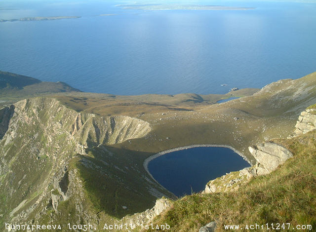
Who wants to take a look at the highest untapped by tourism cliffs in Europe ( Cliffs of Croaghaun ), must accept the rather steep ascent (without specific paths ) on the grassy Achill Head up.
Atlantic Drive
The Atlantic Drive on the south and west of the island offers many impressive, sometimes very susceptible to wind vantage points on the island, to bays and the surf of the Atlantic, such as in Camport Bay, a south-east of Dumha own / Dooega bay.
Deserted Village
The Ruined Village Deserted Village is located on the north by the foothills of the 671 m high Slievemore. It was abandoned in the 19th century as a result of the Great Famine in Ireland ( 1845-1849 ). The surviving walls of the comprehensive about 100 stone houses village give a little insight into the former living conditions of the Irish peasantry. Recent studies suggest, however, that the village was only used in the summer as part of the transhumance - in the autumn returned the inhabitants with their cattle back to the areas close to the ocean ( as Dooagh or Pollagh ). West of the village there is an old British Genoese tower, which was used as a watchtower against a French invasion. In the area is the 5000 years old Neolithic tomb Doogort West Court and the Sacred Source of Keel East. The Crannog of Loughannascaddy is only four kilometers away.
Achillbeg
Achillbeg ( Irish: Acaill Beag, German: Small Achill ) is a small island south of Achill Iceland. 1965 all residents of Achillbeg to Achill Iceland and the surrounding area were resettled on the mainland. The largest settlement was located in the center of the island, surrounded by two mountains in the north and south of the island. On Achillbeg there are some apartments that are rarely inhabited. Achillbeg can be reached only by sea and by prior agreement of Cloghmore.
There is a lighthouse, which was built in 1965 on the southern tip of Achillbeg.
Achill - henge
As Achill - henge is called a massive round concrete building from 30 about four feet high columns with more than 100 m circumference, reminiscent of Stonehenge. It was built in November 2011 by local contractors and activist Joe McNamara as a tomb for the Celtic Tiger. As no planning permission existed for the structure, he has now been sentenced to remove the building again, which had not yet happened in September 2012.
Economy
Although there have been a number of attempts to locate smaller industrial enterprises, the economy is still largely based on tourism, which had developed strongly in the 1960s and 1970s. During the 19th and 20th century residents of Achill Iceland received a payout if they and their families continued to live despite working abroad on Achill Iceland to strengthen this remote region. Due to the economic boom in Ireland, more opportunities to find work on the island or in the immediate vicinity revealed. Agriculture and livestock (mainly sheep) plays because of the spread of peat bogs on the island only a minor role and is only worthwhile because of EU subsidies.
Also fishing, once a significant part of the economy continues to lose its importance, the island in the past was very famous among Haifischern. Above all, the basking shark was hunted here because of its Trans.
On the island there are the following major settlements: Achill Sound, Keel, Dooagh, Dooega, Doogort, Cashel, Dooniver and Bunacurry
Famous visitors
The painter Paul Henry (1877-1958) lived from 1910 to 1919 on the island. Some of his most important works, especially landscape paintings, created here.
Heinrich Boll also attended in the 1950s and 1960s, the island in his vacations. The Irish Journal has arisen at this time. Böll bought a house in 1958 on the island, which is now provided by the local Achill Heinrich Böll Association available to artists to work there. A tour of this house is expressly forbidden in order not to disturb the respective grantees. - The Ruined Village Deserted Village has described Böll in Chapter 5 ( " skeleton of a human settlement ") of Irish diary.


