Americano Creek
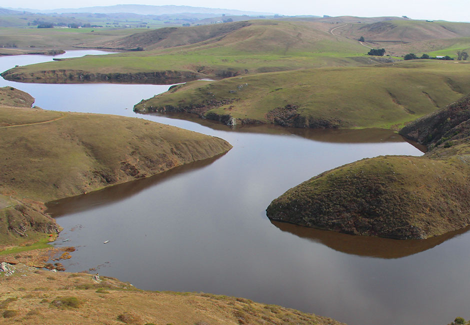
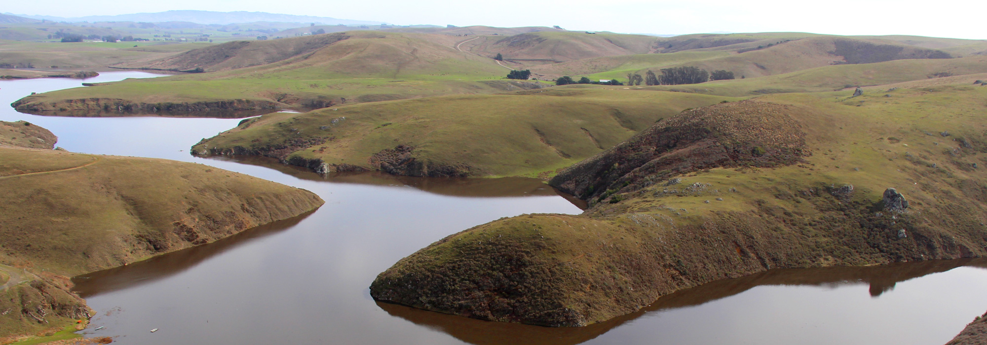
The Americano Creek in the upper river
The Americano Creek is a 12 -kilometer-long flowing river in the U.S. state of California.
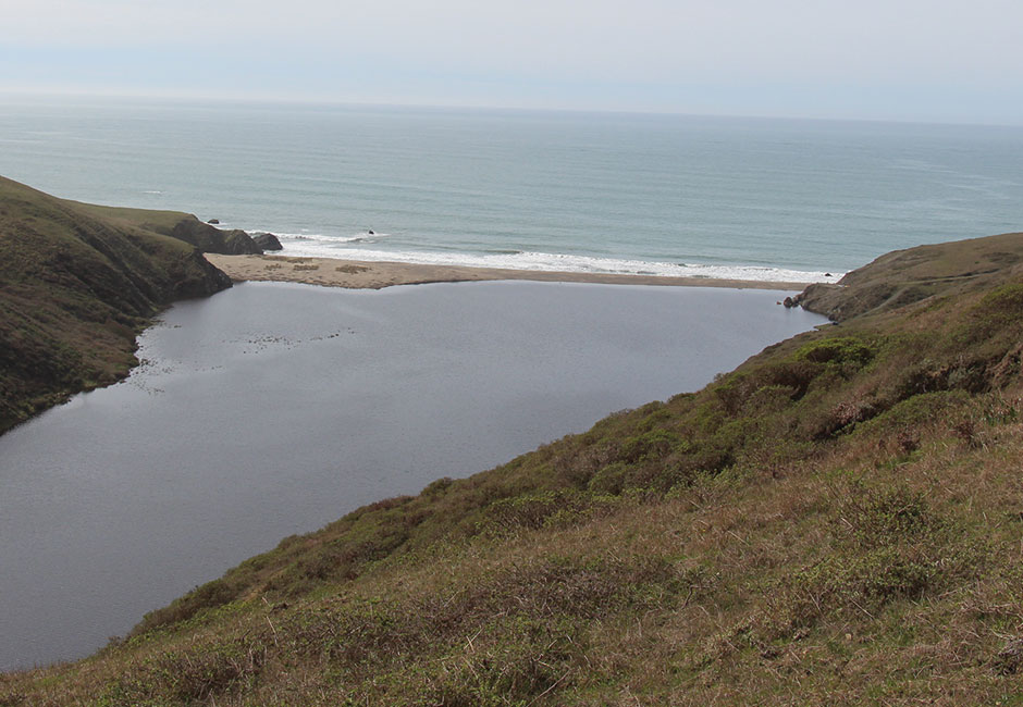
It flows into the Estero Americano, a 15 -kilometer-long estuary of the Pacific Ocean, which drains directly north of Point Reyes in the Bodega Bay.
On this route, it flows through the counties Sonoma County and Marin County.
River
The source of Americano Creek is relatively low in the Mendocino Range six kilometers west of Cotati and near Santa Rosa. The river runs from there to the west. On his way to the river runs past an abandoned landfill. From this point the river bed is deepened and the Americano Creek is deep enough for him to ride in winter with kayaks. The kayakers can reach the river on a dirt road, which starts from the Marsh Road.
The lower section of the river continues to flow westward, past the town of Bloomfield. The National Road State Route 1 crosses the Americano Creek with a bridge on the border between Sonoma and Marin Counties.
To the west of the highway is called the river Estero Americano.
Environment
The California report on water quality from 1994 described the river the entire Americano Creek as " impaired " as described in Section 303 ( d ) of the Federal Water Resource statute is defined in debt due to the outflow of pasture and feedlot facilities.
In 1987 a single sinkhole 4,000 tons of sediment -free, this led to flooding in the downstream settled communities and made the river unnavigable. At the same time dangerous pollutants found in high concentrations in the river, an excess of fecal bacteria, copper, ammonia compounds and zinc.
The headwaters of the river was once habitat for a wide variety of rare and endangered species. It turns amoenum the natural habitat of the plant Limnanthes vinculans, Trifolium and Lilium pardalinum subsp. pitkinense dar.
There are in this area of the river a disused landfill site, a quarry was planned, which should start operating in 2006.
The Americano Creek each year is four to six months dry.
The first 13 km of the river meanders through a wide valley, which is primarily agricultural economy benefited as pasture. In the lower part of the valley floor is flat and extended. In the alluvial stones hardly exist. The cattle graze directly on the river bed and pathogens in the feces directly into the river bed.
While the lasting from November to April rainy season this river valleys transform partially in large wetlands. The majority of naturally occurring wetland country was destroyed by overgrazing. The pastoral industry is so intense operated so that cattle were already seen, which waded through a swampy river bed from a depth of about 40 cm and a width of about 100 meters.
The area around the lower reaches of the Americano Creek is also used for agriculture. In this region the flow is better separated from the pasture.
The Estero Americano, however, is protected.
The flow is strong seasonal fluctuations, and with the highest value in the rainy winter months.
Water regularly verifications show that the pH values of the Americano Creek are between 7.5 and 8.0. This fulfills the requirements of the State of California Basin Plan.
Bridges
The Americano Creek is bridged by three streets, of the Gericke Road, the Roblar Road and Valley Ford Road.
The latest of these bridges is the built in 1985, 22.3 meters long Valley Ford Road bridge in slab construction, which lies 5.8 km east of the junction of State Route 1.
The oldest bridge, built in 1964, is the bridge over the Roblar Road, a passage 1.1 km to the east away from the Valley Ford Road / Street.
The Gericke Road Bridge, from 1972 is a long, continuous concrete structure, south of Valley Ford Road.


