Attawapiskat River
BW
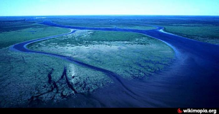
Position of the lower reaches of the Attawapiskat River
The Attawapiskat River is a river in Kenora District in northern Ontario, Canada. It flows from Lake Attawapiskat Lake east to James Bay.
Course
The Attawapiskat River lays 748 km back ( from the top of Bow Lake ) and has a catchment area of 50,500 km ².
The origin of the river lies in Attawapiskat Lake at an altitude of 241 m. The main tributaries of the lake are the Marten Drinking River, which Otoskwin River and the Pineimuta River.
There are two outflows from the Attawapiskat Lake to the Attawapiskat River: a southern and a northern channel. The southern channel is called the Atlas of Canada as the Attawapiskat River. The northern channel is called the Atlas of Canada as the North Channel. This is easier to navigate for canoeists. The North Channel outflow from the Attawapiskat Lake is ⊙ 52.193055555556-87.476388888889 and consists of two short streams that flow to the Windsor Lake. The level of the river drops dramatically along these two outflow channels. They leave the Canadian Shield to flatter, marshy Hudson Bay lowlands higher ground. After a series of rapids, the North Channel combined with the Attawapiskat River (the southern channel) with ⊙ 52.101111111111-87.101944444444 at an altitude of 210 m.
The river continues its course in an easterly direction. He makes at Pym Iceland an arc to the north at 52.205555555556-86.324444444444 ⊙ at an altitude of 174 m. The Streatfeild River joins from the right at an altitude of 148 m. The outflow of Lake McFaulds flows coming from the left about 17 km to the effluent at 52.802777777778-85.9125 ⊙ at an altitude of 139 m. Next effluent changes its direction of flow to the east. The Muketei River flows to the Attawapiskat River from left to at 53.143333333333-85.293888888889 ⊙ at an altitude of 105 m, the Missisa River flows from right 28 km further effluent at 53.026666666667-84.900555555556 ⊙ at an altitude of 98 m.
In 52.942222222222-83.169444444444 ⊙ at an altitude of 30 m of Lawashi channel has its beginning and joins the Lawashi River at a point 8.5 km above the confluence with the James Bay. The mouth of the Lawashi River is located about 11 km southeast of the mouth of the Attawapiskat. After Lawashi Channel branch of the main river flows in an easterly direction to the settlement Attawapiskat 10 km above the mouth over and pours into the James Bay at the height of Akimiski - street opposite the Akimiski Iceland.
Geology
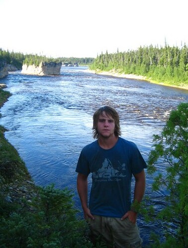
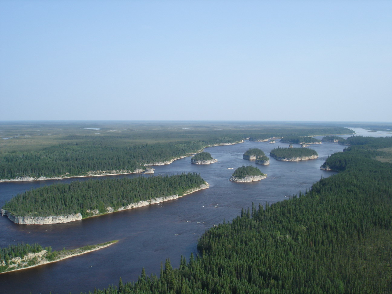
Less than 100 km from its mouth has been cut several spectacular high limestone islands from the surrounding rock of Attawapiskat, which are called by canoeists "Birthday Cakes ". chat -a -wa- pis - shkag called the resident Indians these unique formations for the region. From the present name of the river was derived. The Attawapiskat - Kimberlitfeld is on the river.
Economy
The Otoskwin / Attawapiskat River Provincial Park covers parts of the river between Attawapiskat Lake and a point above the confluence with the River Muketei.
Since 26 June 2008, the De Beers Victor Diamond Mine in Attawapiskat - Kimberlitfeld about 90 km west of the settlement of Attawapiskat in operation. It is expected that the mine achieved an annual production of 600,000 carats of diamonds (120 kg).
Inflows
- Missisa River ( right)
- Muketei River ( left)
- Streatfeild River ( right)
- North Channel (left)
- Attawapiskat Lake ( origin) Otoskwin River
- Marten River Drinking
- Pineimuta River


