Aue (Weser)
Aue Kurpark Bad Eilsen
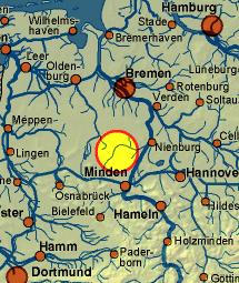
The floodplain, which is also called Bückeburger Aue, is a roughly 39 -km-long, right-sided or eastern tributary of the Weser river in the district of Schaumburg, in Lower Saxony and in the Minden - Luebbecke in North Rhine -Westphalia.
- 2.1 mills
- 2.2 Iron Hammers
Course
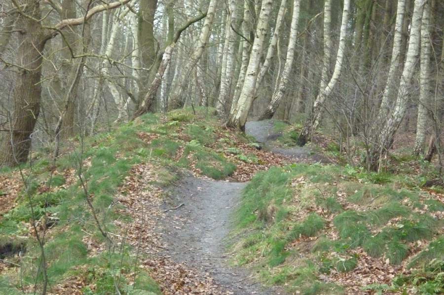
North of the Süntel and south of the village Hattendorf ( Auetal ) in the municipality Auetal at a height of approx. 270 m above sea level. NN is the source of the floodplain. From here it flows first in a westerly direction through a forest and meadow valley to the so-called Upper Castle then north through Rehren, where it crosses under the Federal Highway 2. You follow the course of the highway on their north side and always flows in a westerly direction through the villages Poggenhagen, Borstel, past Buchholz, always north of the Weser Mountains and in parallel. It flows north past the highway driveway Bad Eilsen and through the village Heeßen where it changes its western flow direction and then flows to the north.
You now flows north of the federal highway 83 through Bad Eilsen and its park, through the valley cut so between Harrl and Bückeberg through the village Ahnsen. In Vehlen it crosses under the highway 65, flows through the districts Bückeburger Achum, Warber and Meinsen. By Warber relief ditch it feeds the Mittelland Canal.
Behind Meinsen it flows back toward the west. Here, in the south of Schaumburg forest in lowland Bückeburger, branches off the " Aue- channel " which the floodplain in Minden- Päpinghausen resumes.
The floodplain flows around the Schaumburg forest in the south, leaving at Evesen on Gevattersee short the district of Schaumburg and the state of Lower Saxony. East of Minden- Dankersen she continues to flow along the border, now parallel to the Weser, between the national road 482 and the Schaumburg Forest, to the north. Even at Dankersen it crosses under the Mittelland canal continues through to Biickeburg - Cammer, Päpinghausen, Frille and finally joins up with Lahde in North Rhine -Westphalia in the Weser at a height of 34 m above sea level. NN.
Tributaries
The floodplain absorbs the water of numerous small streams and rivulets nameless of the northern slopes of the Weser Mountains, the southern Bückeberg the Harrl. Especially noteworthy are the some major tributaries:
- Stone Beeke
- Oelberger Bach
- Krainhäger Beeke
- Lieth Bach
- ( Bückeburger ) Castle Brook
- Rennriehe
- Sandfurth Bach
History
In previous centuries, many iron hammers and water mills were powered by the floodplain.
Mills
Today, no longer existing mills are located west of Rehren the " cutting - and oil-seed " to Poggenhagen ( operated until 1962 ) and the Borsteler mill. Today existing Mühlenbauten are located the "Black Mill" at Rolfshagen which operated until the 1970s, so-called " Arensburger paper mill ", 300 m below the district " Driving Course ", and again only a few 100 meters further along " Schlingmühle " (up to 1960 operated ) between beech wood and stone mountains. With degraded mode is still working the mill in Ahnsen while, the operation of Vehlener mill was set in the next village, namely Vehlen.
Iron hammers
The iron hammers on the upper reaches of the floodplain it was the Bernser Iron Hammer ( who served as Ausflugsgaststätte long to this day ) and the " Rolf Haeger Iron Hammer", which until after the second world war, for example, Spades, scythes and axes produced. The most picturesque by far Iron Hammer was the so-called " Buchholz Blank Hammer " ( next with its characteristic large crooked pines and the " Arensburger " motorway viaduct in the background) close to the village Buchholz, who was often represented by the Schaumburg oil painters. From this iron hammer today only small traces in the terrain are present. The former home of the respective Hammer tenant, however, is preserved and is approximately 100 meters on the eastern outskirts of beech wood.

.jpg)
