Banat Mountains
P5
Location of Banat Mountains
Vršac Mountains
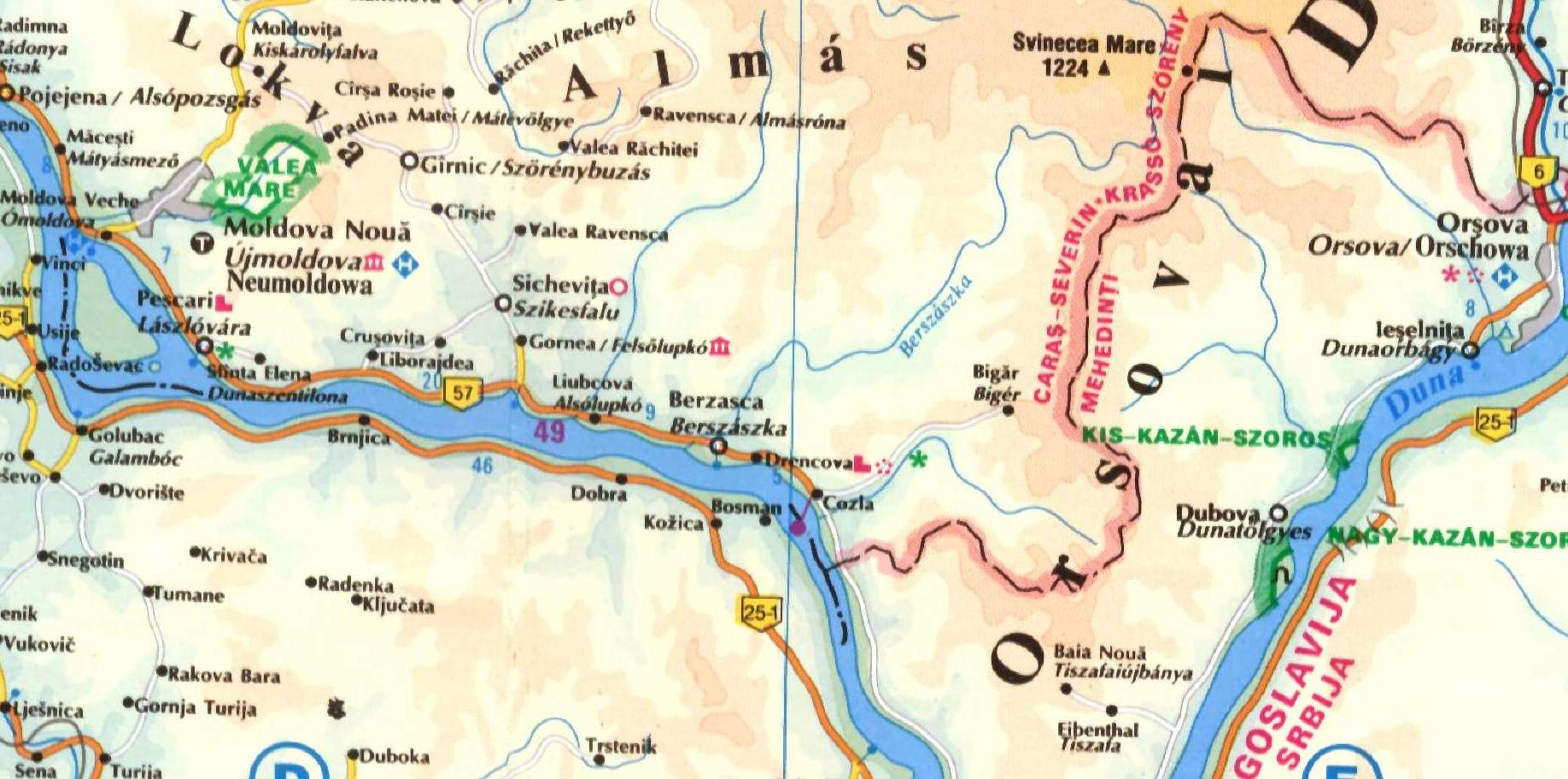
The Banat Mountains (Romanian Munţii Banatului ) is a low mountain range in the south of Banat on the border between Romania and Serbia. It represents the southern part of the Western Romanian Carpathians (Romanian: Carpatii Occidentali ) is and at the same time forms a southern branch of the long, curved Carpathian chain. The Banat Mountains is divided into
- The Semenic Mountains ( Munţii Semenic )
- The Locva Mountains ( Munţii Locvei )
- The Anina Mountains ( Munţii Aninei )
- The Dognecea Mountains ( Munţii Dognecei )
- The Almaj Mountains ( Munţii Almăjului )
- The Vršac Mountains ( Vršacke planina )
The Vršac Mountains is on Serbian, all the rest of mountains on Romanian territory.
The highest elevation is the Varful Piatra Goznei ( 1449 m) in the Semenic Mountains.
The southern part of the Banat Mountains, bounded by the Danube. This is here for the most current Central Europe a long gorge cut. At the end of this route, which already extends to the higher Southern Carpathians, is the Iron Gate of the most spectacular and until 1972 most dangerous section of the river course. It was made at the beginning of the 1970s more easily navigable by the application of a reservoir, blasting and other construction works.
The Danube describes a result of the individual massifs of the Banat Mountains and located on the south bank of the river Serbian Carpathians several sharp changes in direction, which they repeatedly detract from the general easterly direction to 45-90 °.


