Belle Isle (Newfoundland and Labrador)
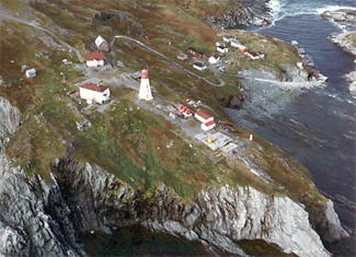
Belle Isle ( the old French name for "Beautiful Island" ) is an uninhabited island off the coast of Labrador and the northern tip of Newfoundland. It lies at the eastern end of the same named Belle -Isle Strait, which connects the St. Lawrence Gulf to the Atlantic Ocean. It is located on the shortest shipping route between the Great Lakes and Europe.
The highest elevation of Belle Isle reaches a height of about 213 m. The island has an area of 52 km ², a length of 16 km and a width of 5 km. Your distance from the mainland and the island of Newfoundland is almost 24 km.
Each is a lighthouse on the northern and southern. Although the island officially " uninhabited " is considered, it is inhabited during the fishing season.
Geologically, Belle Isle seen as the northernmost peaks of the Appalachian Mountains.
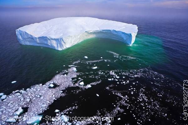
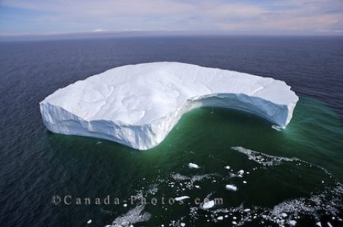
The surrounding waters meets depends on the weather conditions of the Labrador Current to the coming of the west flow of the Belle -Isle Strait.
The island owes its name to the French explorer Jacques Cartier.


