BeyÅŸehir
Template: Infobox city in Turkey / Maintenance / County
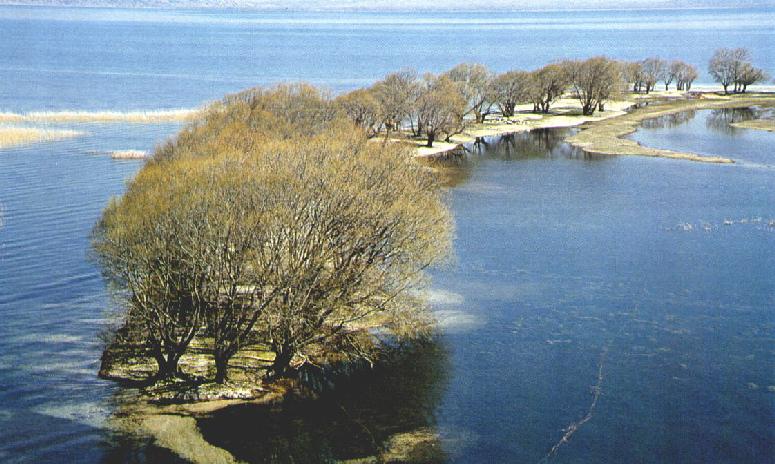
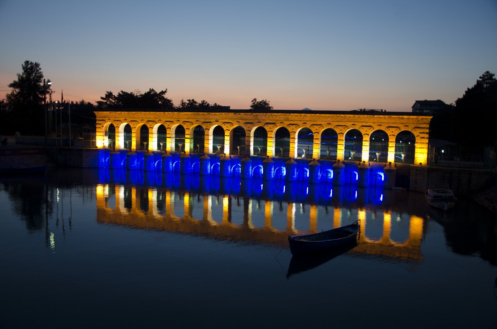
Beyşehir is a district of the Turkish province of Konya as well as its capital. It is located in the southeast of Beyşehir Lake. The area is 2652 km ². The height above sea level is 1124 m. The county has a total of 72 712 inhabitants, of which 32 799 live in the center of the district. The population density is 27 inhabitants / km ².
Attractions
Ten kilometers northwest of Beyşehir is the Tell ( Turkish Höyük ) Erbaba. The age of the mound is estimated to be 7500 years, he thus dates from the Neolithic period, also known as the Neolithic period. This tell was discovered by archaeologist R. Soleck and was excavated in the 1970s under the direction of Jacques and Luiesse Alpes Bordaz. The Tell has a diameter of about 80 m. In Erbaba four floors have been uncovered. On the lower level you were hardly find any. For this, but was made on the third floor a lot of finds. During construction of the first, second and third floor of stone blocks were used. The plastered walls in red limestone are about 60 cm thick and were associated with mud mortar.
Situated 20 km north lies the Hittite source sanctuary Eflatun Pınar, 20 km east perhaps associated Monument of Fasıllar.


.jpg)

