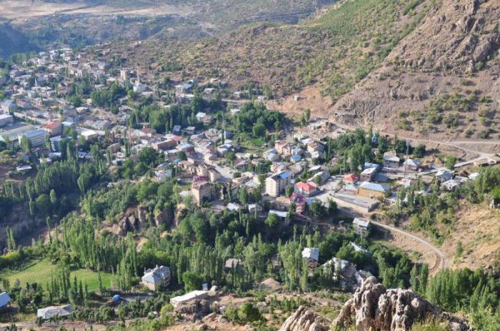
Beytüşşebap
Template: Infobox city in Turkey / Maintenance / County
Beytüşşebap (Kurdish: ELKE ) is a Turkish district town in the province of Şırnak Province in Southeastern Anatolia. The town has 5,619 inhabitants and the county 17,836 (as of 2011 ). Beytüşşebap lies to the east of the province and borders the provinces of Van, Siirt and Hakkari. The name is of Arabic origin and means mutatis mutandis The House of Youth.
Geography
Beytüşşebap has a mountainous terrain and accordingly many high mountains. The highest mountains are covered with 3300 m the Altın Daglar in the east. Other mountains are the Tanin Tanin Daglar the west, Kato Dağ and Komtik Dağ. The winters are long and hard, so that many of the roads are not passable during the winter.
The most important historical buildings in Beytüşşebap are the fortresses Kela Memi, Kela Tuvori and Kelereş.
History
The area around the city is considered old settlement area; already the kingdom of Mitanni, the Urartian, Hurrian Assyrians and ruled over it. In 1054 the area in 1514 fell to the Seljuks to the Ottomans.
The new management structure announced in the year 1855 to Beytüşşebap the province Erzurum, ten years later, the annexation followed to Van. The membership of the county town changed in the 20th century repeatedly until it was finally annexed to the province of Sirnak in 1990.


