Bridger Wilderness
The Bridger Wilderness [ bɹɪdʒɚ wɪldənɪs ] is a sanctuary of the type of a Wilderness Area in the U.S. state of Wyoming. It is located in the Rocky Mountains on the west flank of the Wind River Range. The area is named after Jim Bridger, a trapper and explorer who explored in the 1820s as the first white parts of the Rocky Mountains. The wilderness area is part of the Bridger - Teton National Forest, one managed by the United States Forest Service National Forest.
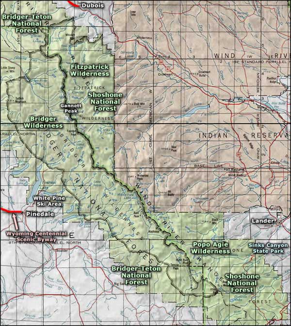
The elongated from northwest to southeast wilderness area has ( established in 1964 with over 1500 km ² in 1984 to nearly 150 km ² expanded ) an area of over 1700 square kilometers. On the east it is bounded by the Continental Divide. To the northeast lies beyond the ridge the Fitzpatrick Wilderness, Popo Agie in the southeast the Wilderness. Between these the Bridger Wilderness borders the Wind River Reservation, an Indian reservation of the Eastern Shoshone and Arapaho.
Description
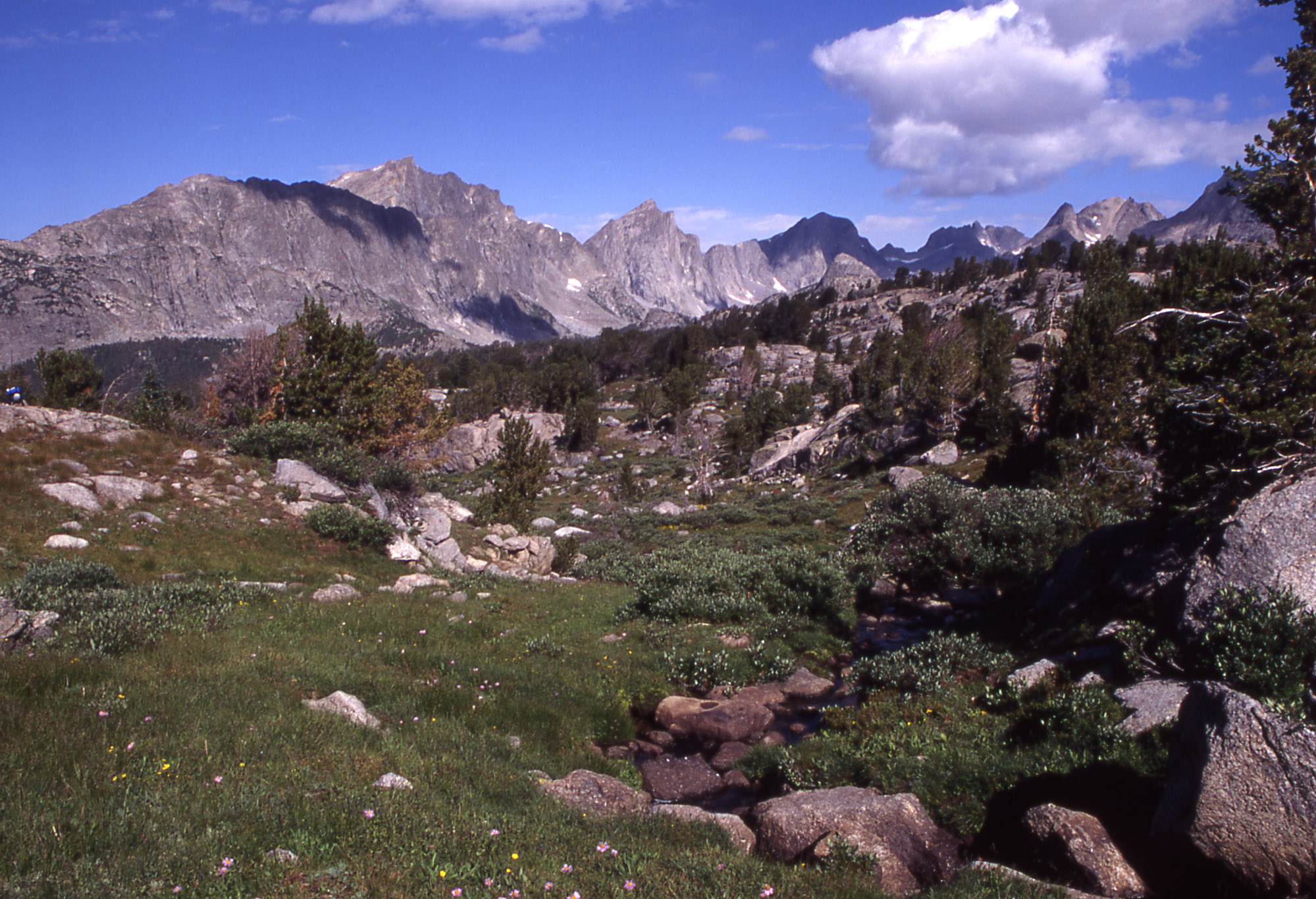
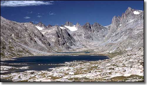
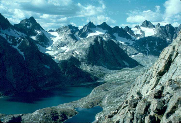
The Bridger Wilderness comprises one of the most spectacular mountain scenery in the United States. In the area there are seven of the ten largest glaciers in the U.S. outside of Alaska, more than 2,300 mountain lakes and on the border of the wilderness of Gannett Peak, with 4207 m the highest mountain in Wyoming. Other peaks above 4,000 m are the Downs Mountain ( 4096 m) and the Wind River Peak ( 4021 m). In the area of the Green River, which drains with its tributaries the entire wilderness springs.
In the wild, black bears, grizzly bears, wolves, moose and other large mammals live. Bald eagles and golden eagles are the largest birds.
As in all Wilderness Areas, there is no traffic or tourist infrastructure. The area is of no road touched or crossed, but around 1000 kilometers of trails are maintained rudimentary. The use of all types of vehicles, mountain bikes are prohibited, permitted uses are trekking and trail riding in small groups and in the context of the legal provisions fishing and hunting.


