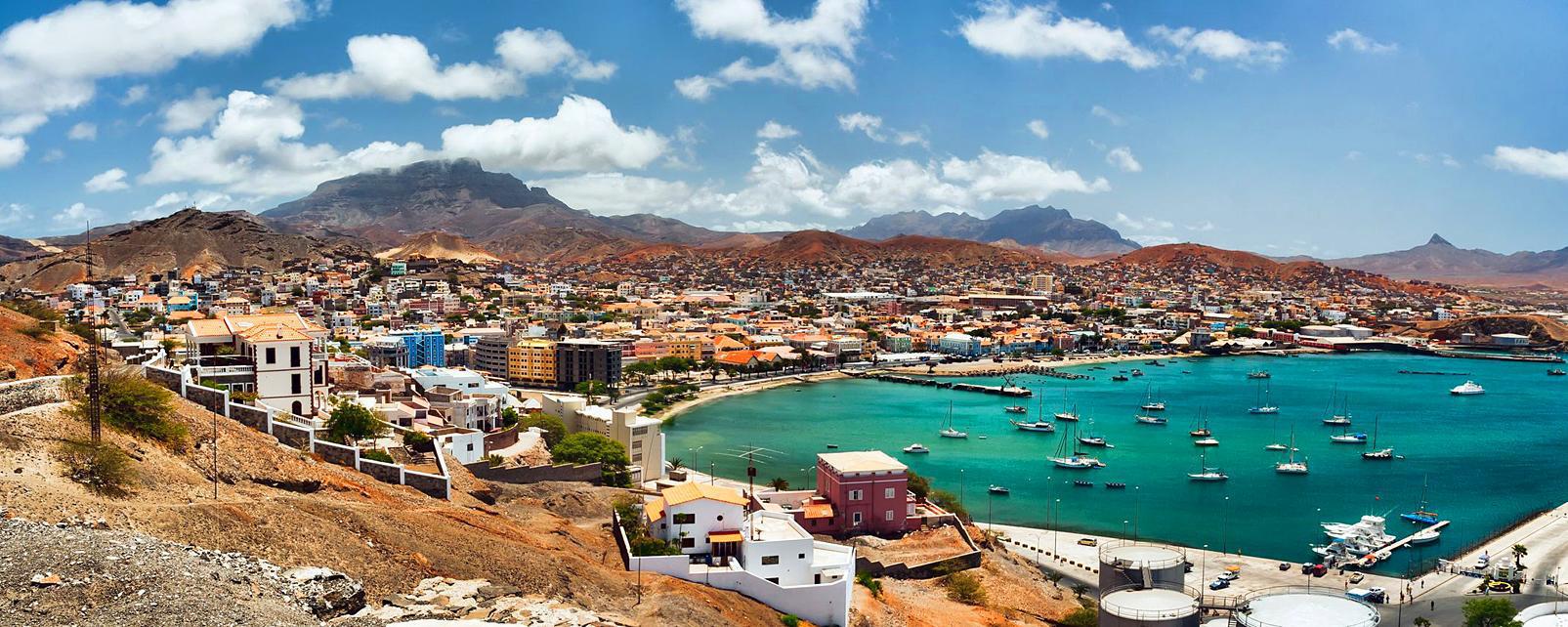
Cap Vert
Geographical location
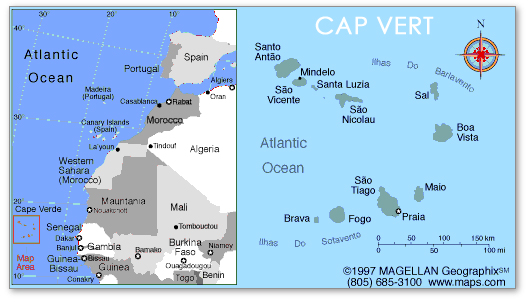
The Cap Vert (French ), originally Cabo Verde ( portugies. to German green cape or promontory ) is situated at 14 ° 45 'north latitude and 17 ° 31 ' west longitude in Senegal and is the westernmost point of continental Africa. The westernmost point of the Cap Vert is called Pointe des Almadies. The cape forms a barren peninsula of volcanic rock, which is covered with drift sand and often only a thin layer of vegetation provides food. In the vicinity of the Cape, on the twin basalt cones Deux Mamelles, the highest with about 100 meters height surveys the coast of Senegal, the Phare des Mamelles was built, which is considered by the lighthouse on the Cape of Good Hope as the most powerful lighthouse in Africa. Behind the Deux Mamelles are the start and runways of the airport of Dakar.
The cape is part of the urban area of the capital, Dakar, and is part of the arrondissement Ngor. Ngor is also the westernmost settlement in this district and therefore the westernmost settlement on the African continent.
Reached in 1445 and named the Portuguese navigator Dinis Dias this place.
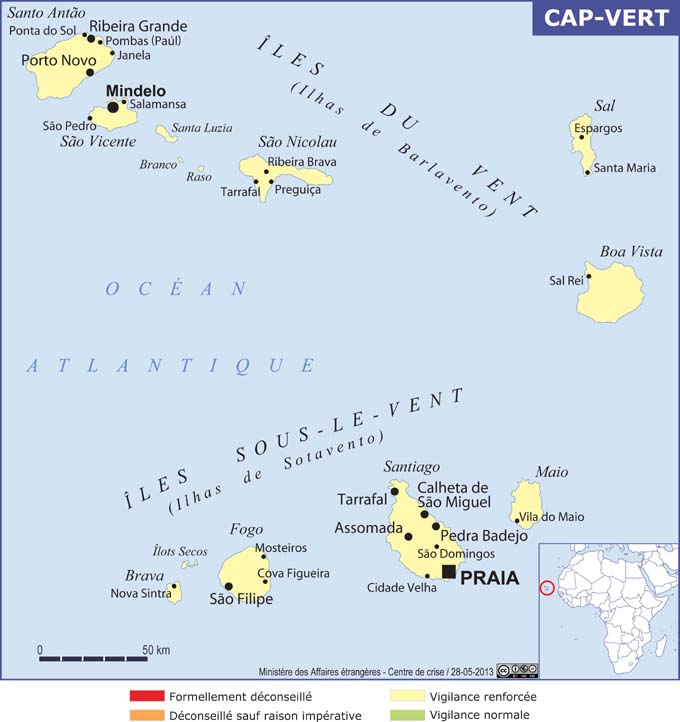
The name of the Cape Verde Islands is derived from Cabo Verde.


