Chainat Province
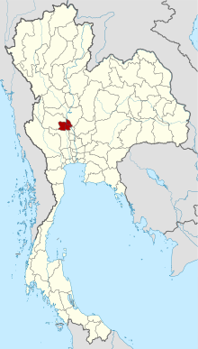
Chainat ( Thai: ชัยนาท, such as: " place of victory " ) is a province ( Changwat ) in the central region of Thailand.
- 2.1 Land Use
- 2.2 dams
Geography
Chainat is located about 180 kilometers north of Bangkok in the central plane of the Maenam Chaophraya. Most of the land is slightly higher than the neighboring provinces and is reported as used for agricultural purposes.
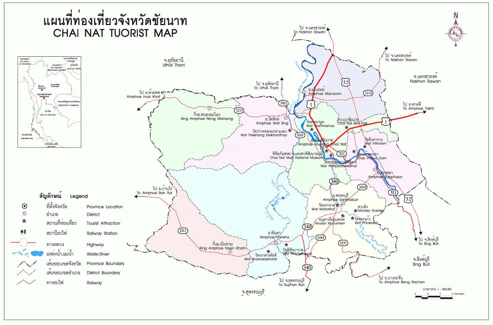
To the south, Thailand's first finished dam, the Chaophraya Dam, formerly called Chainat Dam. The dam is used both to control the water in the agricultural area as well as control the annual flood. The Chaophraya Dam was inaugurated in 1957.
Other major cities
- Sankhaburi
Climate
The climate is tropical and monsunal.
Population
In Chainat mainly Thais live. In addition, however resettlement of descendants of deported by the Siamese from Laos bonded laborers, those whose total number is khrang Lao in Thailand at 53,000.
Economic importance and
Chainat is not affected despite the relative proximity to Bangkok from tourism. Main source of income here is agriculture, in addition to the cultivation of rice and the pomelo fruit.
The "Gross Provincial Product" ( GDP ) of the province in 2008 amounted to 32 575 million baht. The average income per household was 2008 13.995 Baht per month.
Land use
According to Thailand in Figures ( 2011):
Dams
- Chaophraya Dam - 1957 privy Dam, about 8 km south of the provincial capital
History
Nakarintharathirat King of Ayutthaya in 1419 sent his third son, the prince Chao Phraya Sam to manage the city. Although he was his father's youngest son, Sam Phraya was appointed in 1424 as Borommarachathirat II to the 7th king of Ayutthaya. He let Chainat develop into an important base for troops, which should ward off the more frequent and stronger attacks against the Burmese Ayutthaya. They were also very often repulsed before 1767 Ayutthaya was completely destroyed.
From Chainat rolled from King Taksin, after he had made Thonburi the new capital of Siam, the Burmese occupation army and liberated the country from the rule. Since this time, the provincial capital of Chainat, "City of Victory", called.
Attractions
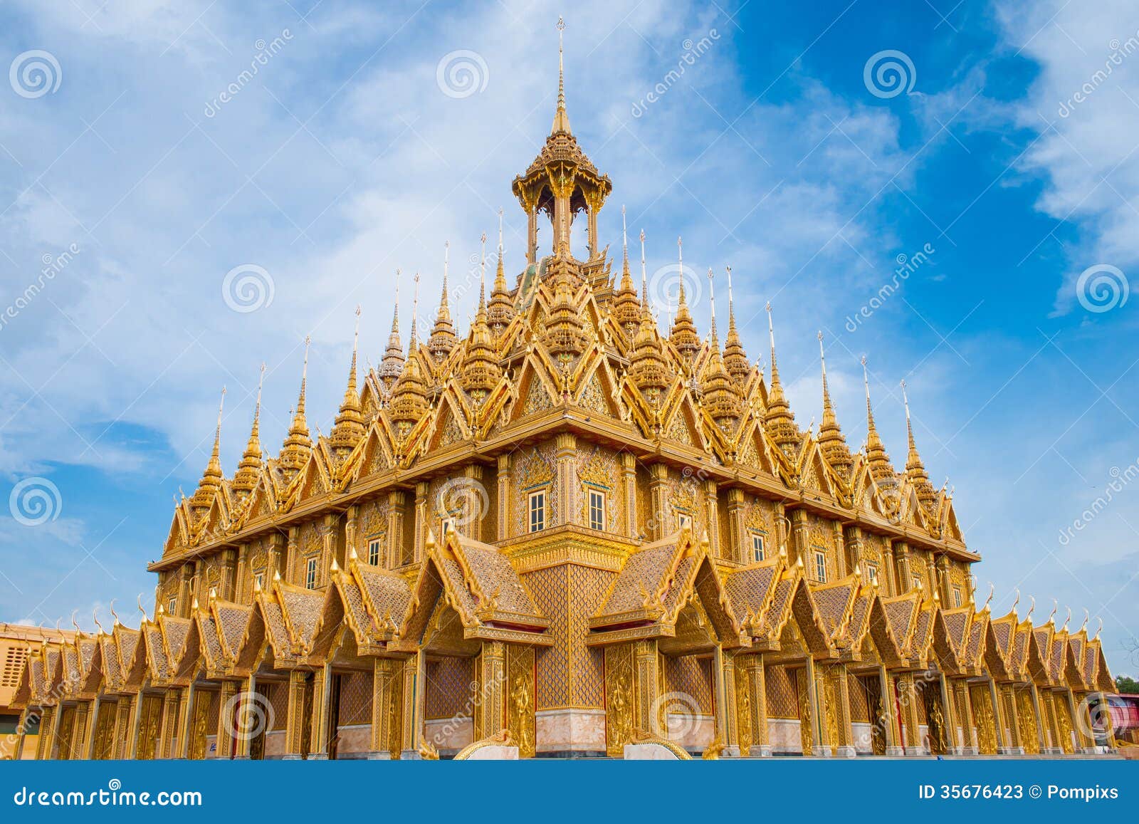
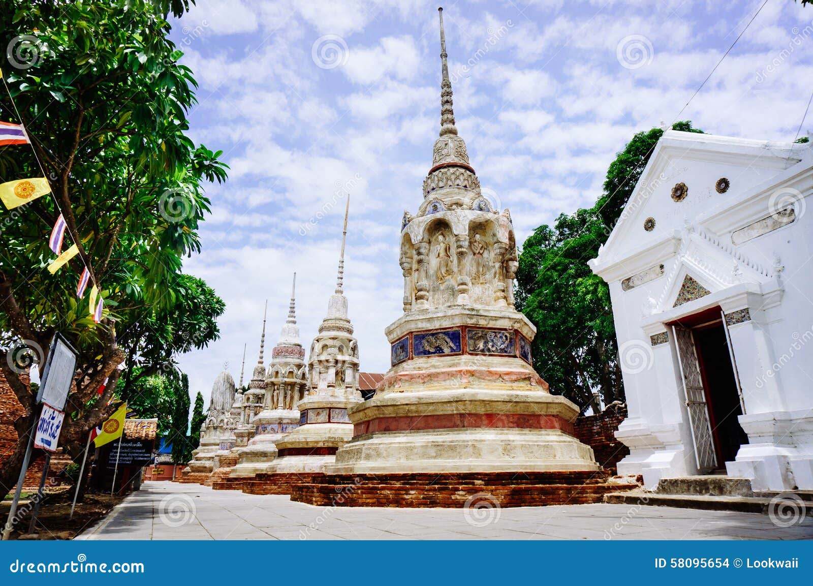
- Wat Thammamun Woraviharn ( Thai: วัด ธร ร มา มูล วรวิหาร ) - Buddhist temple ( wat ) at the foot of Thammamun - Berg on the left bank of the Chao Phraya River. Ubosot and viharn date from the time of the Kingdom of Ayutthaya. In the temple, the famous standing Buddha statue " Luang Pho Thammachak " can be seen.
- Chaophraya Dam - about 8 km south of Chainat
- The Chainat Bird Park lies underneath the mountain Khao plong; he shows about 3,000 representatives of indigenous birdlife.
Coat of arms
The coat of arms of the province of Chainat shows a Buddhist wheel Dharmachakra in front of a mountain, the Khao Phlong. The focus of the Chaophraya flows. The wheel symbolizes the belief of the inhabitants.
The local flower is the Bel tree ( Aegle mamelios, Bengal quince ), the local flower is the rainbow cassia ( Cassia javanica ).
The motto of the province of Chainat is:
Administrative units
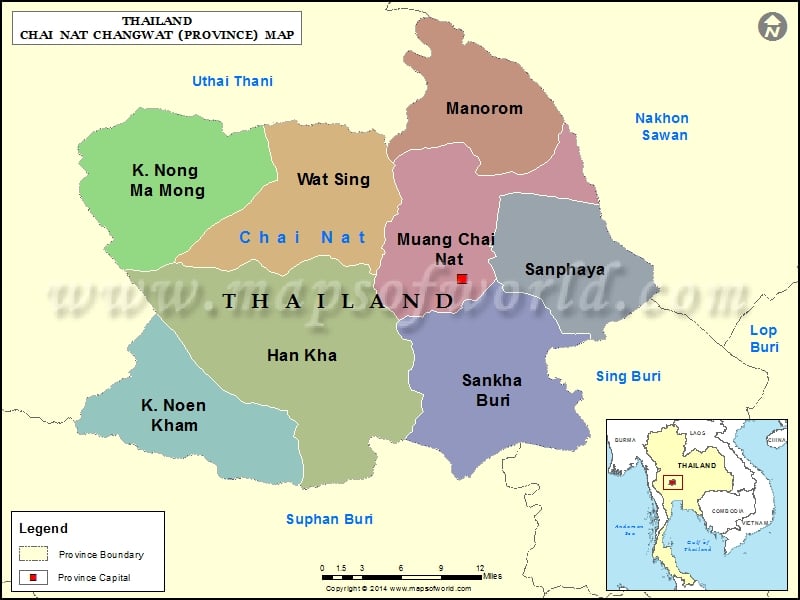
The Chainat province is divided into eight districts ( Amphoe ). The circles are again in 53 subdistricts (tambon ) and further subdivided into 474 villages ( Muban ).

