Chiloé National Park
The National Park Chiloé (Spanish: Parque Nacional Chiloé ) is 43 057 ha and is located in Chile in the Región de los Lagos. The National Park is located on the island of Chiloé in the municipalities of Ancud, Dalcahue, Castro and Chonchi.
Geography
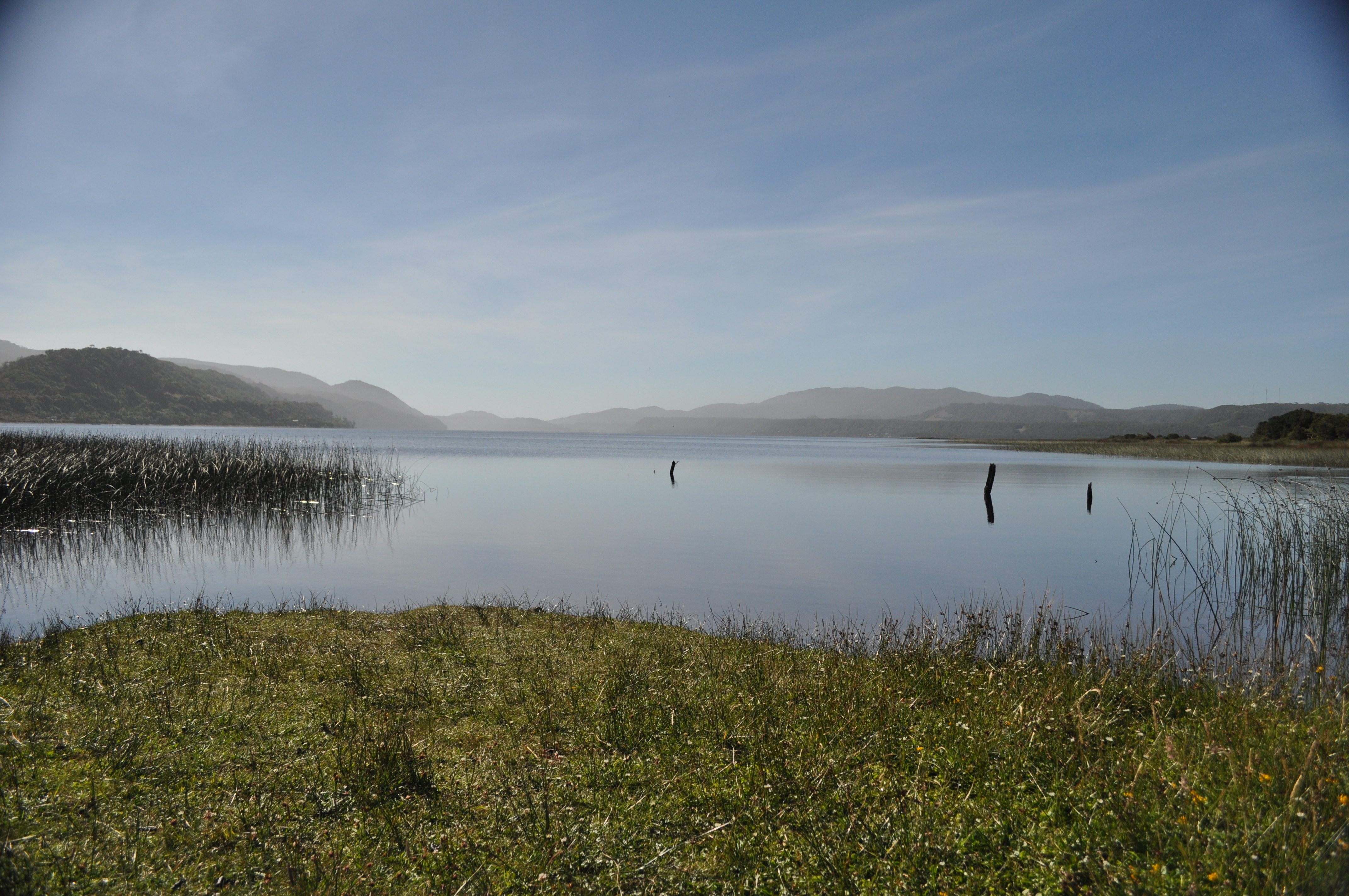
The National Park is located in the west of the island, at about the height of the capital of the island Castro. At the Pacific entrance to the National Park is the place Cucao. Here is the long beach of Bahia Cucao.
The National Park is divided into three territories and has a total area of 430 km ²:
- Anay 352 km ²
- Chepu 78 km ²
- Island Islote Metalqui 0.5 km ²
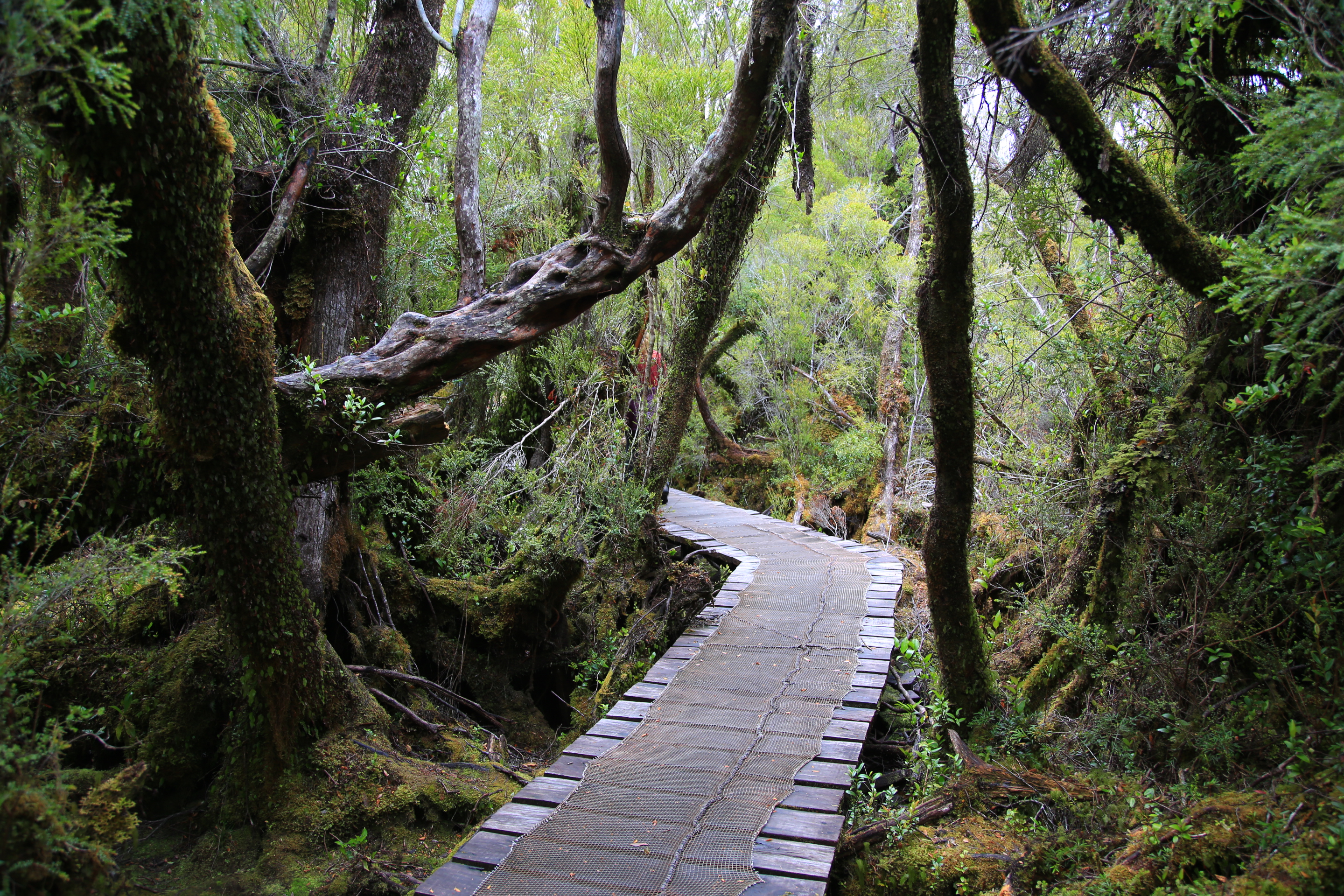
The Pacific beaches offer many dunes and are very popular with beach tourists. Inside there are large pine forests and Tepü trees. However, the weather on Chiloé is very rainy and overcast. The best time to visit the park is from September to March.
History
The island was inhabited long before the Spaniards of the Huilliche Indians. In 1553, the Spaniards entered the first time the island in 1567 and founded the town of Castro. The island remained even after the independence of Chile still in Spanish hands. It was not until 1826 that Chileans took the island in full possession.
1834 Charles Darwin visited the island. The National Park was established in 1983. On and in the National Park, there are still two Huilliche settlements: Huentemó and Chanquín.
Fauna
The wildlife of the National Park Chiloé consists mainly of birds and marine mammals. The park is home to over 100 different species of animals.
On the coasts of penguins can be observed. On the island Metalqui that may be entered only with special permission, there is a large colony of sea lions ( Otaria flavescens).
Land mammals are less common in the park. In the forest of Pudu ( Pudu puda ), one of the smallest deer of the world, and the endangered Chiloe fox live ( Pseudalopex fulvipes ). At the estuaries of the Southern river otter (Lutra provocax ) occurs, which feeds on fish and molluscs.
Infrastructure
In Cucao and its neighborhood Chanquín restaurants and accommodation for tourists are available. Local guides offer guided tours. You can also rent horses and boats. From Chonchi and Castro made several daily bus services to Cucao, isolated even after Chanquín. Buses run up to the 1998 newly built bridge over the Río Cipresal.
Between Cucao and Chanquín a small museum on the site of park headquarters, and from there also results in a 710 m long forest trail ( Sendero educativo " El Tepual " ) by a piece of the park.
Hiking map
A date map is available in Castro in CONAF info office just west of the Plaza de Armas or at the entrance of the national park.


