La Brèche de Roland
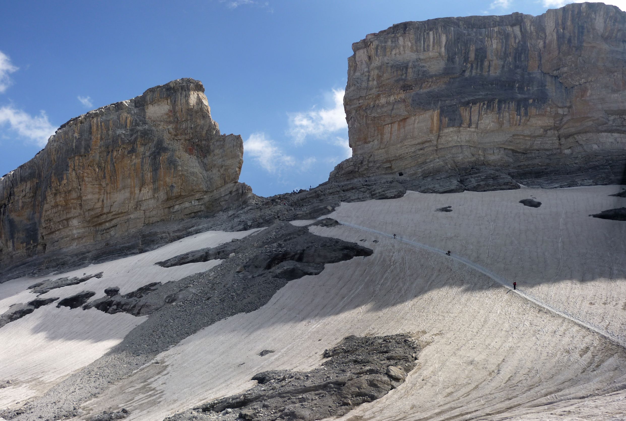
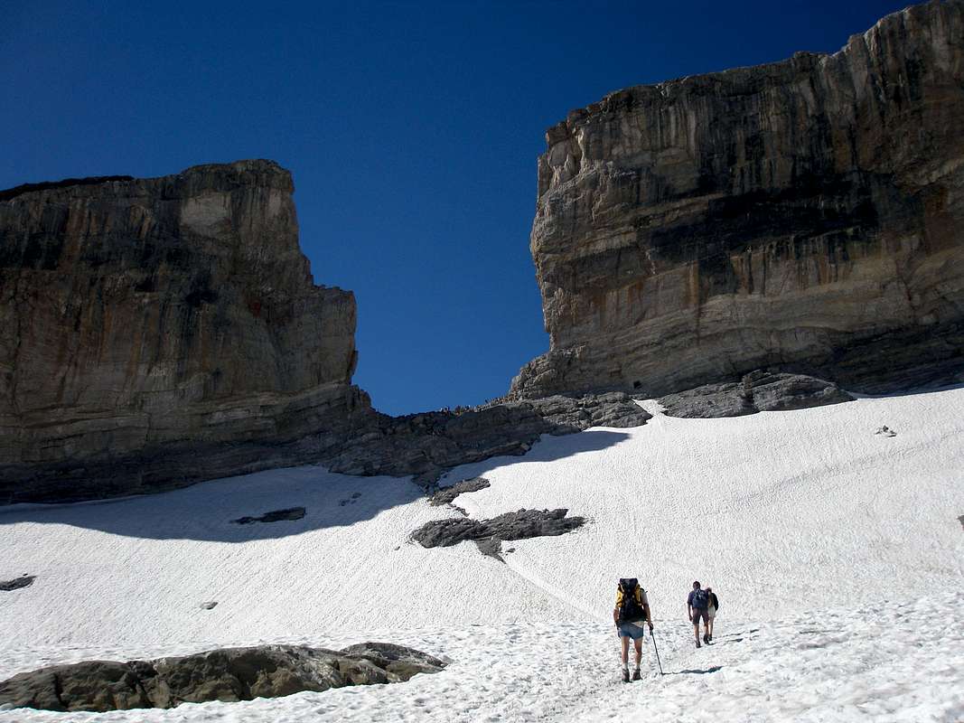
La Breche de Roland, seen from the French side.
K
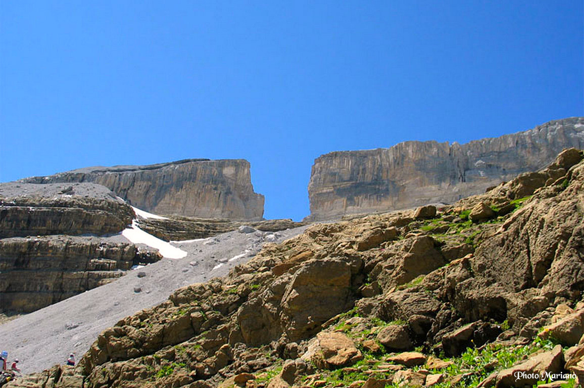
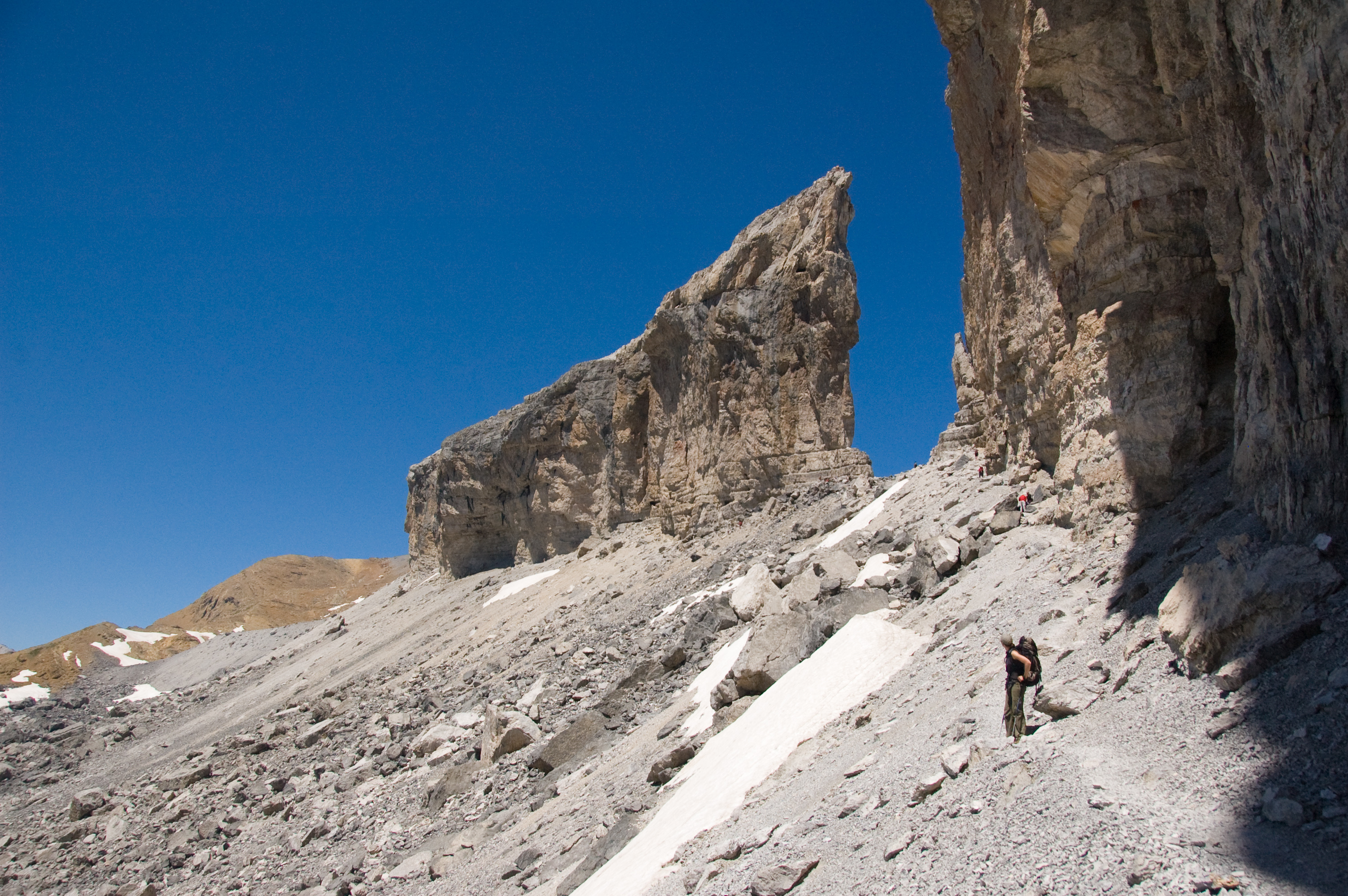
The Breche de Roland (Spanish Brecha de Rolando, Aragonese Breca de Roldán; German also Rolandsbresche ) is a saddle at an altitude of 2807 m in the Pyrenees on the border of the department of Hautes -Pyrénées, France and Aragonese province of Huesca, Spain. The saddle is 40 m wide and is overlooked on both sides by 100 meters of steep rock walls.
The saddle is located in the main ridge of the Pyrenees, where the Spanish national park Ordesa y Monte Perdido are adjacent on the southern side of the border and the French Pyrenees National Park. North of the saddle are the remains of the small glacier Glacier de la Breche and northeast of the steep cliffs of the Cirque de Gavarnie.
It is said that the Breche de Roland was cut by Count Roland with his sword Durendal in an attempt to destroy the sword after he was defeated at the Battle of Roncesvalles 778.
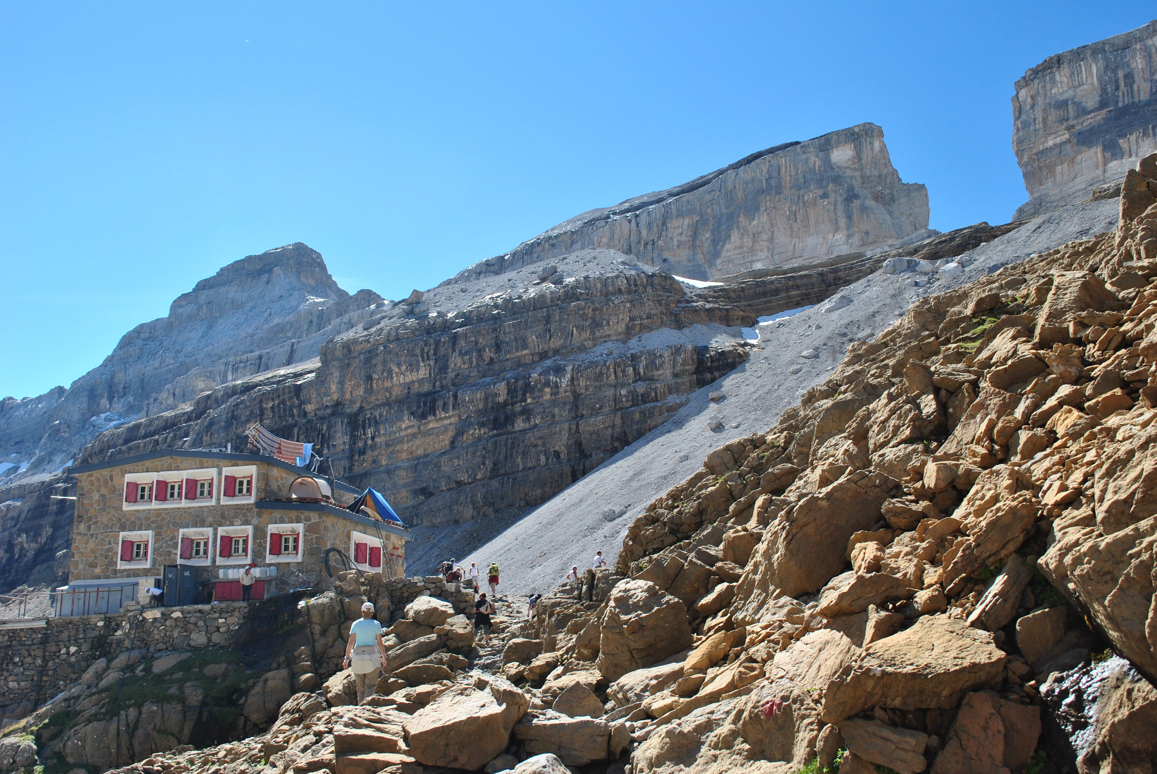
The saddle can be prepared starting from the nearby mountain hut Refuge de la Breche the Sarradets ou de Roland ( 2587 m) can be reached in about one hour ascent, on the southeast side is the Refugio de Goriz ( around 2200 m). The transition from Refugio de Goriz the Refuge des Sarradets via the Breche de Roland takes about 4 hours.


