Achterwasser
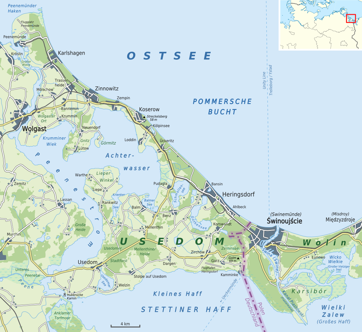
The backwaters ( Low German aft " rear, rear" ) is a lagoon of the opening into the Baltic Sea Peenestrom.
It extends so far into the island of Usedom, that it is separated between Ueckeritz and Zinnowitz only by a narrow spit from the open Baltic Sea. Is framed the backwaters on the north by the Gnitz peninsula and in the south by the Lieper angle. The reedy southeastern bulge is called Balmer Lake, the most south-westerly, which is difficult to access on its west side, Krienker lake.
In past centuries consisted in a storm floods that went over people, the island of Usedom, sometimes direct contact of the Baltic Sea, where the narrowest point of the land bridge between Zempin and Koserow on Rieck trench ( near Lüttenort / Museum of the painter Otto Niemeyer -Holstein) has been flooded. This land bridge between the backwaters and the Baltic Sea is only about 300 meters wide here.
The aft water is not very deep and a popular surfing and sailing area. The beach of the eight water on the peninsula Gnitz is not as fine as the Baltic Sea beach of Usedom. The reason of the eight water is rocky in many areas.
On maps of the Middle Ages and the early modern period there is also the obsolete name " Lassa cal water" or the plural " Lassansche water ". The term referred to the farming community town Lassan that - the only town on the backwaters - at that time owned the fishing justice for these waters.
Gallery
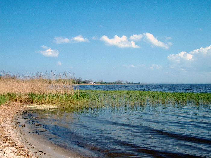
On the aft water before Loddin after rain and storm
Backwaters before Loddiner Hoeft '
Resting Eagle on dead river bank trees Lieper angle
Places and landscapes on the backwaters
- Balmer Lake
- Peninsula Gnitz with capital Lütow and island Görmitz
- Koserow South Side
- Krienker lake with former manor Dewichow on its eastern shore
- Krumminer Wiek
- Lassaner angle with capital Lassan
- Lieper angle with capital Liepe
- Loddin with Loddiner Hoeft
- Ueckeritz - South Side
- Zempin - South Side


