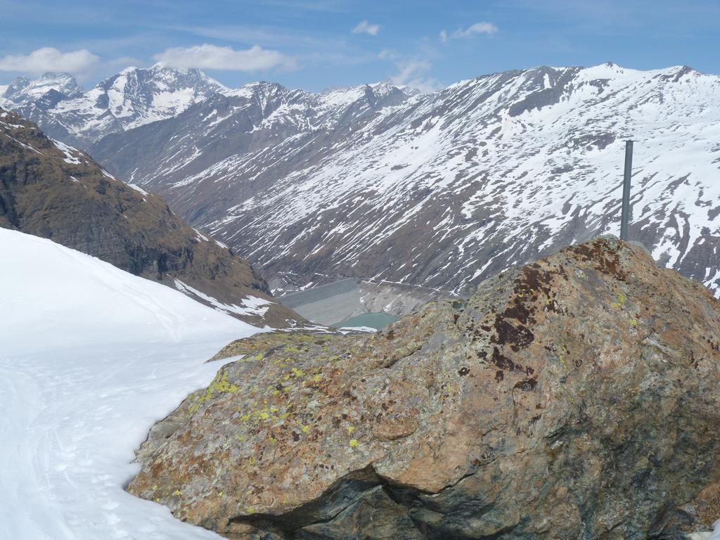
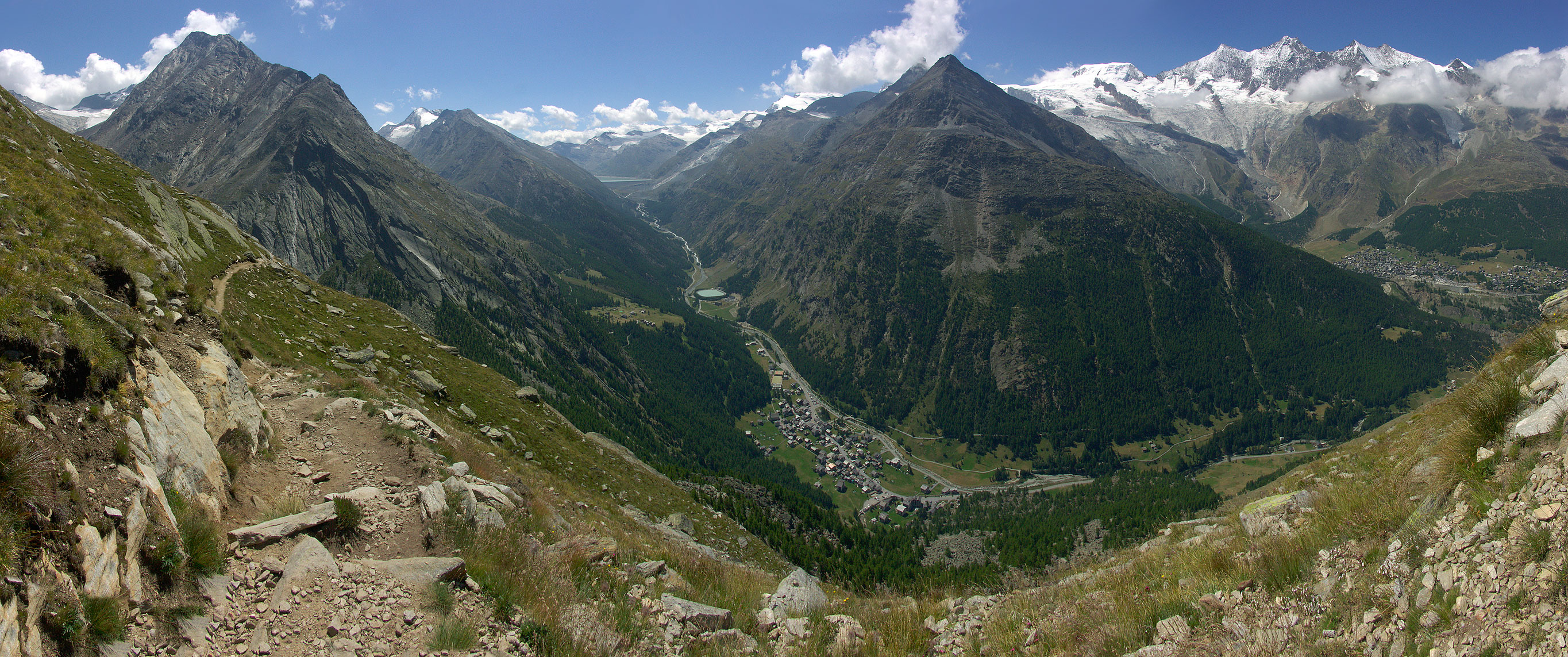
Almagellhorn
Almagellerhorn from the northwest, from Saas Fee
The Almagellerhorn (also Alma Gellhorn, 3'327 m above sea level. M. ) is a summit of White Mies group in the Valais Alps. The little glaciated mountain is located on the east side of the Saas valley, less than five kilometers south of the White Mies and is the dominant mountain above Saas Almagell. To the north of the summit is the Almageller, the south Furggtälli. the valley of the Antronapass forms.
The shapely pyramid offers particularly of Saas Fee, an interesting sight, as from there approximately form suitable perspective from the ridges of the mountain and the valley sides of the Saas Valley a diamond. The study Carl Zuckmayers which he used after 1958, in which he wrote his autobiography, offered this view of the Almagellerhorn. Thus, this view could not be displaced by new buildings, he acquired a piece of land in front of the house.
Increases
In the year 2011 (2346 m ) was applied, a marked route in the southwest of the summit of accessible by chairlift lookout Heidbodme. These results, together with the first trail to Antronapass in an easterly direction. After about 45 minutes you turn of this in a northwesterly direction and reaches a little later the so-called Panormaplatz that represents the starting point of a via ferrata similar route at the beginning of the south- of Almagellerhorn. About this assured, places exposed portion to be overcome about 150 meters, then the route to or in the vicinity of the south- over block terrain and presents climbing difficulties in the first difficulty. From Heidbodme you need about three hours to the summit.
Alternatively, the mountain can be climbed in about 4 ½ hours from Saas Almagell over the Westnordwestgrat. This ridge can also be reached from the north of the Almagelleralp. Another possibility is the increase in South-east from Kanziljoch ( 3189 m). The yoke can be reached either by the Furggtälli or from the north from Almageller, where there is little Wysstalgletscher to cross. This increase is considered to be little difficult (WS ), the increase over the Westnordwestgrat as light ( L).
Sources and maps
- Maurice Brandt: Valais Alps. Volume 5, From Strahlhorn to the Simplon. Rother Berg Publisher, 1993, ISBN 3-85902-129- X
- Hiking map, ski 1:25.000, Saas Fee. 2007 Rotten Verlag, ISBN 978-3-905756-25-8 ( Base Map: National Maps of Switzerland 1:25.000)


