Athenry
Athenry ( ausgespr. [ æθənraɪ ], Irish Baile Átha at Rí [ bal'ɑ ː hən̪ri ː ] ) is a riverside Clareen ( Abhainn an Chláirín ) located city in the south of County Galway, Ireland. It has 4,834 inhabitants ( 2011).
Name
The name of the town goes back to the Irish name Baile Átha on / na Riogh. This is translated differently. Firstly, as a " town of the ford of the King / Kings", where " kings " refers to the three meet here, Old Irish kingdoms. Secondly, it is interpreted as "City of river ford ", where Riogh should go back to the Indo-European root H1reiH - for "flow" like the Rhine. The current official name of the city in modern Irish is Baile Átha sensitive to Rí, "Town ( at ) the ford of the King", or short Áth at Rí ( [ ɑ ː hən̪ri ː ] ).
History
A aufgefundener near Athenry shield from the Bronze Age settlement puts an already close to 3,000 years ago. The region is connected to the root of the Auteri, which have already been drawn by Ptolemy on his map of Ireland in the Geographike Hyphegesis. It is believed that Athenry became the headquarters of the Auteri because of the ford and its excellent proximity to the Three Kingdoms Hy -Many of the O'Kelly's, Hy - Briuin Seola the O'Flahertys and Hy - Fiachrach the O'Hynes.
At the beginning of the 12th century Connacht was still under control of the Irish King Cathal O'Conor Crovderg who had submitted to the English crown and held as a fief for an annual payment of 300 marks since 1215 Connacht. When he died in 1224, his son Aedh saw accordance with English law as successor, but was apparently not accepted by the Irish followers according to Irish law, the knew no primogeniture. Against the riots Aedh received support at the beginning of the English side, but in 1226 the decision was made to confiscate Connacht and give Richard de Burgh as a fief, which it urged for some time. 1235 troops crossed under the direction of Richard de Burgh, along with other barons of the families de Berminghams, De Lacy and Shannon Fitzgerald and brought most of the province of Connacht quickly under their control. This was achieved despite the numerical superiority of the Irish by the better equipment, the use of Welsh archers and the use of knights on horseback, who were supported by the Flemish foot soldiers. After the successful conquest bases were established at strategic locations. In addition to Athenry and Dunmore, Loughrea and Galway belonged to it.
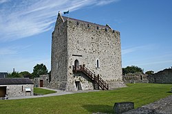
The medieval agriculturally important place was first mentioned in 1238, when the castle by Meiler de Bermingham (also Meyler ) was built in the 2nd Baron of Athenry. In 1316 the Battle of Athenry took place here, in the Richard Og de Burgh, 2nd Earl of Ulster defeated the king of Connacht.
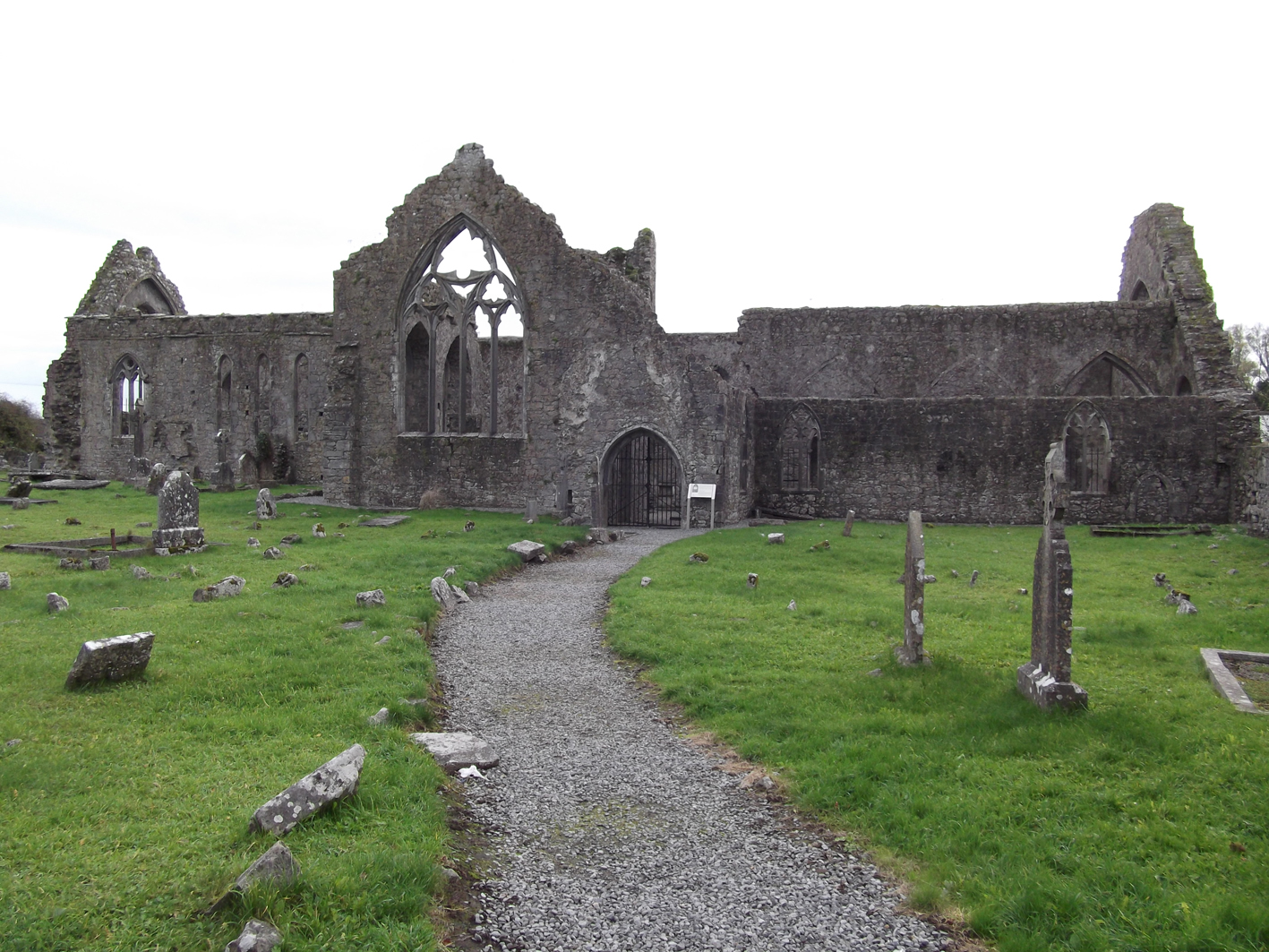
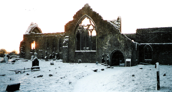
The castle has been restored to visit and to this day next to the city wall, a gate, and the ruins of the priory, founded in 1241 the Dominicans largely preserved or restored the biggest attraction of the place. Athenry is located 24 km east of Galway city.
Athenry is connected to the Irish railway network since 1 August 1851.
Acquaintance was the place by the Irish song The Fields of Athenry, which deals with the situation during the Irish famine 1846-1849.


