Autechaux-Roide
Autechaux -Roide is a commune in the French department Doubs in the Franche -Comté.
Geography
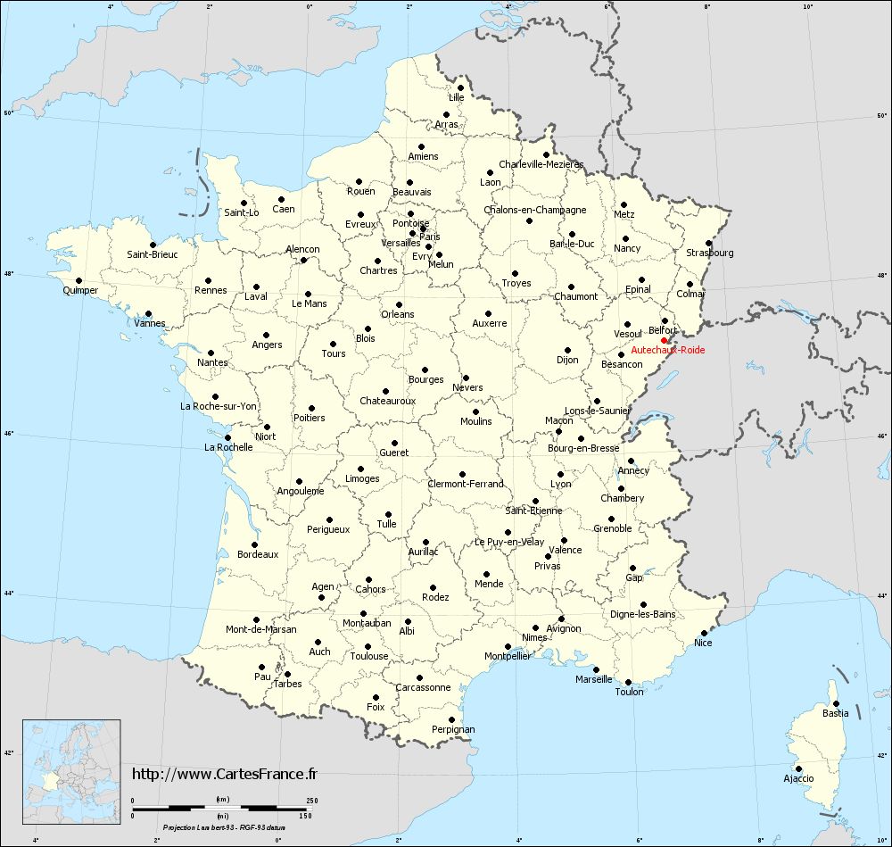
Autechaux -Roide is located on 496 m, about 13 km south of the town of Montbéliard (air line). The village is located in the northern Jura, on a ridge overlooking the valley of the Lomont Roide north and east of the Doubstals.
The area of 6.56 km ² municipal area includes a portion of the northern French Jura. The northern part of the territory is occupied consisting of Sequan and Kimmeridgekalken from the projection of Autechaux and the gently undulating Tafeljura plateau. The latter is on average 560 m and is mainly consisted of arable and meadow land. With 575 m is at Écurcey reached the highest elevation of Autechaux -Roide. The eastern boundary is located at the edge of the plateau of Blamont.
In the south, the area comprises approximately 150 m deep sunk into the surrounding plateaus valley of Roide. The creek originates below the projection of Autechaux and drains the area west of the Doubs. Its slopes are, especially on the south side, divided by various gullies, including the Combe des Eaux ( western border ), the Combe du Paigre, the Combe du Girardot and the Combe Jorbey. The valley slopes are mostly forested and crisscrossed in different places of Kalkfelsbändern. The southern boundary runs along the northern slope of the Lomont.
To Autechaux -Roide addition to the actual site also includes the settlements:
- Roide (380 m) in the valley of Roide
- La Crochère (392 m) in the valley of Roide
Neighboring communities of Autechaux -Roide are Écurcey in the north, Roches- lès- Blamont and Blamont in the east, Pierre Fontaine- lès- Blamont in the south and Pont -de- Roide in the West.
History
Since the Middle Ages the main part of Autechaux to rule Blamont owned (owned by the Lords of Neuchâtel ), while the remaining part was under the sovereignty of the Counts of Montbéliard. After the entire village was in 1506 came under the suzerainty of the Count, the Reformation was introduced. As part of the rule Blamont, which formed one of the four gentlemen of the Principality of Montbéliard and was annexed in 1699 by France, Autechaux 1748 came contractually finally to France. To avoid confusion with other communities of the same name, Autechaux was officially renamed in 1922 in Autechaux -Roide. Today, the village belongs to the municipality of Communauté de communes Association des Balcons du Lomont.
Attractions
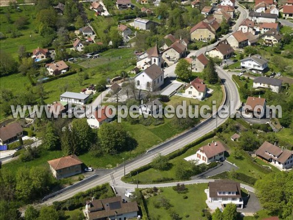
The village church of Autechaux -Roide was built in the 18th century. In the village there is a chapel.
Population
With 556 inhabitants (as of 1 January 2011) Autechaux -Roide is one of the small communities of the department of Doubs. Once the population has consistently had in the first half of the 20th century in the range of 220 to 260 people, a significant population growth was recorded from 1970 to 1982. Since then, the population remained at an approximately constant level.
Economy and infrastructure
Autechaux has long been a predominantly by agriculture (crops, orchards and livestock ) embossed village. Ever since the beginning of the 19th century, the water power of the Roide was used by several mills and a sawmill. Today, in the valley of Roide various companies resident in particular in the fields of rolling shutters, Decolletage and civil engineering. There are also some plants of the local small business sector. Many workers are also commuters who do their work in the agglomeration Montbéliard.
The village is located off the major thoroughfares on a secondary road, leading from Pont -de- Roide after Hérimoncourt. The nearest links to the A36 motorway is located at a distance of about 13 km. Further road links exist with Écurcey and Pierre Fontaine- lès- Blamont.


