Avers Rhine
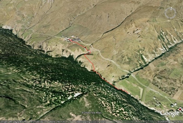
Avers Rhine in Obverse Cröt
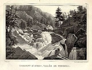
The Avers Rhine (also Averserrhein, Romansh in the idiom Sutsilvan: Ragn since Ferrera ) is a tributary of the Rhine back in the canton of Grisons.
History and characteristics
The river originates in Avers by the confluence of the Bergalgabaches with the slightly smaller Jufer Rhine, the highest permanent settlement in Europe ( juf, near the border with the county Albula) is known. In a deep, spanned by the 80 meter high gorge Lezibrücke the Avers Rhine overcomes the valley slopes at the lower valley of the coming from the left, slightly smaller Madrischer Rhine ( Quellgebiet46.3899106813899.51207100555562200 ). After the confluence it bears the name Ragn as Ferrera ( Ferrera Rhine ), while retained in German usage, the name Avers Rhine. Also from the left opens a few kilometers below the almost completely fluent in Italian territory Reno di Lei ( Quellgebiet46.38583653759.44722823333332400 ) with large, erected on Swiss territory dam.
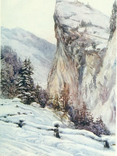
The following Val Ferrera has two populated Talweitungen. At the top he is dammed at Innerferrera ( Calantgil ) since 1961. Below Ausserferrera ( Farera ) accompany high rock walls, the U-shaped valley. The Avers Rhine flows then in the Roflaschlucht above Andeer in the back of the Rhine, which he meets with his water flow of 11.5 m³ / s to about 3%.
Tributaries
- From left: Bergalga ( Hauptquellast of Avers Rhine )
- Madrischer Rhine ( Romansh: Agua da Madris )
- Reno di Lei
- Ual as Niemet
- Jufer Rhine
- Maleggabach
- Ava since Starlera
- Ava since Mulegn
- Ouch Granda


