Ban Na District
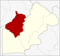
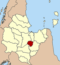
Amphoe Ban Na ( Thai อำเภอ บ้านนา ) is a district ( Amphoe - administrative district ) in the western part of Nakhon Nayok. The Nakhon Nayok province is located in the north-eastern area of the central region of Thailand.
Geography
Neighboring districts ( from east clockwise): Amphoe Mueang Nakhon Nayok and the Ongkharak of Nakhon Nayok, Amphoe Nong Suea the province of Pathum Thani, and Amphoe Wihan Daeng and Kaeng Khoi Amphoe of Saraburi province.
The most important water resource in the district is the Khlong Ban Na.
History
During the Ayutthaya period, the inhabitants of a village in Tambon Pa Kha elephant - catcher ( กอง โพน ช้าง ) were the wild elephants einfingen by training them to war elephants.
The district of Ban Na was established in 1903 under the name Tha Chang ( elephant pier ). Since the administration building at Tambon Bang O had an unfavorable position when it came to transportation and annual floods, the government moved in 1965, the building in the Suwannason Road.
During a general refurbishment in the early 20th century, the district of Ban Na was initially assigned to Saraburi province, but on May 9, 1946 Nakhon Nayok back to.
Management
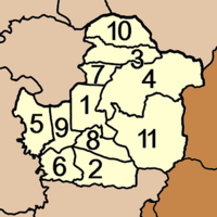
The Amphoe Ban Na is divided into ten municipalities ( tambon), which continues in 117 villages ( Muban ) are divided.
The small town ( thesaban tambon) Ban Na ( Thai: เทศบาล ตำบล บ้านนา ) covers parts of tambon Ban Na and Phikun Ok.
In addition, there are ten " Tambon Administrative Organizations" (TAO, องค์การ บริหาร ส่วน ตำบล - administrative organizations) in the district.


