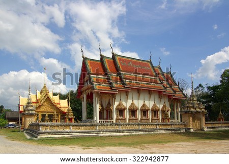
Ban Ta Khun District
Amphoe Ban Ta Khun ( Thai: อำเภอ บ้านตาขุน ) is a district ( Amphoe - administrative district ) in the west of the province of Surat Thani. The Surat Thani Province is located in the southern region of Thailand.
Amphoe Ban Ta Khun is both the geographically largest county in the province, but has also the lowest population density.
Geography
The district lies in large part in the Phuket mountain range. Parts of the district are protected by the National Park Khao Sok. The Wildlife Reserve ( Wildlife Sanctuary ) Khlong Saeng, which is located mainly in the province of Ranong, occupies a small part in the northwest of the district.
The Saeng Canal ( Khlong Saeng ) is the largest river of the circle. He is dammed by Ratchaprapha Dam to Chiao Lan Lake. Near the city of Khao Wong it flows into the Phum Duang - River.
The neighboring Amphoe and territories are (from north clockwise): Amphoe Tha Chang which, Vibhavadi, Khiri Council Nikhom and Phanom in the province of Surat Thani. To the west lies Amphoe Khura Buri Province Phang Nga and in the northwest Amphoe Suk Samran and the Kapoe the province of Ranong.
History
The district was established on 20 July 1973 as a sub-district ( King Amphoe ) by five Tambon were separated from Amphoe Khiri Council Nikhom. The fifth Tambon Krai Son ( ไกรสร ) was later merged with Tambon Khao Phang. On September 9, 1976 Amphoe status was granted in full.
Administrative units
The Amphoe Ban Ta Khun is divided into four subdistricts ( tambon), which in turn have together 29 municipalities ( Muban ). There are two small towns ( thesaban tambon) in the district: Khao Wong consists of 7.8 km ² of Tambon Khao Wong, Khao Pang consists of 10.1 km ² of Tambon Khao Pang. Each of the four tambon is managed by a Tambon Administrative Organization ( TAO).


