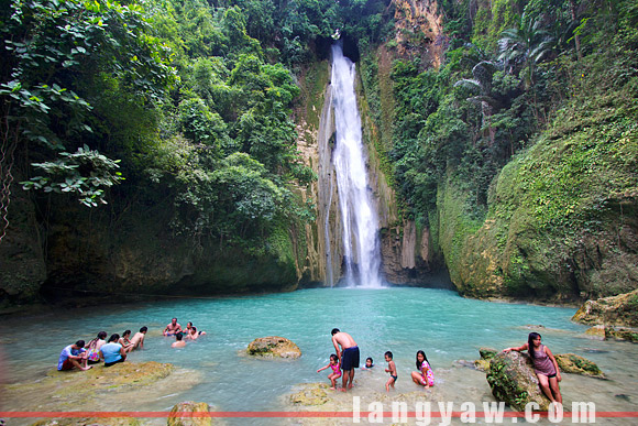
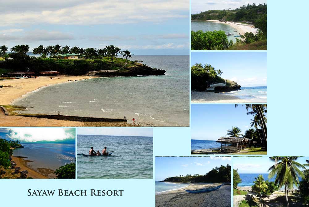
Barili, Cebu
Barili is a Philippine municipality in the province of Cebu.
Geography
Barili is located 61 km southwest of Cebu City. It borders the municipalities Dumanjug in the south, Aloguinsan to the north, Carcar City and Sibonga in the east. To the west lies the Tanon Strait separates the islands of Cebu and Negros.
Barangays
Barili is politically subdivided into 42 barangays.
- Azucena
- Bagakay
- Balao
- Bolocboloc
- Budbud
- Bugtong Kawayan
- Cabcaban
- Campangga
- Dakit
- Giloctog
- Guibuangan
- Giwanon
- Gunting
- Hilasgasan
- Japitan
- Cagay
- Kalubihan
- Kangdampas
- Candugay
- Luhod
- Lupo
- Luyo
- Maghanoy
- Maigang
- Malolos
- Manta Longon
- Mantayupan
- Mayana
- Minolos
- Nabunturan
- Nasipit
- Pancil
- Pangpang
- Paril
- Patupat
- Poblacion
- San Rafael
- Santa Ana
- Sayaw
- Tal -ot
- Tubod
- Vito
History
The name derives from Barili Balili, named for a native grass from. The municipality was founded in 1632, the church was already established in 1614. 1602 arrival of the Spaniards led by Juan Juarado a cross was erected. This cross still exists today.
Economy
The main products Barilis are rice, corn, bananas and coconuts.


