Battenberg, Rhineland-Palatinate
Battenberg (Pfalz ) is a municipality in the district of Bad Durkheim Rhineland- Palatinate. It is located 20 km west of Ludwigshafen - right on the demolition of the Rhine Graben - and part of the municipality of green urban-rural.
- 5.1 traffic
- 5.2 Population development
Geography and Geology
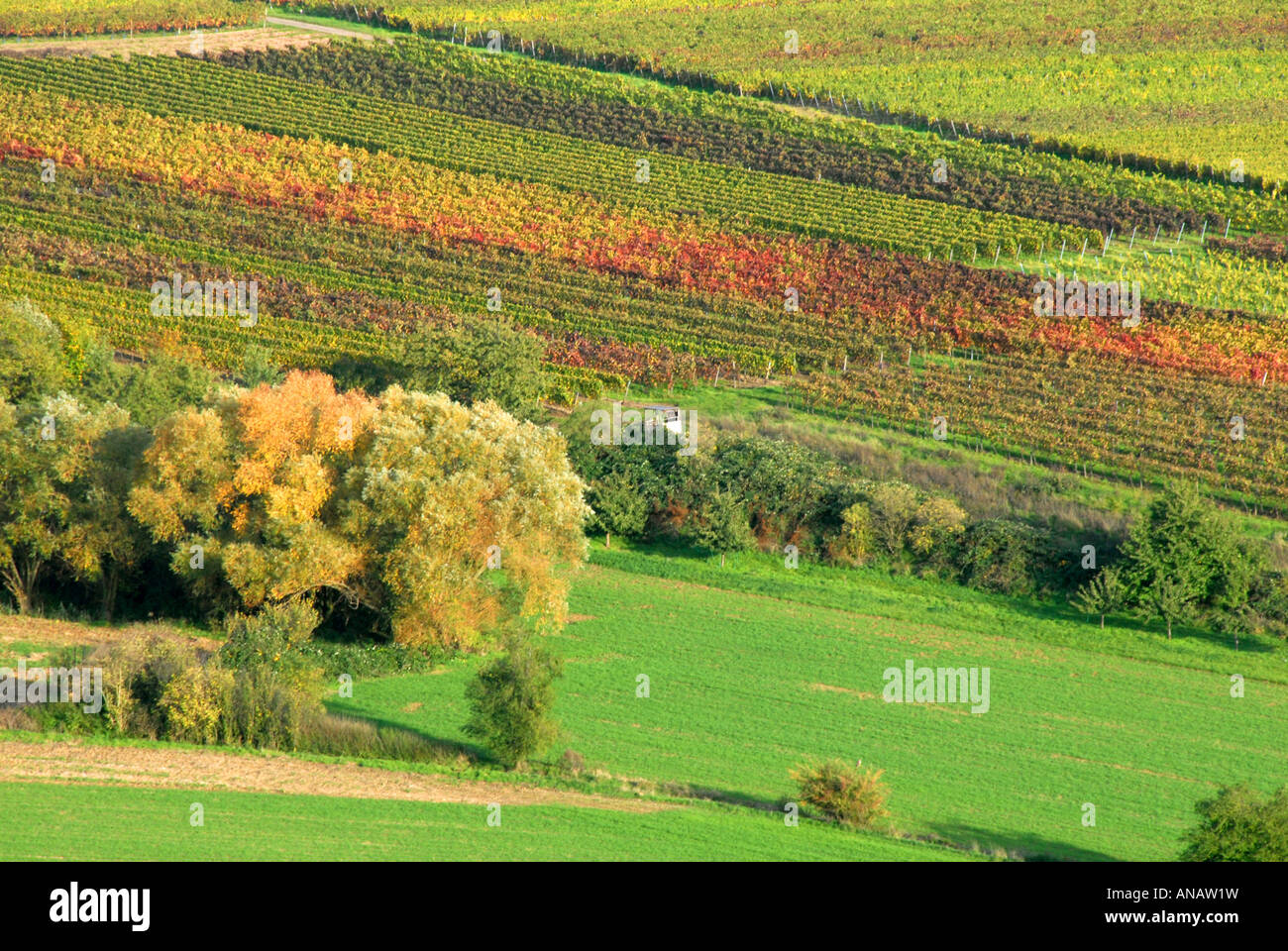
Battenberg is in the northwest of the European Metropolitan Region Rhine -Neckar and on the western edge of the Upper Rhine Plain. Geologically, this is the interface between the low mountains of the Palatinate forest ( which expires in here to the northeast ) and the deep grave breach of the Rhine Valley.
Battenberg sits exactly at the end of this edge Mountains on Leininger spur, where it drops to Eisenberger basin to the northwest. On the eastern slopes of this spur those fault line on which the former base of the Upper Rhine Graben over 10 km sank into the deep and was filled with younger sediments to the current plane. The mountainous border consists largely of red sandstone, which arose here 250 million years ago from blow- desert sand.
In 300 meters, about 150 meters above the right bank of Eckbachs, the small village grouped west of the castle of the same name.
Striking projections on boundaries of the municipality are the resin hamlet head ( 415 m above sea level. NHN ) and the Pickelhaube ( 361 m above sea level. NHN ). Neighboring municipalities are - clockwise - Neuleiningen, Kleinkarlbach, Bobenheim on the mountain and Altleiningen.
Prehistory and history
When you place an altpaläolithischer site is situated with Amboßsteinen, gravel equipment, heavy dressed stone, splitters and massive scrapers, fraught from the Acheulean to part with desert varnish. The room was free glacier during the Ice Age. Very controversial (see Altpaläolithische cabaret ) are found by Kurt E. Kocher quartzite artifacts, in which he recognizes facial profiles, idols or animal sculptures, which he assigns to Homo erectus and Neanderthals. Most have an age of more than 120,000 years. A similar fund, which is dated to 230,000 years comes from the Golan Heights.
Early practiced the Lorraine Abbey Glandern who was wealthy in green city and Mertesheim, the right of patronage for the surviving Martin church, which was transferred in 1231 to the Worms cathedral chapter. However, more often called first mention of Glanderer ownership in Battenberg, in 836, is based on a forged document. Even after 1231 seems to have had rights to the church Glandern, because 1324 was the local abbot his consent to the Foundation in 1315 made a measurement benefice on a newly built altar of Battenberg church.
Castle Battenberg, since the Middle Ages the property of the Counts of the Leininger, which at that time belonged to the Leiningerland, controlled along with the north across the street ( straight line 1400 m ) Castle Neuleiningen the input of Eckbachtales.
From 1816 to the Protestant parish of Battenberg belonged to the Kingdom of Bavaria and was part of the canton green city in the Rhine district. In 1840 the town had 45 houses and 269 inhabitants, of whom 48 Mennonites.
On September 7, 1966, the community was to distinguish it from Battenberg ( Eder) the additional name " Pfalz ". 1969 ended the affiliation of the community to the district of Frankenthal, which was dissolved this year.
Policy
Parish council
The local council in Battenberg consists of eight council members, who were elected at the municipal election held on 7 June 2009 by majority vote, and the honorary mayor as chairman.
Coat of arms
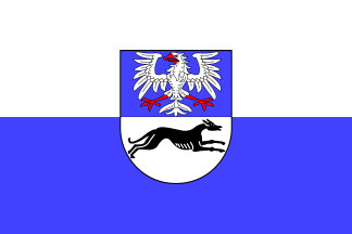
The Battenberg coat of arms is based on the connection of the Leininger graphs for Benedictine Murbach in Upper Alsace. It is split and shows up in blue silver eagle Leininger, down in the White bouncing black dog Murbach.
Sights and culture
The flash tubes at the driveway to the site is classified as a natural monument.
Stair tower of the castle Battenberg
Prot Martin Church
Romanesque door at the church with tympanum
Outstanding buildings are the castle Battenberg and the Gothic St. Martin's Church ( 1200 ), which also contains older, Romanesque components.
Economy and infrastructure
Traffic
It is 5 km from the nearest freeway in Green City (A 6 Saarbrücken -Mannheim) and the railway station in Kirchheim ( Palatine Northern Railway Neustadt on the Wine Route - Monsheim ) 4 km.
Population Development
Battenberg is a residential community. The number of inhabitants according to. Table developed; the values from 1871 to 1987 based on population censuses.
Personalities
- Karl Ludwig von Leiningen- Dabo - Emichsburg (1704-1747); Earl and ruler, resided temporarily in Battenberg, where he also died, and was buried in the church of St. Martin.

-_Hauptstra%2525C3%25259Fe-_Richtung_S%2525C3%2525BCdwest_(Altleiningen)_26.4.2008.jpg/220px-Battenberg_(Pfalz)-_Hauptstra%2525C3%25259Fe-_Richtung_S%2525C3%2525BCdwest_(Altleiningen)_26.4.2008.jpg)
_in_D%2525C3%25259CW.svg/240px-Battenberg_(Pfalz)_in_D%2525C3%25259CW.svg.png)


