Bayan Har Mountains
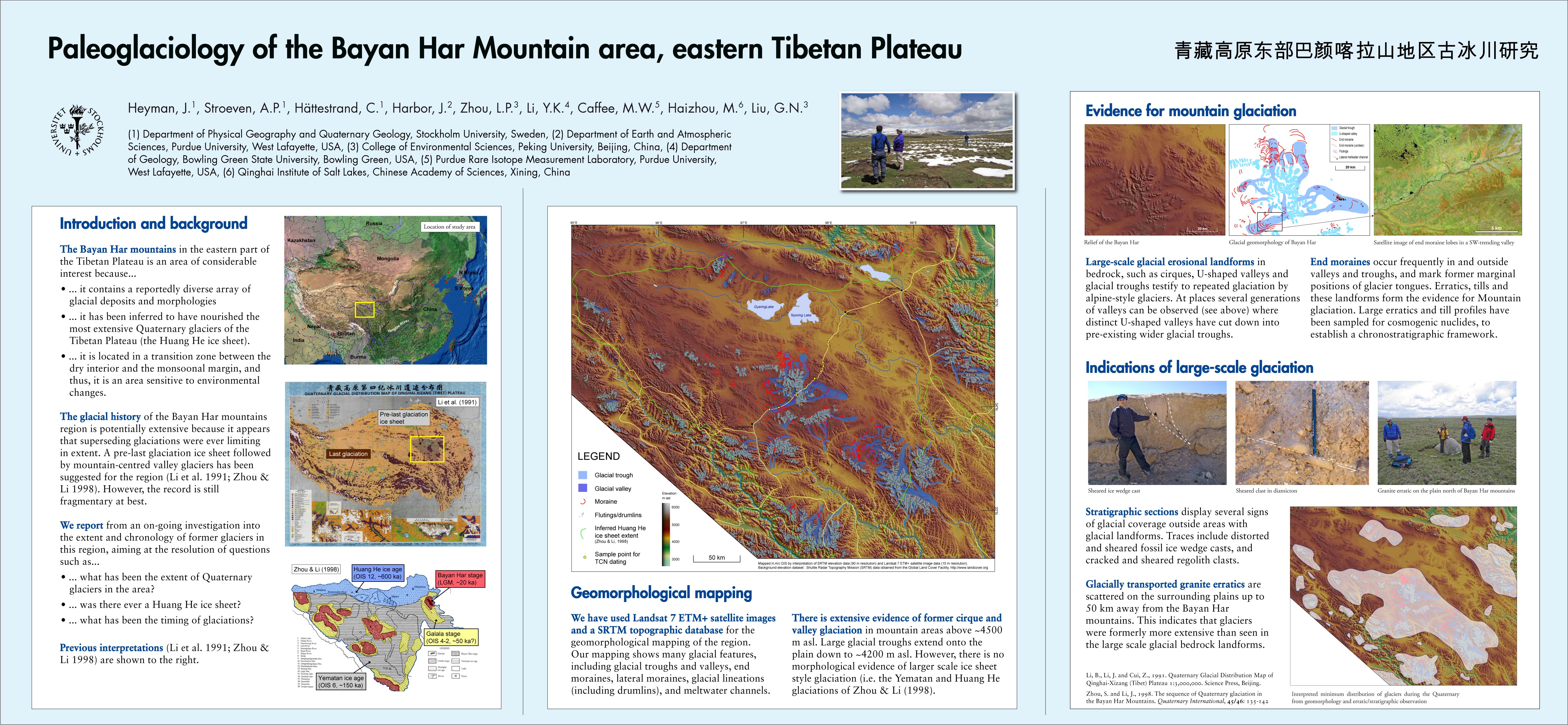
The Bayan Har Shan or Bayankara Ula ( Mongolian: Bayan Har Uul; Tib ba yan ha ri; Chinese巴颜喀拉山 脉; Pinyin: Bāyánkālā shānmài ), also Bayan Har Mountains or Bayankala Shan, is a mountain range in the highlands of Tibet far south of the Kunlun Shan and the two lakes Ngoring Tsho Tsho and Kyaring (south of Kokonor / Qinghai lake located ). Within the province of Qinghai he covers first 250 km long from north-west to south-east to north- west China's Sichuan province in it: In Qinghai, the mountain range located in the nomadic embossed circles Madoi ( Tibetan Autonomous Prefecture ( TAB) Golog ), Qumarleb and Chidu ( Autonomous Prefecture of Yushu Tibetan ) in Sichuan circle Sêrxü has ( in the Autonomous District Garzê the Tibetans ) share of it. From there, it extends to an additional 350 kilometers east again after Qinghai ( in the circles Madoi, Darlêg, Baima and Jigzhi in Golog Tibetan Autonomous Prefecture ) and back to Sichuan ( circle Ngawa in the same Autonomous County of Qiang and Tibetan ).
The surrounding it compared to an average of about 4500 above sea level. M. extending alpine steppes of Yarmothang act the rising to a maximum of 5266 m, mostly gently rolling hills rather like a larger hills as a great mountain range. Since the Bayankara Shan separates the basins of the Yellow River and the Yangtze each other, it is of great importance. The Yellow River originates in the marshy areas at the northwest foot of Bayankara Mountains, near the 5214 m high summit Yagra Dagzê. Although it climatically to be designated region are traces of glacial activity in the more than misanthropic, the entire mountain chain nowadays is unglaciated.


