Beaufort Island
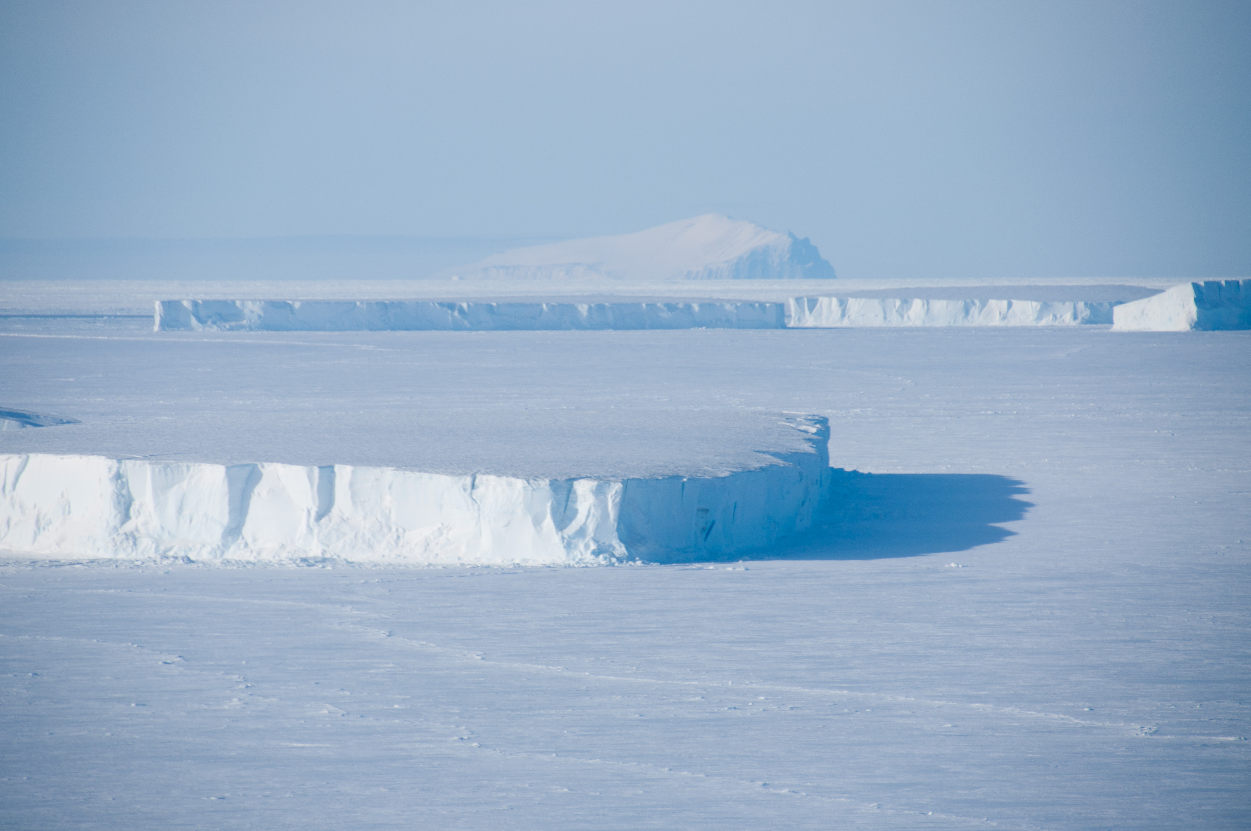
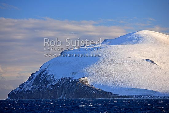
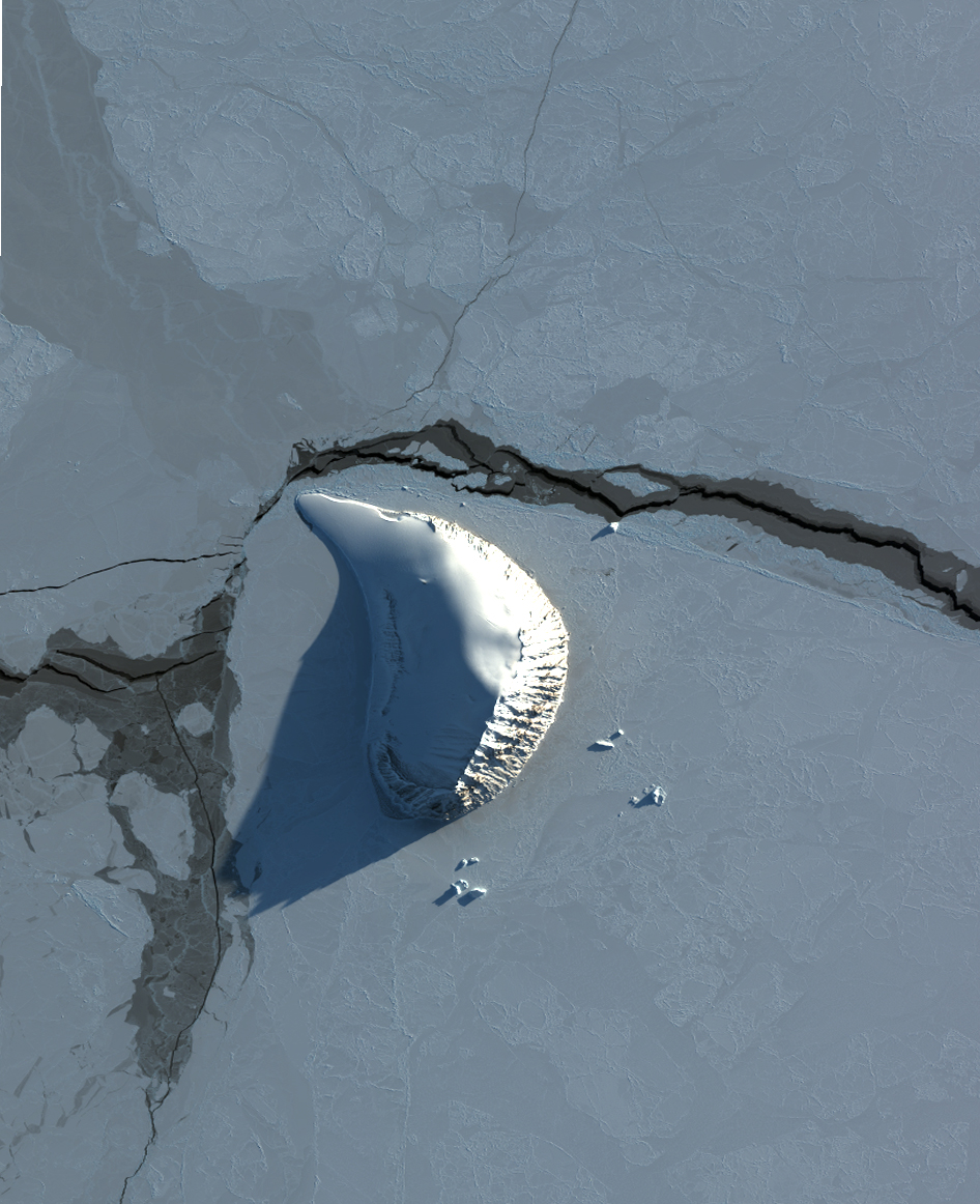
The Beaufort Island is a largely glaciated island, which lies about 20 kilometers north of the Ross Island and south of Franklin Island in Antarctica. The island is 7 km long and 3.2 km wide. Its highest point is the Paton - tip with 771 m.
The island was mapped in 1841 by James Clark Ross and named after Francis Beaufort, the Hydrographer of the Royal Navy.
On the Beaufort Island breeding skuas ( Skua ) and various species of penguins. It is therefore to be particularly protected area of Antarctica No. 105 ( Antarctic Specially Protected Area No. 105 ) and are not allowed to enter without permission.


