Beaulieu, Ardèche
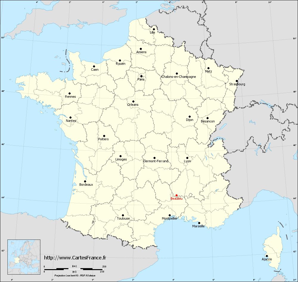
Beaulieu (as of 1 January 2011) is a commune in the French department Ardèche with 462 inhabitants. The inhabitants of the village are called Belliloquois and Belliloquoises.
Geography
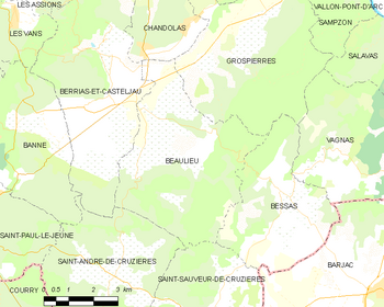
Beaulieu is located in the broad alluvial plain of the Chassezac, approximately 3 km from the river in the extreme south of the department. The mountain massif of Tanargue closes west of the village. Neighboring municipalities are Gros Pierre and Berriasian -et -Casteljau. Next largest city is Alès in 29 km to the southwest. The former railway station on the route set Vogüé - Robiac - Rochessadoule was converted into a restaurant.
History
Beaulieu was initially under the suzerainty of the Gros Pierre's family, then the village was handed over to the Joyeuses and towards the end of the Middle Ages to the Gascon family. But finds of Gallo-Roman pottery have been on a settlement of the area in ancient times out.
Attractions
A popular destination is the dolmen of Bois des Roches, an old passage grave. In addition, Beaulieu has a church from the 19th century, and the Chapel of Divols, which is also called Saint- Régis. At the upper reaches of the Serre are the ruins of the ancient monastery of Saint- Maurice.
The place is also a popular destination for nature lovers who want to visit the gorges of Chassezac and Tanargue. In addition, in the municipal area are the rocks of Carabasse and Peyrol de Beaulieu, a crater with the form of a fountain bowl and a diameter of 20 meters.
Beaulieu | Chandolas | Faugères | Grospierres | Joyeuse | Labeaume | Lablachère | PAYZAC | Planzolles | Ribes | Rosières | Sablières | Saint -Alban- Auriolles | Saint -André- Lachamp | Saint- Genest -de- Beauzon | Vernon
- Municipality in the department of Ardèche
- Place in Rhône -Alpes


