Behringen
51.02138888888910.51285Koordinaten: 51 ° 1 ' 17 "N, 10 ° 30' 36" E
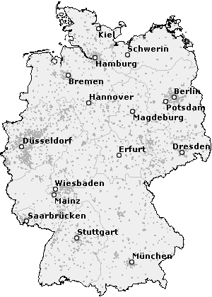
Location of Behringen Hörselberg -Hainich
Behringen is a district of the municipality Hörselberg -Hainich in Wartburg district in Thuringia. By the voluntary merger with the former town Hörselberg in December 2007 Behringen was the capital of the eponymous political community formed on 1 July 1999. At that included the previously independent localities Craula, Reichenbach, Tüngeda and Wolfsbehringen on Hainich National Park. Behringen 1609 inhabitants (as of September 2010).
History
The region around Behringen was old King Country. At the beginning of the 9th century Behringen was first mentioned in a list of the Archbishop of Lull († 786) of Mainz awarded for the Hersfeld Abbey of outdoor goods. In a deed of 18 May 874 Baringe is in addition to other 116 places in Thuringia mentioned as the pen Fulda tenth of charge. Archbishop Liubert to Mainz and the abbot of Fulda Sigehard made the law of the tithe survey for itself felt. The dispute over ruled King Louis the German ( 840-876 ) at the court of Ingelheim in favor of the Abbey of Fulda.
From 1170 to 1393 were then the masters of Behringen feudatories, later the gentlemen Gansauge of Cölleda of Greußen and Hörselgau. Then the lords of Treffurt took the advocacies true. They bequeathed in 1305 to the Lords of Wangenheim, which until 1945 were then owners in Behringen.
Since 1992 there has been a community partnership with the former town Sitter Forest, now part of the municipality Kleinblittersdorf in Saarland.
Community structure
The community Behringen was taken on July 1, 1950 through the merger of Great Places Behringen Oesterbehringen and Wolfsbehringen. On 1 January 1957 Wolfsbehringen left this community and was independent again. On 1 July 1999 merged with Behringen Craula, Reichenbach and Tüngeda and turn Wolfsbehringen to a new community, which was named Behringen. This went on in the community Hörselberg -Hainich on 1 December 2007.
To Behringen also included Hütscheroda and the waste places today Heßwinkel and Riede ⊙ 51.02899336694410.526211261667.
Attractions
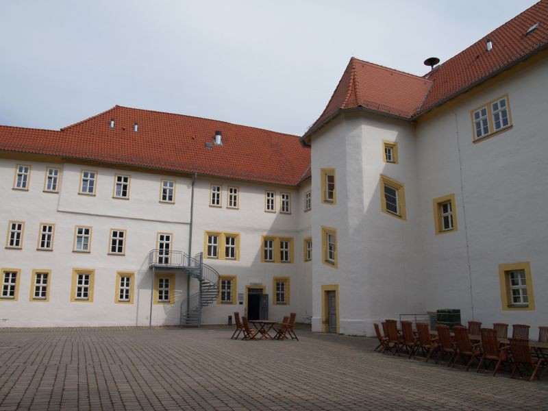
Sights are the Behringen castle and a sculpture trail. The white pine in the castle park is a landmark of the place Behringen.
The castle was up to the expropriation without compensation in 1945 in the possession of the family of Wangenheim, since 1928 it belonged Othmar Wangenheim. Until their flight in June 1945, before the arrival of the Red Army lived there Karl- August Duke of Saxe- Weimar -Eisenach and his wife Elisabeth of Saxe -Weimar- Eisenach.
The Reserve Grand Behringer wood is located north of the community. It has a total area of 110 hectares. The expulsion took place on 23 March 1961.
Church in Great Behringen, next to the castle
History museum in the former home inspector
Courthouse Square, southeast next to the castle
Traffic
By Behringen leads the federal highway 84, the road L 1029 branches off to Friedrichswerth and from the county road K 503 opens up the place Wolfsbehringen.
Behringen was until 1947 the endpoint Nessetalbahn. Opened on May 1, 1890 route was a single-track branch line, which diverged in Bufleben of the railway line Gotha - line field and led by Great Behringen about Friedrichswerth. After the Second World War, the route on 15 September 1947, decommissioned and subsequently degraded as reparations. 2011 was completed on the former railway line of Nessetalradweg.
Sports
Behringen home to several sports clubs, including the football club FSV 1968 Behringen eV and the handball club SV Town & Country Behringen / Sonneborn eV


