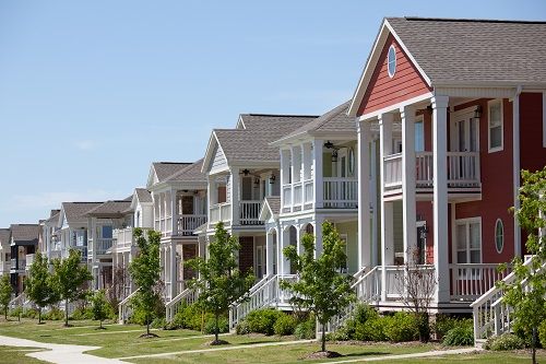
Brambleton, Virginia
Brambleton is an unincorporated community in Loudoun County, Virginia, located near the Dulles Toll Road (Route 267 ) is located. Brambleton is located 14 km south of Leesburg and 2 km north-west from Washington Dulles International Airport.
The area is still largely in the planning, the construction began in 2001. 2015 Brambleton should be extended ready. The name comes from an earlier plantation that was located nearby.
The Briar Woods High School is located in Brambleton.
Left
- Official Homepage of Brambleton
- Civic Forum
- Briar Woods High School
- Brambleton Town Center
- WordPress: General topics on Brambleton and environment
Swell
Free Cities: Hamilton | Hillsboro | Leesburg | Lovettsville | Middleburg | Purcellville | Round Hill
Regions: Airmont | Aldie | Arcola | Ashburn | Belmont | Bloomfield | Bluemont | Brambleton | Britain | Broadlands | Conklin | Dover | Dulles | Elvan | Eubanks | Gleedsville | Georges Mill | Gilberts Corner | Howardville | Lansdowne | Leith Town | Lenah | Lincoln | Loudoun Heights | Lucketts | Morrisonville | Mount Gilead | Neersville | Oak Grove | Oatlands | Paeonian Springs | Paxson | Philomont | Potomac Falls | Potomac Green | Randolph Corner | River Creek | Ryan | Saint Louis | Scattersville | Silcott Spring | South Riding | Sterling | Sterling Park | Stewartown | Stone Ridge | Stumptown | Sycolin | Taylor Town | Telegraph Spring | Trapp | Unison | virts Corner | Waterford | Watson | Waxpool | Wheatland | Willard | Willisville | Woodburn
38.982054 - 77.538603Koordinaten: 38 ° 59 'N, 77 ° 32 ' W
- Location in Virginia
- Loudoun County
- Location in North America


