Brigach
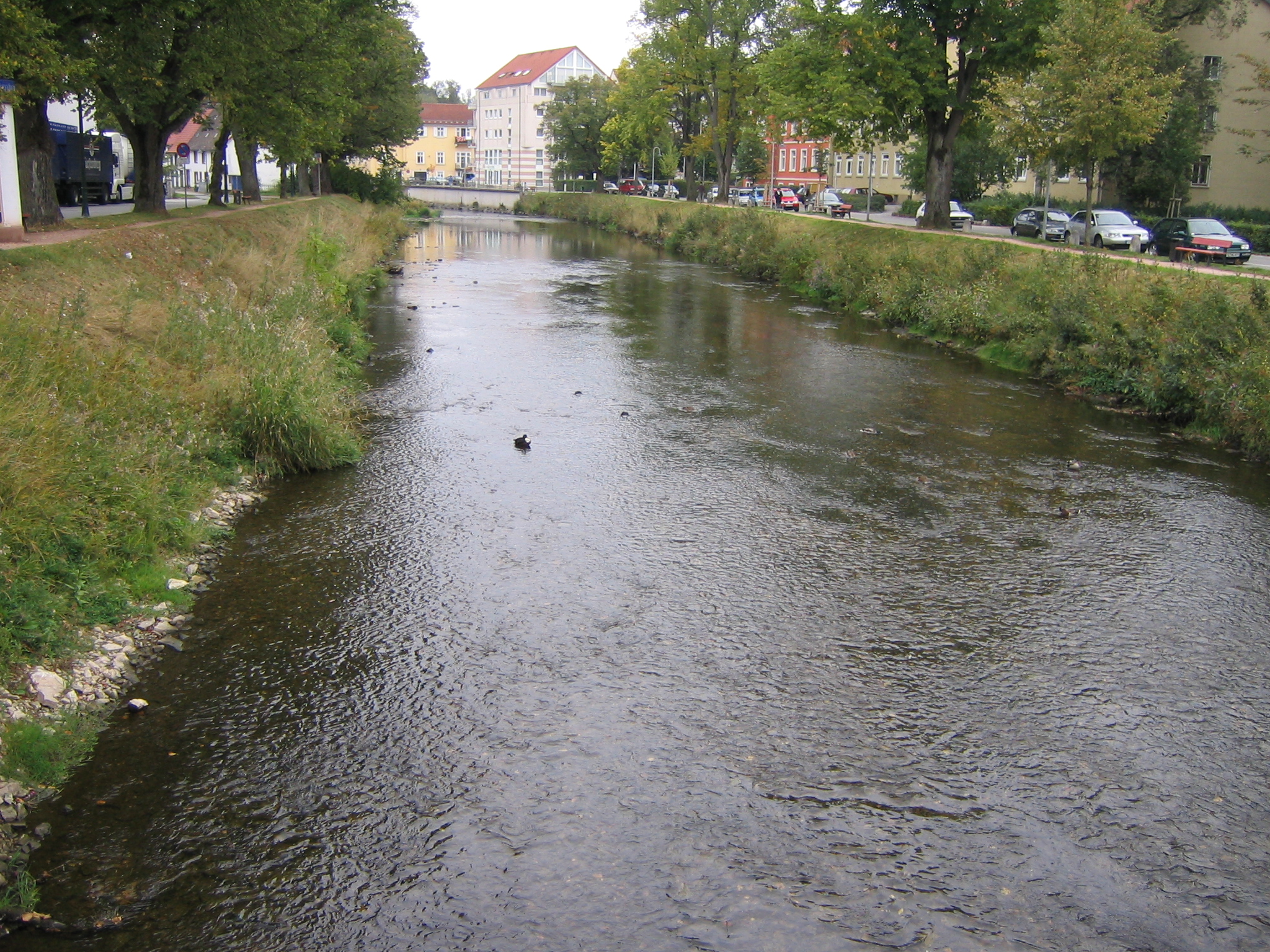
The Brigach in Donaueschingen
The Brigach is the 40 km long left the source of the Danube. It rises 940 meters above sea level. NN height in the Black Forest, about four km west- southwest of St. Georgen in the Black Forest in the district Brigach. Her name is of Celtic origin and means " bright, louder water ". An inscription discovered here has the goddess Abnoba.
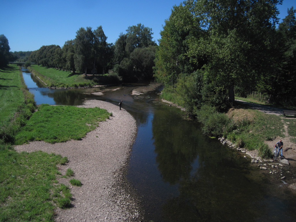
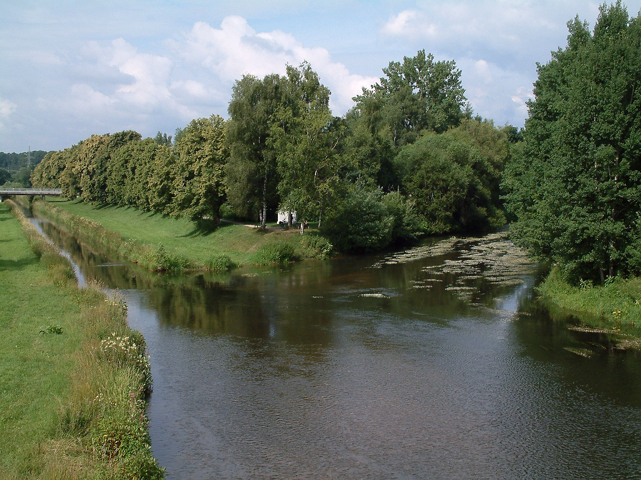
The source is taken in the basement of a farm and can be visited there. On her further way she meanders through the nature reserve Groppertal the community Unterkirnach and then passed Villingen and the community Brigachtal. In Donaueschingen it flows through the city and the castle park. This comes a few meters next to the Brigach on a karst spring which is considered as Source of the Danube for centuries. The overflow of the source ( Danube river ) is passed through the underground parking in the Brigach, the mouth is marked by a devoted by the former German Emperor Wilhelm II temple. A few hundred yards below the mouth of the Danube, the Bach Brigach unites with the coming of the Black Forest Breg and forms the origin of the Danube. Hence the saying stirred " Brigach and Breg the Danube feeder path ." The river has 195 km ² catchment area and a gradient of approximately 260 m.
The Brigach flows on the first half of its course in the Black Forest, then on the Baar plateau and exits nowhere the Schwarzwald- Baar-Kreis. From St. Georgen to Donaueschingen through the Black Forest Railway in the Valley.
Inflows
- Sommeraubach (left)
- Weidenbächle (left)
- Röhlinbach (right)
- Kirnach (right)
- Krebsgraben (left)
- Steppach (left)
- Goods Bach ( right)
- Talbach (left)
A more extensive list, which also includes small tributaries, is found in the list of tributaries of the Brigach and Breg.


_and_Breg_(left)_forming_the_Danube_at_Donaueschingen.jpg)


