Buttertubs-Pass
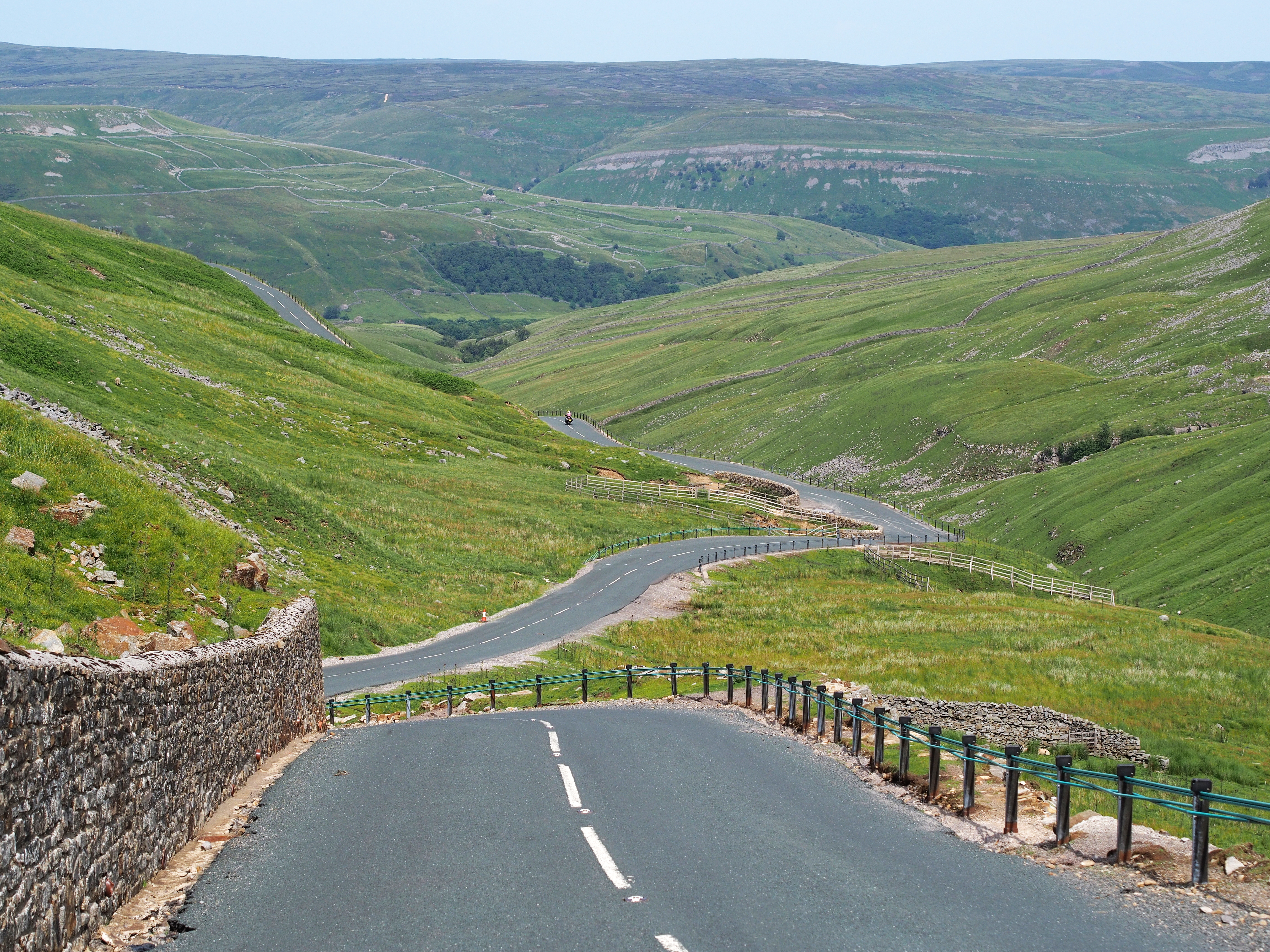
View from the summit to the north. Are the butter tubs on the left-hand curve in the right third of the picture.
K
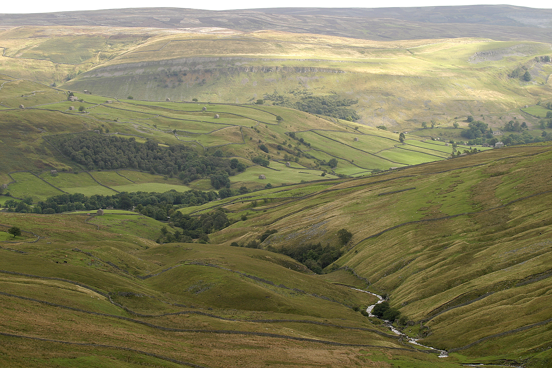
The Buttertubs Pass (English Buttertubs Pass translated, " churns Pass ") is a low mountain pass in the Yorkshire Dales in Northern England, the site connects Thwaite in upper Swaledale with the location of Simon Stone at Hawes in upper Wensleydale.
Course
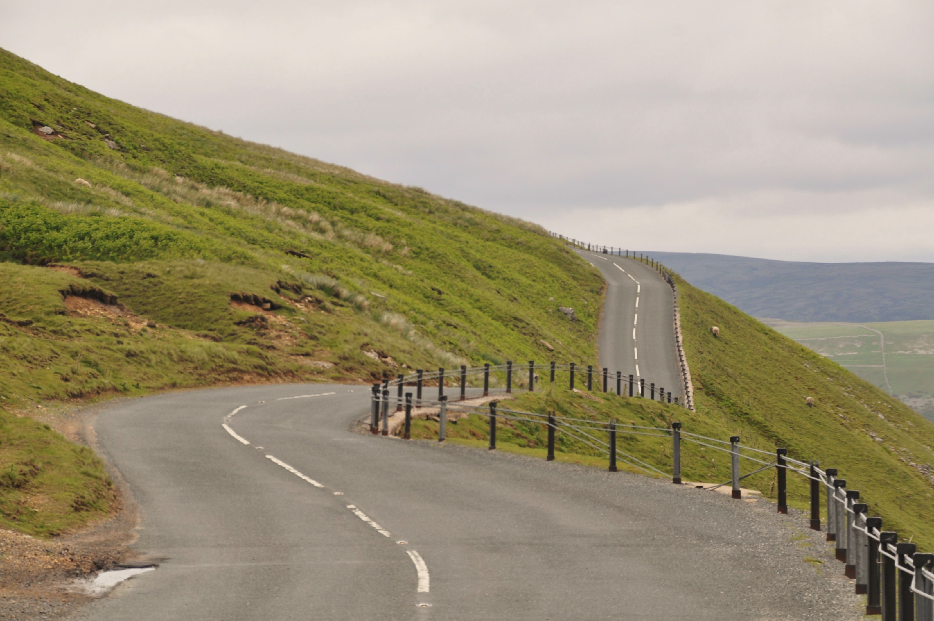
The pass road, the Cliff Gate Road, branches off in Swaledale east of Thwaite at an altitude of 303 m from the B6270 to the south and rises with slopes up to 25 percent in some tight corners to a height of 526 m. Then she falls down again from Wensleydale, flows through the village Simon Stone and ends at 254 m altitude about 1 km north of Hawes in a road that runs east -west through the northern Wensleydale. It happened in its course three cattle grid.
Butter tubs
His name has the pass north-east of a geological feature, the so-called butter tubs in 480 m height of the pass. Here are several adjacent fields of up to 24 meters deep gulf carts that have arisen here through natural karst processes.
The pass road runs between these fields through. The gap fields are fenced for safety reasons, but walked on foot.
The name " churns " goes back to the tradition that farmers kept from the Swaledale on the way back from the market in Hawes their unsold butter in it ( cooled by shade and water flow ) clefts in order not down the steep path and the next market day again up to bear.
Events
The pass road is part of the Tour de France 2014 North Yorkshire as one of the King of the Mountains climbs.


