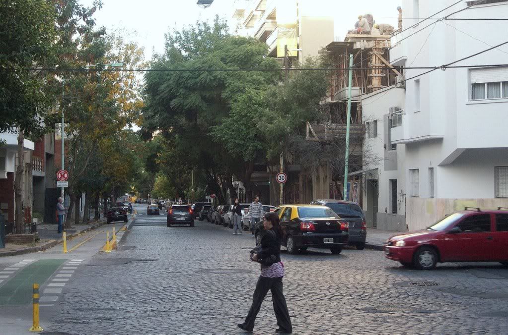
Caballito (Buenos Aires)
Caballito is a neighborhood in the Argentine capital Buenos Aires. It is 6.8 km ² and has 170,309 inhabitants (as of 2001). The population density is thus 25,045 inhabitants per km ². Therefore the Caballito is one of the more densely populated districts ( average in Buenos Aires: circa 15.000/km ²).
Location and name origin
Caballito is located in the geographic center of Buenos Aires and is bounded by the following streets: Rio de Janeiro, Avenida Rivadavia, Avenida La Plata, Avenida Directorio, Curapaligüe, Avenida Donato Alvarez, Avenida Juan B. Justo, San Martin Avenue and Avenida Angel Gallardo.
The name of the district is derived from a weather vane on the roof of a pulperia ( Gaucho bar ) standing ( " Caballito " = small horse ).
Attractions
Other attractions include the Caballitos "English County " with its fin-de- siècle architecture, the Ferro - Carril Oeste Football Club, the tram museum of Buenos Aires, the old Mercado del Progreso and the church of Caacupé, that belongs to an Irish nuns Medal and was named after the " Virgin of Caacupé ".
There are also two parks in the district: the Parque Rivadavia on Avenida Rivadavia and the Parque Centenario. The latter was opened in 1910, on the 100th anniversary of the Proclamation of 1810, which led to the independence of Argentina later. It was designed by Carlos Thays and, with its 20 hectares one of the largest in the city. In the park you will also find the Natural Science Museum ( " Museo Argentino de Ciencias Naturales Bernardino Rivadavia " ), the Marie Curie Hospital and an observatory. The park was redesigned in 2006, in the wake of this, a swan pond was created as a replacement for two small ponds at the same location.


.jpg)


