Cache Creek (British Columbia)
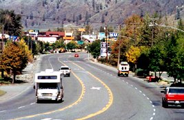
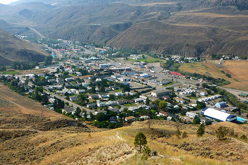
Cache Creek is a village in the southern part of the Canadian province of British Columbia. Cache Creek has its importance as transport hubs between Highways 1 and 97 and end point of the Highway 99 Cache Creek was founded in 1967.
Geography
Cache Creek is located in the southern part of British Columbia, on the Thompson Plateau. Cache Creek flows through the Bonaparte River, south of the community of the Fraser River. In the area of the municipality numerous vegetable fossils have been found from the Eocene, including Dillhoffia and Trochodendron drachuckii ..
History
Cache Creek had historical significance as a stopover on the old Cariboo Road. This results in a small village, which was then founded in 1967 as a community developed.
Demography
The census in 2011 showed a population of 1,040 inhabitants for the community. The population has thereby increased since the census of 2006 at 0.3 %, while the population in British Columbia grew by 7.0 % at the same time.
Traffic
The traffic has traditionally been an important significance for Cache Creek. In Cache Creek branches off from Highway 1, the Trans-Canada Highway, the Cariboo Road to the north, the portion of Highway 97. The Cariboo Road leads to 100 Mile House. Moreover, meets 11 km north from the center of Highway 99 on the Cariboo Road, coming from Vancouver and Whistler ago.
On Highway 1, which, coming with a common route with Highway 97 from the south, Highway 97C meets about 5 km south of the town center. Highway 97C, called the Okanagan Connector, opening up the area between the Greater Kelowna and Cache Creek.
From the junction of Highway 97, the Trans-Canada Highway runs east and follows the course of the Fraser River towards Kamloops.


