Canale Monterano
Canale Monterano is a municipality in the province of Rome in the Italian region Latium, located about 4144 inhabitants ( 31 December 2012). It is located 57 km northwest of Rome and 10 km north- west of Bracciano.
Geography
Canale Monterano lies in the volcanic hill country with its deep valleys, west of Lake Bracciano between the Sabatini Mountains and the Tolfabergen. The municipality consists of the villages Carraiola, Casenove, Castagno, Montevirginio and Stigliano.
The neighboring municipalities are Manziana, Oriolo Romano (VT), and Tolfa Vejano (VT).
Traffic
Canale is located on the provincial road SP 3A Braccianese Claudia, who leads the SS 493 to Rome. The nearest train station is in Manziana at the regional railway line Rome - Viterbo FR3.
History
Already the Etruscans founded at today Canale a fixed location on a hill west of the modern town. On the plateau of Palombara and on the Colle della Bandita its necropolis are preserved. With the Roman conquest, the city became depopulated slowly. In contrast, the Etruscan village of the district experienced Stigliano, because its thermal waters, a heyday. It got the name Aquae Apollinares. The territory was crossed by the Via Clodia. On their forum Clodii was founded as a way station, which developed into a major place and also became a bishopric. He still lives continued as titular Foroclodiensis. Currently wearing Angel Gelmi Bertocchi from Bolivia this item.
In the migration period the inhabitants Forum Clodii abandoned in the 6th century and resettled the easier to defend hills of the Etruscan town. The bishop's seat was moved around the year 1000 after Sutri. The place belonged to the Orsini Monterano but the extensions Bracciano near to its center. West of Monterano they founded a settlement, because of the channel-shaped valley by lies, was named Canale. In the 17th century Monterano Canale and came into possession of the Altieri family, extensions the Monterano. However, since Monterano was increasingly threatened by malaria, the population center shifted slowly to Canale. After being destroyed by French troops in 1799 Monterano was finally abandoned. 1871 the area came to the Kingdom of Italy and was named Canale Monterano an independent village.
Demographics
Source: ISTAT
Policy
Angelo Stefani (civic list Progetto by Canale e Montevirginio ) was elected in May 2011 to the mayor. He replaced Marcello Piccioni (2006 - 2011) from, who did not run.
Attractions
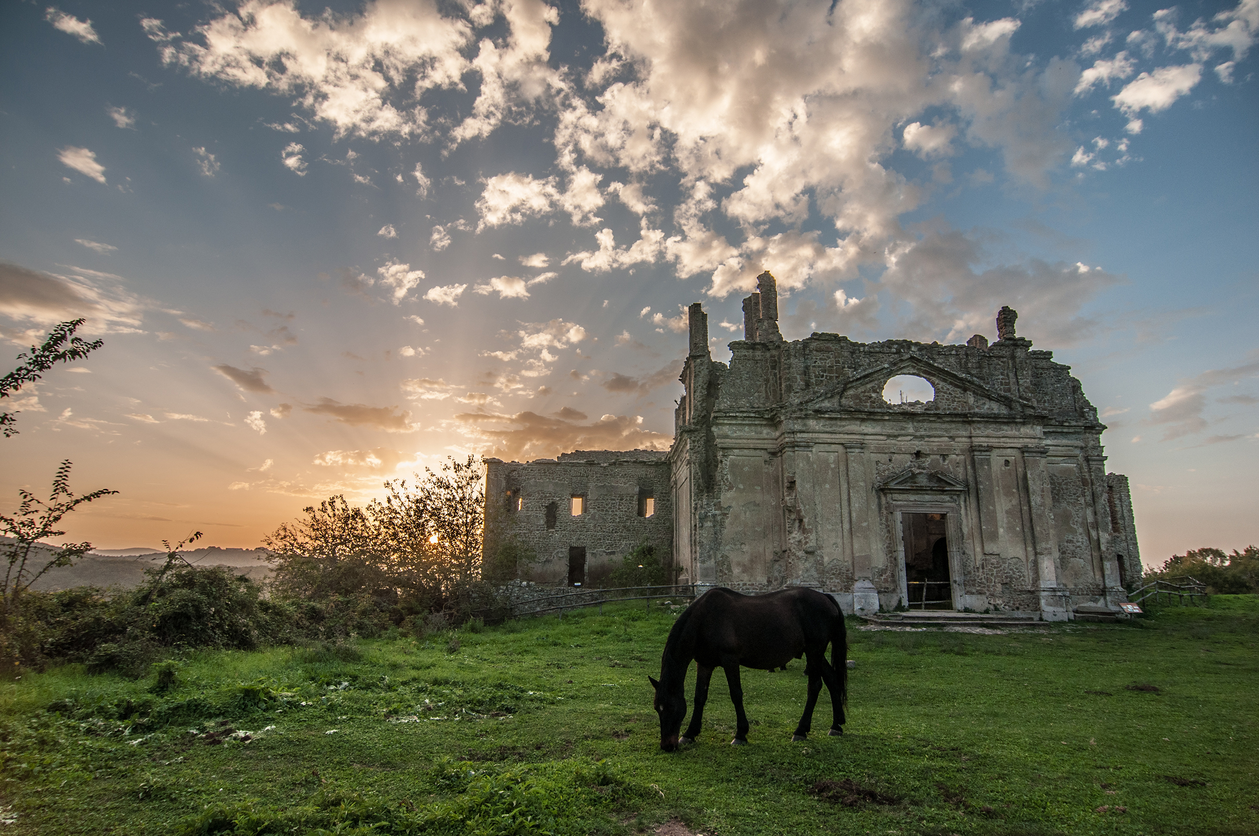
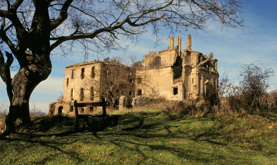
- West of Canal Nature Reserve Monterano lie the remains of the medieval town of Monterano with the impressive ruins of the designed by Gian Lorenzo Bernini St. Bonaventure Church and the castle of the Orsini. In the vicinity there is also an aqueduct, which was to supply, especially of the castle, built.
- East of Canale is a Carmelite monastery built in the 17th century.
- In the district Montevirginio the Palace of Altieri is obtained.
- The thermal springs of Stigliano are known and used since the time of the Etruscans. Today there is a spa hotel in the 18th century. It is surrounded by a botanical garden. Nearby are the ruins of the ancient Apollo temple.


.jpg)