Cape Juby
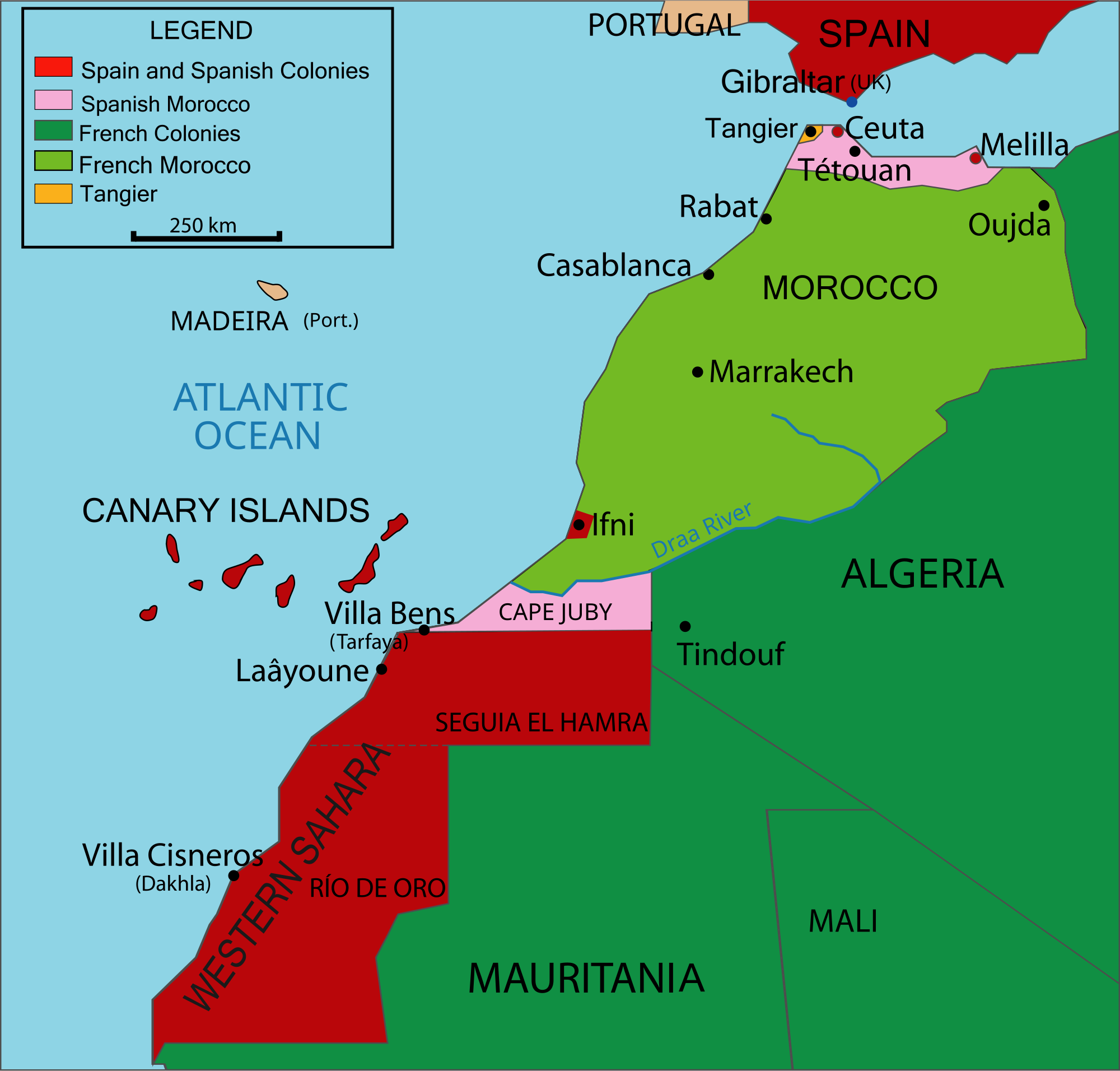
Cape Juby (Spanish Cabo Juby ) is a cape on the southern coast of Morocco, not far from the border with Western Sahara, east of the Canary Islands. From 1916 to 1958, the Cape and its hinterland was the southern part of the Protectorate of Spanish Morocco. After the main town of Tarfaya it was also called Tarfaya Strip.
History
In 1879, the British North West Africa Company established a trading post which they called Port Victoria. A little later, in 1895 this was sold to the Sultan of Morocco.
1912 Spain was negotiating with France, which represented the affairs of Morocco to concessions in southern Morocco. On July 29, 1916, the chapter was eventually occupied by Ben Francisco and became part of the Spanish Sahara.
In 1926, Antoine de Saint- Exupéry head of the desert airfield Cape Juby, a vertex of Aéropostale, which at that time built up a airmail line between Toulouse, Dakar and South America.
The Protectorate covered an area of 32,900 square kilometers and had a population of 9836th The main town was Villa Bens, today Tarfaya.
With independence in 1956 Morocco demanded the return of the controlled areas through Spain. After some resistance and struggles in 1957 the Cape Juby in 1958 was ceded to Morocco.
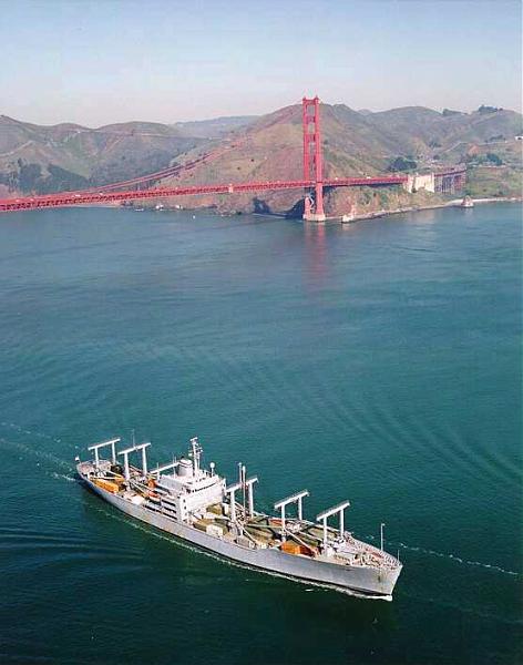
After the cape a cargo ship in the U.S. Navy was designated as SS Cape Juby.
Stamps
Spain issued a large number of stamps with overprints for Cape Juby. The first of 1916 were postage with the inscription CABO JUBI on Brands of Río de Oro. Later the imprints " Cabo Juby " were in various shapes on Spanish brands from 1919 to 1929, then on Brands of Spanish Morocco. Issues with printing on this in 1944, 1946 and 1948 published in the years 1934, 1935, 1937, 1938, 1939, 1940, 1942, .


