Cape York Peninsula
Geographical location
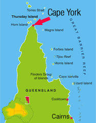
The Cape York Peninsula ( Cape York Peninsula english ) is a peninsula in the tropical north of the Australian state of Queensland. The peninsula has an area of approximately 137,000 km2 and is inhabited by about 18,000 people. In the South it is about 430 kilometers wide and extends 660 km to the north. Their northern tip, Cape York, is the northernmost point of mainland Australia.
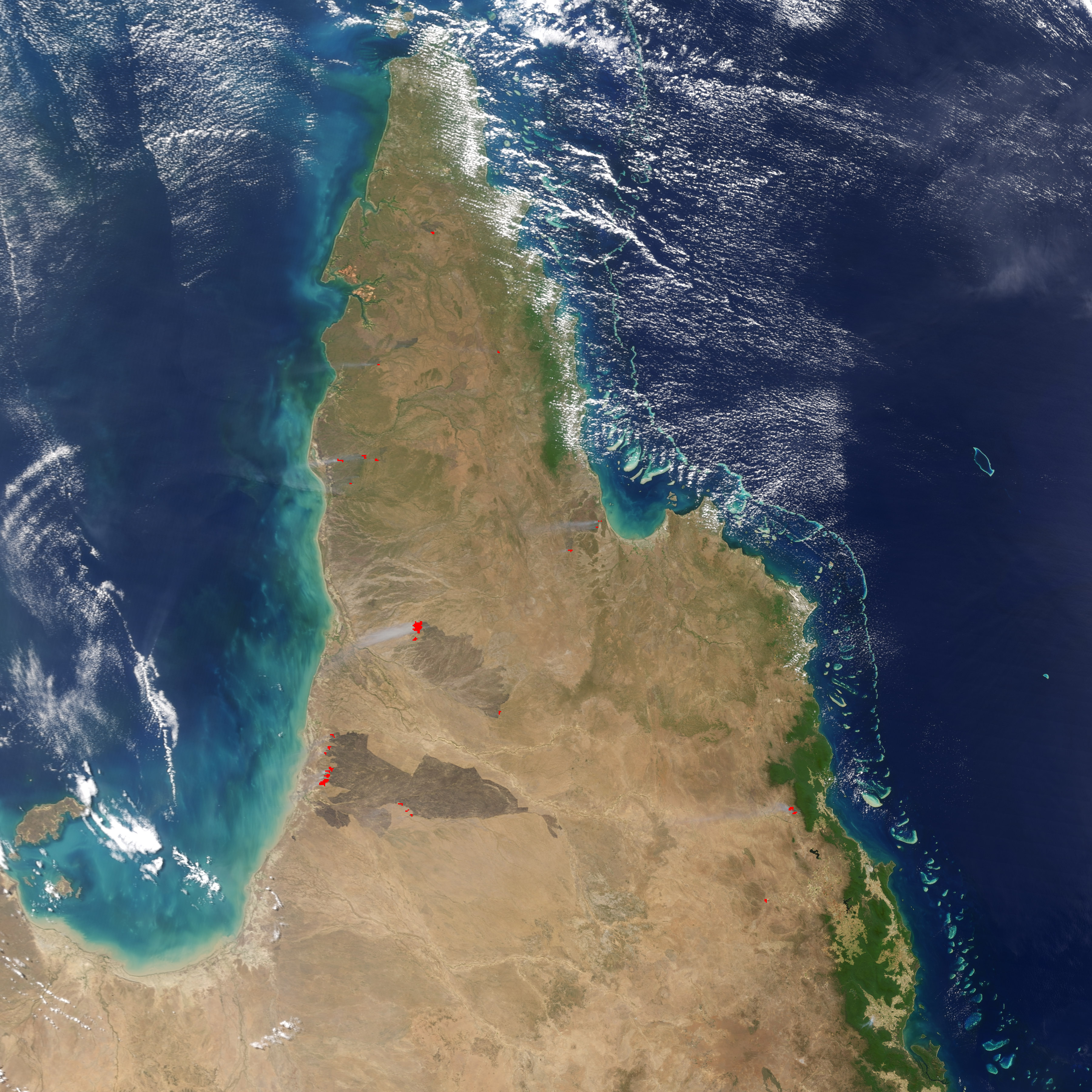
The Torres Strait, which is only 140 km wide at this point, separates the peninsula of New Guinea. Your west coast bordering the Gulf of Carpentaria and the east coast to the Pacific. Geologically it forms a strongly eroded level with only minor elevations in the east. A rain forest, which is remarkable for its fauna extends on the east coast: Here you will find a number of animal species that are usually found only in New Guinea (eg, tree kangaroos ). The soils are extremely infertile, even for Australian conditions, what is the reason for which only sparse settlement.
The climate in the peninsula of a rainy season (November to April ) and a dry season ( May to October) is marked. The annual rainfall is high and is up to 2000 mm on the east coast.
The main economic activities are tourism, mining ( bauxite ), fisheries and livestock.
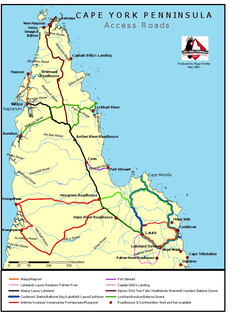
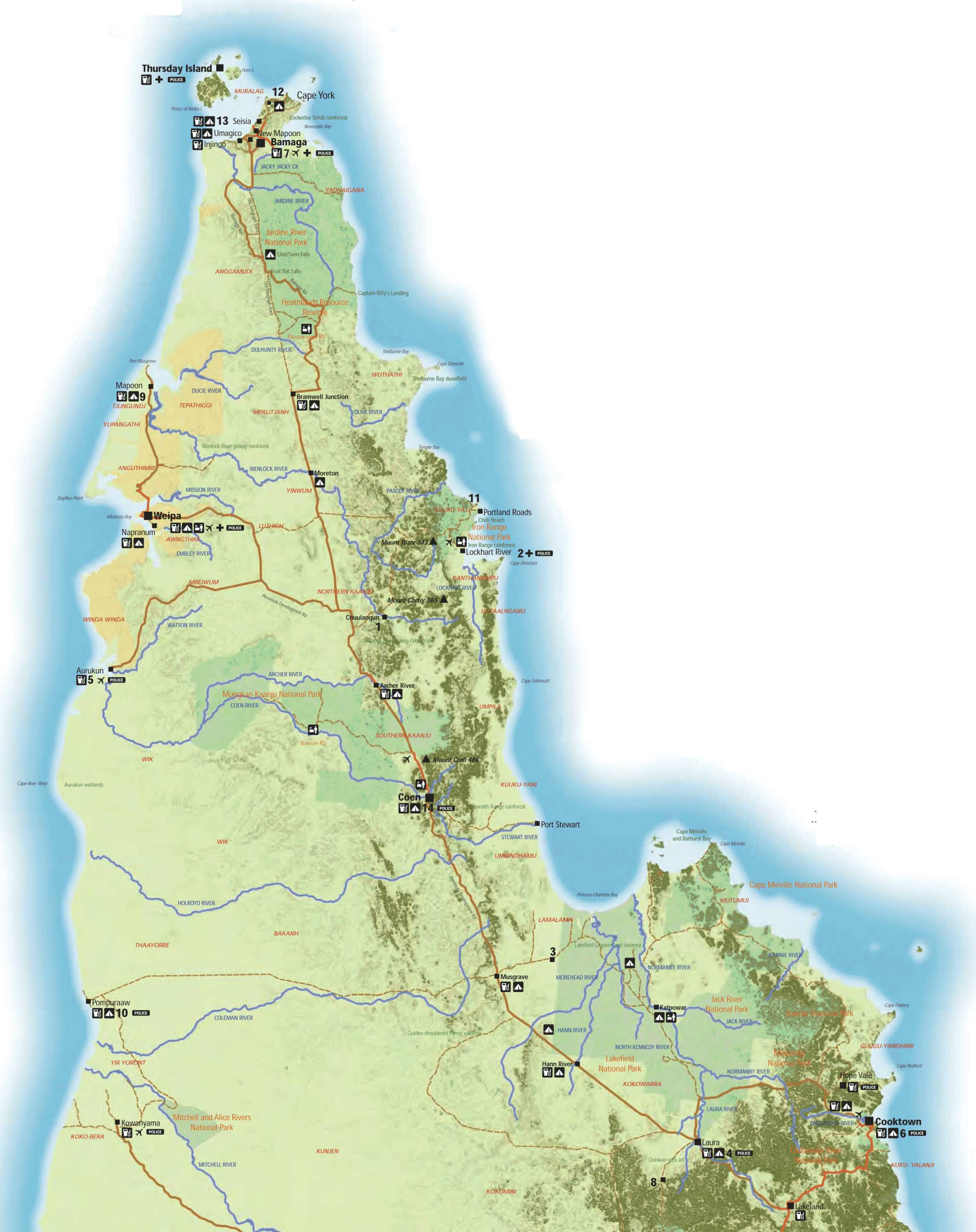
The largest city is Cooktown, in addition to some settlements of the whites there are also primarily of Torres Strait Islanders and Aborigines populated areas on the peninsula - for example, the Torres Shire on the northern tip of the peninsula.
- Peninsula (Australia)
- Peninsula (Australia and Oceania)
- Peninsula (Pacific ocean )
- Geography (Queensland )
- Torres Strait


