Caxata
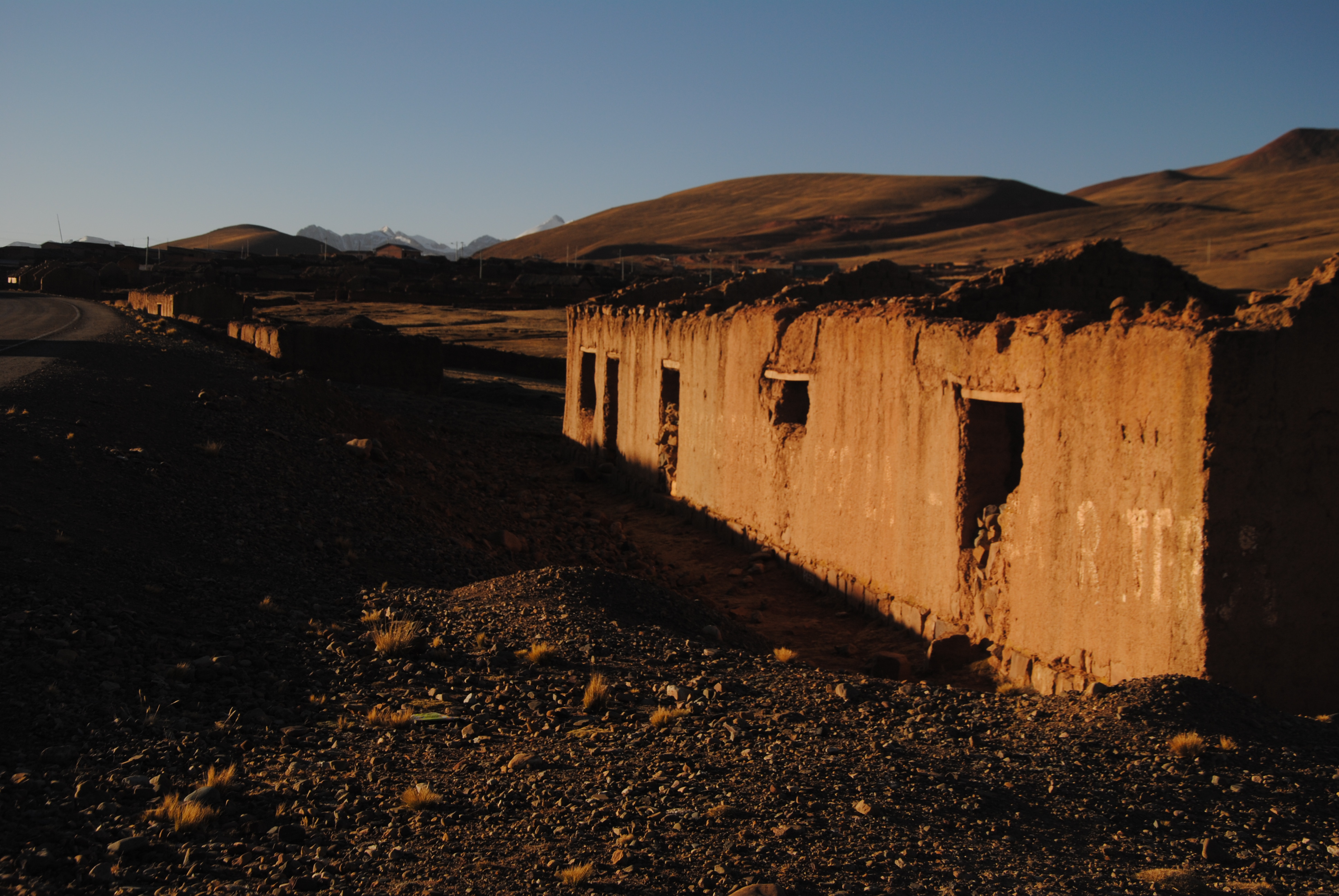
Caxata (also: Cacsata ) is a village in the department of La Paz in the South American Andes State of Bolivia.
Location in near space
Caxata is the central place of the Canton Caxata district ( bolivian: Municipio) Yaco in the province Loayza. The village is located in the Serrania de Caxata Sicasica at an altitude of 4408 m on one of the tributaries of the Río Yaco which opens later in the Río Luribay. In Caxata takes place degradation of lead, zinc and copper ores, also find here sites of Mottramite deposits.
Geography
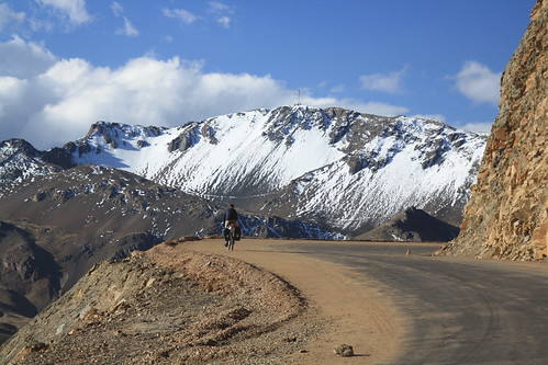
Caxata lies between the Bolivian Altiplano in the west and the Amazon lowlands to the east. The region exhibits a typical day time environment, in which the mean temperature difference between day and night is greater than the temperature difference between seasons.
The mean average temperature of the region is just under 7 ° C and varies between 3 ° C in June / July and 9 ° C in November / December (see climate chart Caxata ). The annual rainfall is 500 mm, with a pronounced dry season from May to July and monthly rainfall of over 100 mm in January and February.
Infrastructure
Caxata situated 197 road kilometers southeast of La Paz, the capital of the department of the same name.
From La Paz from the paved highway Ruta Ruta 2 1 leads west to El Alto, from there 129 km south across Sica Sica after Konani, 20 kilometers from Oruro. From there a dirt road in a northeasterly direction towards Quime and happens after 55 miles on half way there, the village Caxata.
Population
The population of the town has declined in the decade between the last two censuses by about a third:
Due to the historically evolved population structures, the Aymara population is predominant in Caxata, in the municipality of Yaco 97.5 % of the population speak the Aymara language.


