Drin (river)
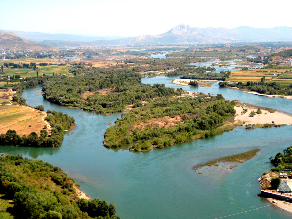
Mouth of the Great Drin (left) in the Buna in Shkodra
The Drin ( Albanian: Drini, Serbian and Macedonian Drim Дрим; Greek Drinos Δρινος; Latin Drilon ) is a river in south-west of the Balkan Peninsula with a length of 285 kilometers. The average amount of water is 352 m³ / s The river drains an area of 11,756 km ², the large parts of northern and eastern Albania, Macedonia areas in the west and the western part of Kosovo covers. The Drin arises in the northeastern city Albanian Kukes from the Black and the White Drin, who come from Macedonia and from Kosovo.
Repeats the Drin is dammed for energy.
Black Drin
The Black Drin ( Alb. Drini i Zi; macedonian Crni Drim Црни Дрим ) springs from Lake Ohrid. On discharge at 695 m is the südwestmazedonische small town of Struga. The river flows 149 kilometers northward through the mountainous landscape Westmazedoniens and northeastern Albania.
In Macedonia, the river two reservoirs, the Globočicasee and Debarsee happens immediately at Debar. Shortly after the great dam of Debarsees it reaches the border with Albania, he makes for a few kilometers. Then he steps all over on Albanian territory. The further course of the river in Albania runs north through heavily mountainous, very lonely and rough landscapes.
White Drin
The White Drin ( Alb. Drini i Bardhë; Serbian Cyrillic Beli Drim Бели Дрим ) originates north of Peć ( Peja Alb. ) near the village Radafc / Rahovac in the western landscape of Kosovo, Metohija, from a strong mountain spring. The first 25 kilometers, it runs as partially strongly meandering river level in an easterly direction before turning south just before the town of Klina. Six miles below the village flows a from the right PECKA Bistrica ( Alb. Lumbardhi i Pejës ). The White Drin drains the Dukagjin level and Metohija ( Alb. Rrafsh i Dukagjini; serb. Metohija Метохија ). Its course leads from Klina primarily to the south, where he initially flows in a narrow valley through the western foothills of the Crnoljeva Mountains ( Alb. Carraleva ). After re-entry into the plane of the Drin from right next Dečanska Bistrica ( Alb. Lumbardhi i Deçanit ) and a few kilometers continues to Erenik.
In the last 20 miles of its course in Kosovo - from about the place Krajk - flows through the White Drin partially narrow gorges and is already subject to the influence of Fierza Dam, which is located in neighboring Albania. Here he takes from left his last major tributary, the Prizrenska Bistrica ( Alb. Lumbardhi i Prizrenit ) on.
With about 113 miles on Kosovan territory of which he is the longest river in the country. West of the city of Prizren, it crosses, already jammed to Fierza Lake, the border with Albania, where he joins after 16 kilometers to the Black Drin.
United Drin
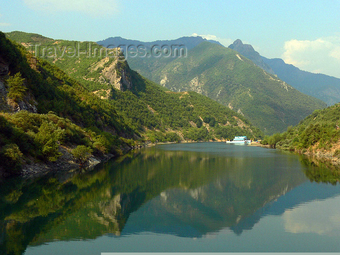
In the northeastern city Albanian Kukes, the light coming from the northeast whiteness and coming from the south Black Drin unite. The river is almost invariably jammed in the northern Albanian Alps, which are westward crosses. Both headwaters feed the Fierza Reservoir ( Alb. Liqeni i Fierzës ), which crosses the border to Kosovo impounds the White Drin, is approximately 72.5 square kilometers and up to 128 meters deep. The following Koman Reservoir ( Alb. Liqeni Komanit i ) is used in the remote mountain region also as a communication. A ferry runs every day on the lake. The Koman Lake is approximately 12 square kilometers and has a maximum depth of 96 meters. The dam of Vau Deja that the Vau Deja Reservoir forms ( Alb. Liqeni i Vaut të Dejës ), located at the western edge of the mountains. The last reservoir has an area of 24.7 square kilometers and is up to 52 meters deep.
The Fierza reservoir is also fed by the tributary Valbona, the Koman dam of the Shala.
Underflows
Shortly after the dam separates the Drin in the coastal plain of northern Albania ( bifurcation ). Subsidence or flooding in the years 1858/59 meant that the majority of the water masses was looking for a new way and it will likely coincide with the course in ancient times to some extent.
A very small branch of the river ( Alb. Drini i Lezhës ), which today is mainly fed by the inflow Gjader, runs to the south. This used to be the only run. A little west of the city of Lezha, where he will pave a path between two hills, it reaches the Adriatic Sea in the Drin golf. In the flat coastal plain, he has formed a large lagoon system. The main lagoon north of drins called Kuna, the one south Vain.
The second, larger branch of the river ( hence also Great Drin, alb. Drini i Madh called ) runs westward. He passes through the city of Shkodra south and joins near the castle Rozafa with Buna ( Bojana serb. Бојана ), which has just left the Shkodrasee. The Buna, which forms the border between Albania and Montenegro, while more than half of the route, reached after about 32 kilometers of the Adriatic Sea. The mouth is located approximately 20 kilometers northwest of the mouth of the southern Drin arm also on the Drin golf.
On 15 June 2012, the Ashta hydropower plant was located at united Drin, just underneath the Vau Deja Reservoir opened. Construction began in 2009. The Laufwasserkraftwerk annually produces 48.2 MW of electricity, thus supplying 100,000 households.


