Jos Plateau
P1dep2p5
Bauchiplateau in Central Nigeria
F
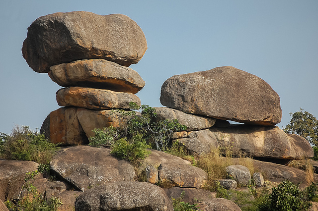
The Bauchiplateau [ bautʃiplato ː ], also called Josplateau, is up to 2,010 m high grass highlands in Nigeria. According to him, the state is named Plateau.
Geography
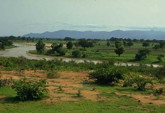
The Bauchiplateau covers an area of 7770 km ² and is located in the center at an altitude of 1,280 m. It is the only area in Nigeria, is the climate in the temperate zone. It forms a watershed between the Niger basin and the Chad Basin. In the north of the plateau is the Maladumba Lake, which is part of a wetland of international importance under the Ramsar Convention.
Geologically shaped the Bauchiplateau granitic, with some volcanic peaks and significant tin deposits (see also economics). In this area arise, among others, the important rivers Bunga, Kaduna, Gongola and Jama'are, one of the headwaters of the Komadugu Yobe.
Economy
Economic importance receives Bauchiplateau particular by the significant presence of tin in the region. In agriculture, peanuts and cotton are mainly produced and used in animal husbandry. Economic center and largest agglomeration of the plateau is the city situated in the north of Jos.
History
In the 19th century the Bauchiplateau was an important refuge for the mainly Christian population of northern Nigeria, who fled the Fulani and their leader Usman dan Fodio. Usman began in 1804 a Jihad Islamization of northern Nigeria and established the Sokoto Caliphate.
After colonization by the British, the region was due to its mild climate, the most popular destination of the resident foreigners in Nigeria. Lately it occurs most Bauchiplateau again to violent clashes between Christians and Muslims, which has led to a sharp decline in tourism.
- Mountains in Africa
- Geography (Nigeria )


