Kharimkotan
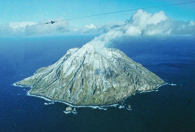
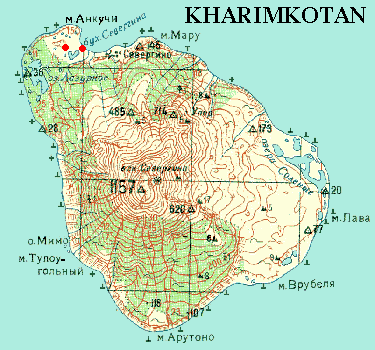
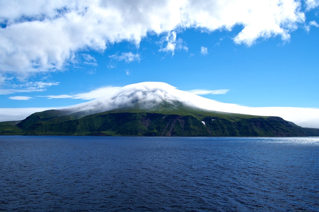
Charimkotan (Russian Харимкотан, Japanese春 牟 古 丹 岛, Harimukotan -tō; Ainu for the land of the lily ) is the name of an entity belonging to Russia volcanic island in the group of the Kuril Islands, which is located 13 kilometers southwest of Onekotan and northeast of Ekarma and Schiaschkotan. Of the latter two islands separated by the Krenizyn Street Charimkotan has a diameter of eight to thirteen kilometers, an area of 68 km ².
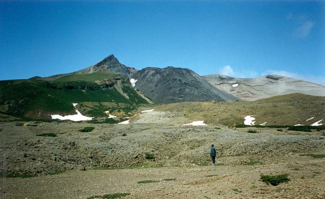
The island was formed by and consists of a stratovolcano with a maximum height of 1157 meters. The summit is formed of two craters in a horseshoe shape, which caused the collapse of the upper slopes. Two peninsulas in the east and north-west are the deposits of this dialed debris avalanches. The recent collapse of the volcano was in 1933 when an eruption with the strength of five on the Vulkanexplosivitätsindex ( VEI ). Here, the central cone Sewergin was largely destroyed. The debris avalanche of 1933 triggered a up to nine meters high tsunami, which killed two people on the islands and Onekotan Paramushir. With the eruption of 8 January until 14 April 1933, last formed a lava dome, which lies in the newly formed crater.
The Sewergin got its name from Adam Johann von Krusenstern, during his voyage around the world named 1805 the part of the volcanic massif after the mineralogist, chemist and academician Vasily Mikhailovich Sewergin ( 1765-1826 ).
At the edge of the volcanic massif to find pumice stone and sulfur on the west coast a few pebble beaches. 1996-2000 were made first explorations of the flora Charimkotans by the International Kuril Iceland Project, in which 46 plant families, 121 genera, 182 species and subspecies 4 were recorded. With each 17 finds the daisy family, grasses and sour grass plants were the most represented.
Credentials
- Charimkotan in the Global Volcanism Program of the Smithsonian Institution (English)
- Botanical Research at Charikotan


