Korneuburg District
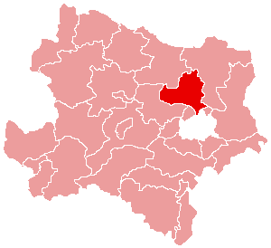
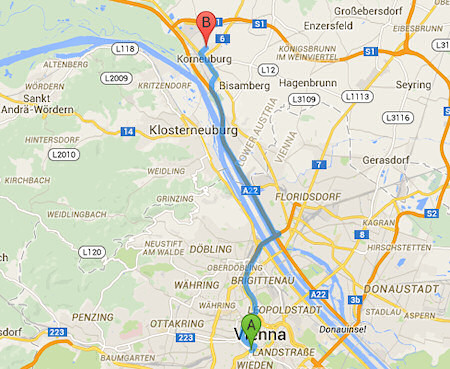
The district Korneuburg located in Lower Austria just north of Vienna.
Geography
The district is located in Lower Austria's wine district. Determining landscape units are the Danube and its floodplain, the washing mountain zone with the Michel Berg, the Bisamberg as part of the Vienna gate.
Adjacent counties are
- In the east: the District Mistelbach
- In the South: the district of Wien-Umgebung and the District of Vienna Floridsdorf
- In the southwest: the district of Tulln
- In the north- west: the District Hollabrunn
The most important of the abbreviations used are:
- M = center of the municipality
- Stt = district
- R = Rotte
- W = hamlet
- D = village
- ZH = Scattered houses
- Sdlg = settlement
- E = bowery (only if they have their own locality code)
The complete list that uses the Statistics Austria, can be found at Topographic settlement Labelling according to STAT
Please note that some places may have different spellings. So Katastralgemeinden write differently than the same localities.
Source: Statistics Austria - List of Lower Austria (PDF)
BezirkslisteTabellenkopfVersteckt
$ $ AllCoordinatesSectionEnd


