Mount Chortiatis
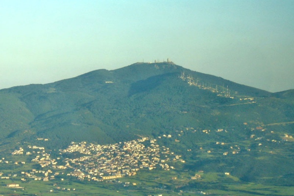
The Chortiatis seen from the Thessaloniki airport.
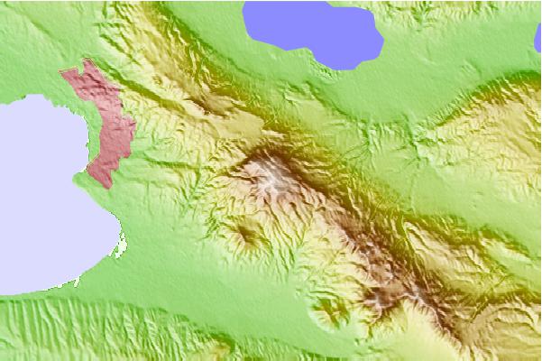
The Chortiatis ( Greek: Χορτιάτης ( m. sg ); ancient name. Kissos, ancient Greek Κίσσος; Hortiatis English transcription ) is a maximum of 1,201 meter high mountain in the Greek region Central Macedonia. Its main ridge extends from northwest to southeast. The northwestern portion reaches with its foothills to the Thermaikos Gulf: on these foothills extending proportionally the places and communities in the metropolitan area of Thessaloniki and the city of Thessaloniki itself The southeastern part goes into the high country of the Chalkidiki peninsula. Is named after the river of the same Anthemous valley on its western flank. This is located directly on the Gulf of Thermaikos Thessaloniki airport. At the height of which is a few kilometers east of the same main peak of Chortiatis with 1,201 m height.
The heights of the Massif Chortiatis are forested. The adjoining the metropolitan area of Thessaloniki forest is called " Seich -Sou ".
After Chortiatis massif a downdraft and the community Pylea - Chortiatis is named that surrounds the massif.
The Chortiatis played a crucial role in the water supply of the city of Thessaloniki, especially in the Byzantine period. In the late Byzantine period (ca. 1300), the monastery Chortaïtes was on the northern slopes of Chortiatis. It supplies the city of Thessaloniki and the region east of it with water by an aqueduct whose remains are preserved in part. In the early 15th century, a basilica from the late 12th century, formed the nucleus for a settlement, the Chortiatis castrum. From the late 14th century collected three cisterns in the area of Vlatades Monastery water from Chortiatis for the supply of the city of Thessaloniki.

,_Thessaloniki_prefecture,_Greece_01.jpg/280px-Chortiatis_mountain_(with_observatory_at_peak),_Thessaloniki_prefecture,_Greece_01.jpg)


