Non-directional beacon
A non-directional beacon (English: Non -Directional Beacon - NDB ) or circular beacon is a transmitter on the ground, which emits continuously in all directions ( non-directional) radio waves. Non-directional radio beacons used as distance or approach lights, as well as to determine the position in the aviation and maritime navigation. The transmission frequency - usually on long wave - is modulated for identification purposes with an identifier.
Antenna system
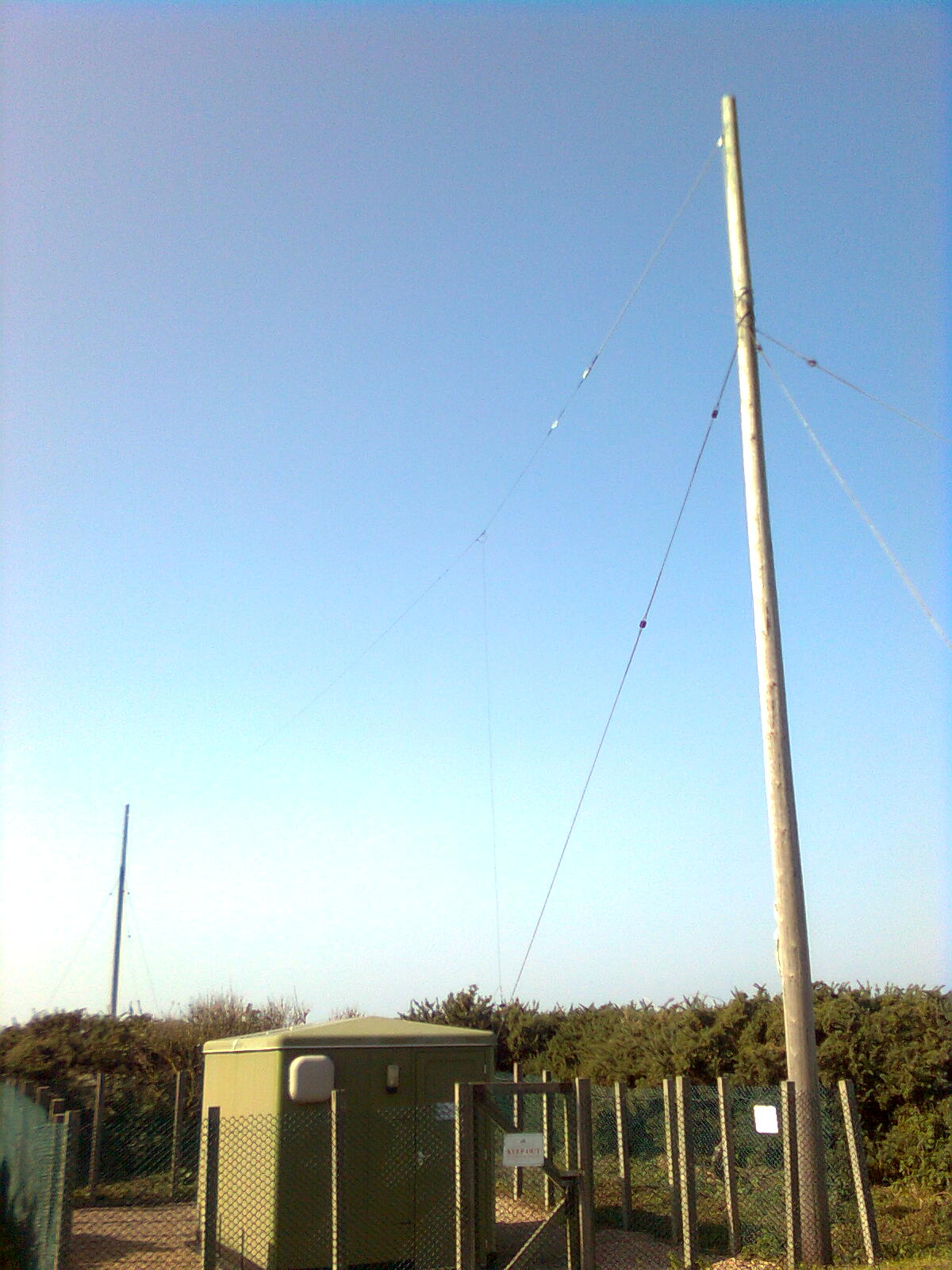
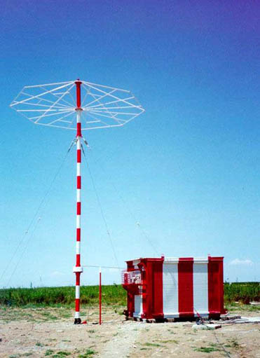
Non-directional radio beacon use, in contrast to radio stations that broadcast also in the long and medium waveband 150-1610 kHz, often very inconspicuous transmitting antennas with heights of about 10 to 15 m or spanned T antennas. Chance but you can also find guyed pole with a height up to 50 m, which are provided with a so-called top capacity for adaptation to the opposite the mast height much greater wavelength.
The non-directional radio beacon broadcast by radio waves can be received from aircraft and ships and in the ADF unit (Automated Direction Finder, Radio compass) are presented. The sender of an undirected beacon is designed as a double system with a monitor. The monitor is a fault indication to the next control station, when the transmission power decreases by more than 50% or the identifier fails. If a station failure of the standby transmitter is switched automatically.
Types
Technical plant
NDB the airport Cologne -Bonn. Amplitude-modulated (AM), ID: LW
The technical equipment for navigation by means of an undirected beacon consists of two devices, on the one hand the Automatic Direction Finder ( ADF) on the plane or on board a ship and on the other hand, the NDB transmitter on the ground.
Non-directional radio beacon work in Germany in the frequency range from 200 to 526.5 kHz, 190 kHz to 1750 world of kHz. The radio waves do not indicate right or miss true north. The distance between the individual frequencies of 1 kHz (according to ICAO Annex 10). Non-directional radio beacons transmit in the transmission type A0/A1 ( a carrier wave is interrupted for the Morse Code identification ) or A0/A2 ( a carrier wave on which the Morse Code identification of 2 or 3 letters is modulated ). The identifier is used to uniquely identify, and is repeated about every 30 seconds.
Range
Non-directional radio beacon have, depending on the purpose, a range of 27 km to 370 km ( 15 to 200 nautical miles ) and a fixed operating distance of 27 km to 185 km. Compared with the non-directional beacon VOR offer the advantage of a much larger range at low altitudes. However, it can come in addition to other disturbances such as thunderstorms, especially in the evenings due to reflections from the ionosphere to overreach and change in the polarization of the signals. The antenna uses vertically and horizontally polarized signals. By reflection on the ionosphere, the signal is also horizontally polarized. The horizontal component, disturbances in the evaluation of the signal shown as the horizontal antenna of an NDB receiver device receives this horizontally polarized interference signals with. Any notices on a NDB navigation display unit will distort. The farther the distance to the NDB, the greater the error, as the NDB bumps relatively better reflected weaker and body waves, which are reflected by the ionosphere, in the evaluation of the signal on the display device.
The signals of the NDBs are primarily received through reliable bump as by space wave. By night-time skywave propagation of long wave reception from much farther away than the nominal range is possible because space waves are bounced off the ionosphere. This allows for radio amateurs ( DXers ) popular NDB DX, which was already used to receive NDBs from overseas.
Purpose
NDBs offer in comparison to more modern facilities (VOR / DME, GPS) an almost rudimentary form of navigation - they mark a target point. In crosswind conditions, it is not easy these to fly in a straight line, because there's always the lead angle must be corrected ( cf. homing ). Even after the introduction of the convenient but expensive VOR navigation in highly developed countries the NDB navigation is necessary. In narrow valleys VORs are unsuitable because of the strong reflection of the FM waves to the mountains, where one is dependent on NDBs such as the Innsbruck airport. In all sparsely populated ( developing) countries NDBs are mandatory for flight navigation. In South Africa or Angola example, there are mainly NDBs and islands such as Tuvalu is not found without NDB.
- Radio position lines (LOP ) and Airways First, NDBs can be used to find radio position lines to individual stations. A radio base line (german radio line of position - LOP) is an imaginary line to a station ( NDB ), which describe the position of an angle, the position of the NDB. In this way (English airways ) can be formed with the help of NDBs and VORs airways. Aircraft to follow in pursuit of its filed flight plan these internationally agreed air routes. Airways are standardized shown on maps.
- Radio location (FIX) The ability to determine radio stations using NDBs, is used for a long time. A radio location indicates the position of an aircraft or ship. A fix arises in that state lines are drawn on the individual navigation points ( NDB ) on the map. If the position lines intersect, creating a angle with the fix as the intersection. This kind of display of a site allows the pilot to determine his position. In situations where other navigation systems such as VOR and DME or GPS fail, can be navigated on.
- NDBs are used at various airfields for non- precision approaches ( NDB / DME ).


