Ocean bank (topography)
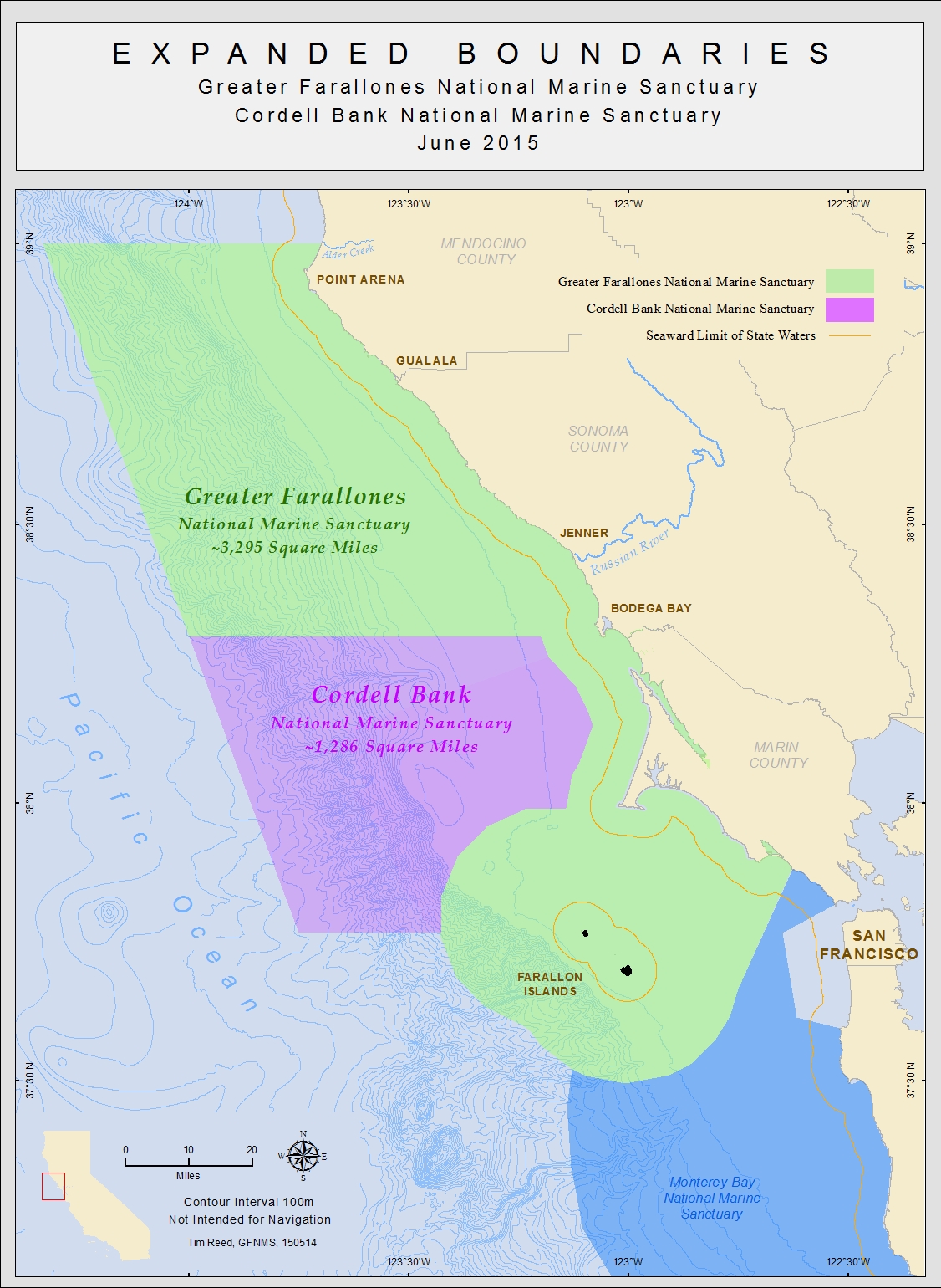
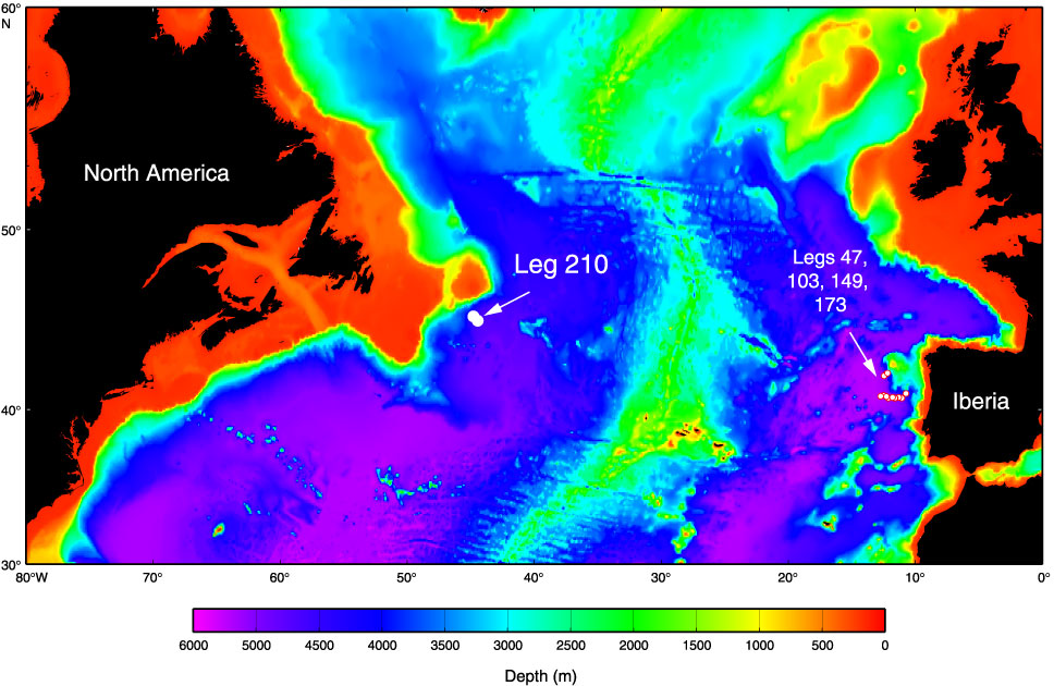
A bank means a sea area that is shallow in comparison to the environment, such as a sand bank or the summit of a submarine mountain. Much like a continental slope of the hillside of a bank can effect a drive that leads to a nutrient-rich flow. For this reason, include some large banks like the Dogger Bank and the Grand Banks of the richest fishing grounds on earth. In the 19th century benches were reported by navigators such as the Wachusett Reef, whose existence is doubtful.
Species
Benches can be of volcanic origin or caused by lime or terrigenous sediment deposition. In tropical areas, some banks are flooded atolls. Since they are related to any land mass, the sediments can not be introduced from the outside. Karbonatbänke are platforms that rise from the deep sea, while it is increased sediment deposits, mostly on the continental shelf in terrigenous benches.
In contrast, seamounts are volcanic mountains that rise from the deep sea and steeper, higher and much smaller than the benches are caused by deposits. They have a round shape and are often isolated from the land mass in the deep sea. An example of this is the Empedocles in the Strait of Sicily. Its highest elevation is about seven to eight meters below the sea surface.
Major banks
The largest banks of the world are:
- Newfoundland ( 280,000 km ², terrigenous Bank)
- Great Bahama Bank ( 95798.12 km ², surface without islands )
- Saya de Malha Bank ( 35,000 km ² without Nordbank, to 7 meters below the surface )
- Mascarene Plateau ( 31,000 km ², including the islands of 266 km ²)
- Georges Bank ( 28.8 thousand km ², terrigenous Bank)
- Lansdowne Bank ( 21,000 km ², west of New Caledonia, to 3.7 meters below the surface )
- Dogger Bank ( 17.6 thousand km ², up to 13 meters below the surface )
- Little Bahama Bank ( 14260.64 km ², surface without islands )
- Great Chagos Bank ( 12,642 km ², including the islands of 4.5 km ²)
- Reed Bank, Spratly Islands ( 8866 km ², up to 9 meters below the surface )
- Caicos Bank, Caicos Islands ( 7680 km ², including the islands of 589.5 km ²)
- Zhongsha Islands ( 6448 km ², up to 9.2 meters below the surface )
- North Bank or Bank Ritchie ( 5800 km ², Saya de Malha north of, to <10 meters below the surface )
- Cay Sal Bank ( 5226.73 km ², including the islands of 14.87 km ²)
- Rosalind Bank ( 4500 km ², up to 7.3 meters below the surface )


