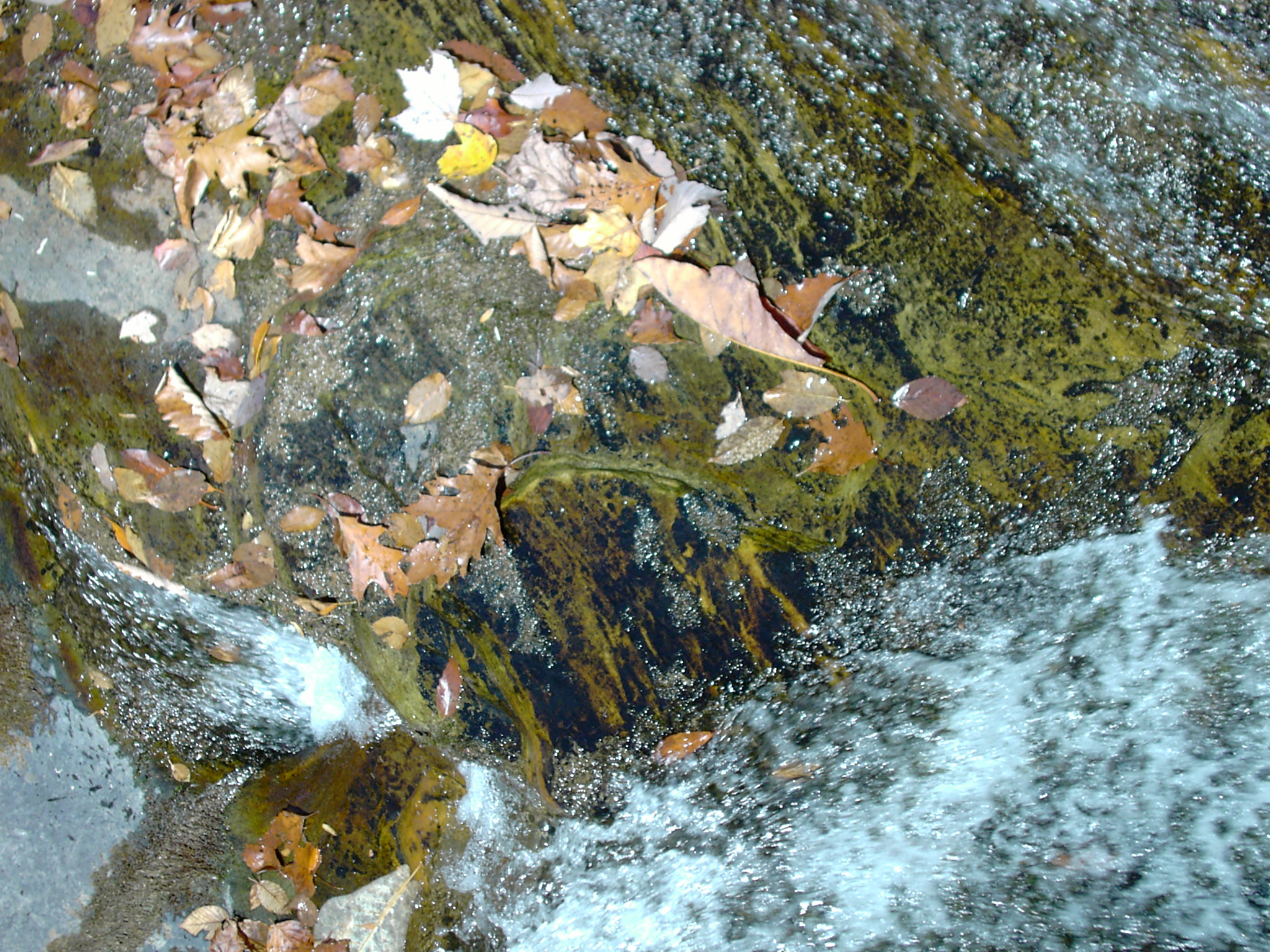
Stream bed
A riverbed or stream bed is a (natural ) depression in the land surface that serves as a flume for a body of water in terms of hydrology.
The dimensions of the bed, so water depth and bed width, are largely dependent not only on the physical properties of the parent material and the sediment transport on the flow rate, which in turn is determined by the gradient. Thus, the erosive and accumulative effect of the river water plays a leading role the river bed and the countryside.
Rivers wear away rock debris and also transport it downstream. When rubble moved hopping in the river bed, it is called saltation. As a result of deep erosion that takes place mainly in the upper reaches of a river, will cut into the landscape depending on the geological and terrain conditions V-shaped valleys, When valleys, box valleys, Sole valleys, trough valleys or canyons. The river bed itself is influenced by the valley shape, but only in ravines and narrow V-shaped valleys fills the waters the entire bottom of the valley. The part of the valley floor, which is marked by the river is called the floodplain. In the equilibrium case, the valley floor is identical to the floodplain in the central European rivers that is not always the case, because many valleys are created in the ice ages ( under very different flow conditions ). Within the floodplain, the river bed in natural conditions can change its course ( at high tide ). In the cultural landscape but most rivers have been artificially set. The shape and form of the riverbed in the floodplain naturally depends primarily on the Talgefälle: In weakly inclined valleys, a meandering river bed forms, in more inclined branched. In valleys with very steep gradients, the river bed is stretched; However, due to the strong vertical erosion, these are mostly gorge-like valley forms.
Decreases the flow rate of a river, its transport force reduces entrained sediments. This regularly occurs when reducing the water flow (after floods ). In the river bed a natural balance between erosion and sedimentation (Depending on the flood dynamics) a, which characterizes the bed shape. In a place worn sediments are rearranged and elsewhere deposited at reduced transport force again, so incurring sand and gravel bars or islands. In the lower reaches of rivers, the transport force due to the reduced gradient drops sharply. This here outweighs the deposit, it can be large amounts (mainly sand and silt ) spread to Schwemmsedimenten over the river valley. Thus, it is possible that the river bed is gradually increased, so that natural dams as a lateral boundary form ( dam shore flow). In contrast to artificial flood embankments the environment is, however, very strongly affected by a dam failure by their low position.
As a result of climate-induced change from deep erosion and accumulation since the Ice Age resulted from ramified river beds in the era staircase-like sequences of river terraces, gravel terraces. Today they form important gravel deposits. Also, due to tectonic uplift phases of orogeny to rivers cut deeper into the valley floors. Back remained higher -lying remnants of the old valley floors. In the Alps, they form in the form of Talschultern striking platforms or rails on which are often located settlements. Some of those levels are referred to as longitudinal rock terraces.
As a valley line connecting all the lowest points of her bed is referred to in the aquatic environment; they can only be determined using known cross sections and is variable depending on the erosion and sediment transport. In boundary waters the valley line can be decisive for the course of the boundary ( eg in the case of the Oder ).
As the river bed are also dried, no longer or not always called water-bearing riverbeds. In Asia and Africa, the dry valleys are called Wadi.


.jpg)


