Tha Tako District
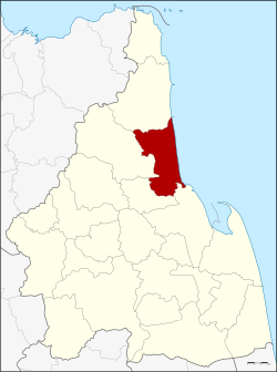
Amphoe Tha Tako ( Thai: ท่าตะโก ) is a district ( Amphoe ) in the eastern part of the province ( Changwat ) Nakhon Sawan. The Nakhon Sawan Province is located in the southern part of the northern region of Thailand.
Geography
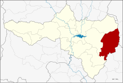
Neighboring districts (from north clockwise): Amphoe Nong Bua which, Phaisali, Tak Fa, Phayuha Khiri, Mueang Nakhon Sawan and Chum Saeng.
Etymology
In the past, the people of Tha Tako went to a known mooring ( Thai: Tha ), there to take a bath or to feed their livestock. " Investors in the Tako- trees ": Since there several Tako- trees (. Diospyros sp) grew, the place Tha Tako was called.
History
The county was established in 1900 in Ban Khao Noi in Tambon Tha Tako. First, it was argued over whether he should now be called Khao Noi or Don Kha Tambon both of the new district. The name Tha Tako was not until 1917 officially defined.
Management
Amphoe Tha Tako is divided into ten municipalities ( tambon) divided in turn into 109 villages ( Muban ) are divided.
Tha Tako ( Thai: เทศบาล ตำบล ท่าตะโก ) itself has a small-town status ( thesaban tambon) and covers parts of the tambon Tha Tako.
In addition, there are ten " Tambon Administrative Organizations" (TAO, องค์การ บริหาร ส่วน ตำบล - administrative organizations) in the district.


