Wat Phleng District
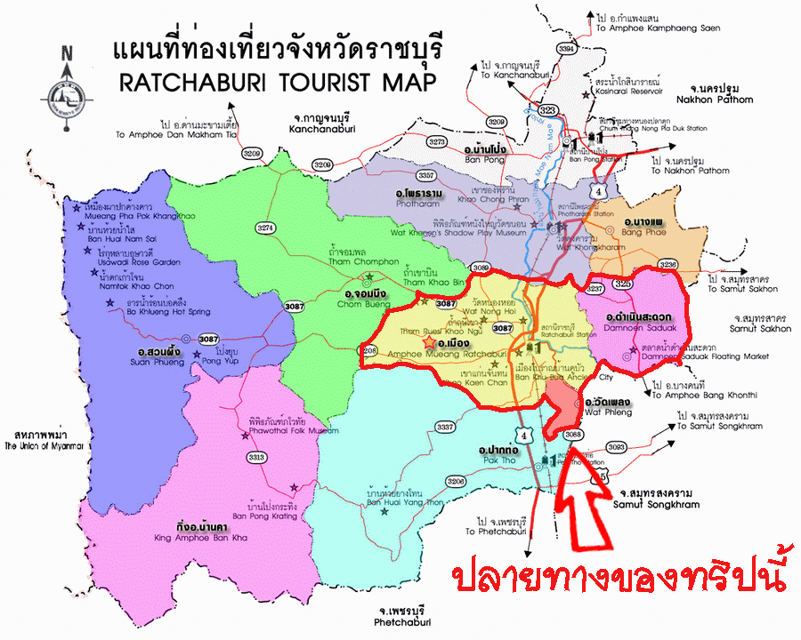
Amphoe Wat Phleng ( Thai: อำเภอ วัดเพลง ) is a district ( Amphoe ) in the province ( Changwat ) Ratchaburi, Central Thailand. It lies in the southeast of the province.
Geography
Neighbouring districts ( from the southwest clockwise): Amphoe Pak Tho, the, Mueang Ratchaburi Ratchaburi Province and Amphoe Bang Khonthi and Amphawa Samut Songkhram Province.
History
In the past, the county " Wat Pradu " was called, as the building of the district administration was before Pradu Monastery ( Wat Pradu ). As the county government was moved to its present location, the district was renamed " Maenam Amphoe Om ". Later, the Verwaltungsbebäude of Maenam Om was moved to the Tambon Pak Tho, as it was on the railway more accessible there. At the same time, the district ( Amphoe ) was converted into a sub-district ( King Amphoe ). It was only on 17 July 1973 he was restored to full Amphoe status.
The most important water resource of the county is the Khwae - Om River ( Maenam Khwae Om ), a tributary of the Mae Klong.
Management
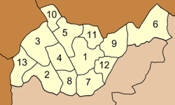
Amphoe Wat Phleng is divided into three communes ( tambon), which in turn in 28 villages ( Muban ) are divided.
Wat Phleng ( Thai: เทศบาล ตำบล วัดเพลง ) itself has a small-town status ( thesaban tambon), it consists of parts of Eat Phleng Tambon Ko San and Phra.
There are also three " Tambon Administrative Organizations" (TAO, องค์การ บริหาร ส่วน ตำบล - administrative organizations) in the district.


