Baltoro Glacier
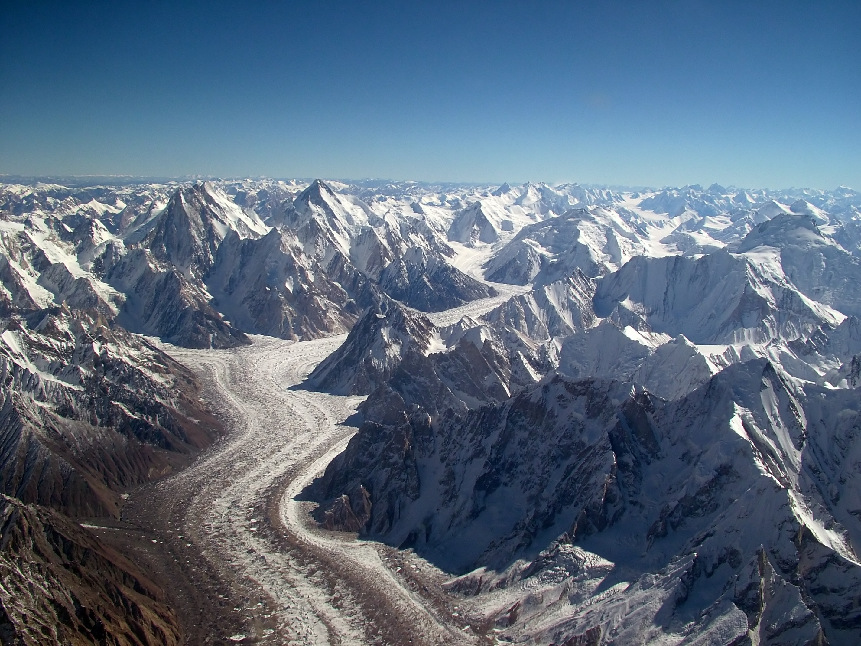
Aerial view of the Baltoro Glacier
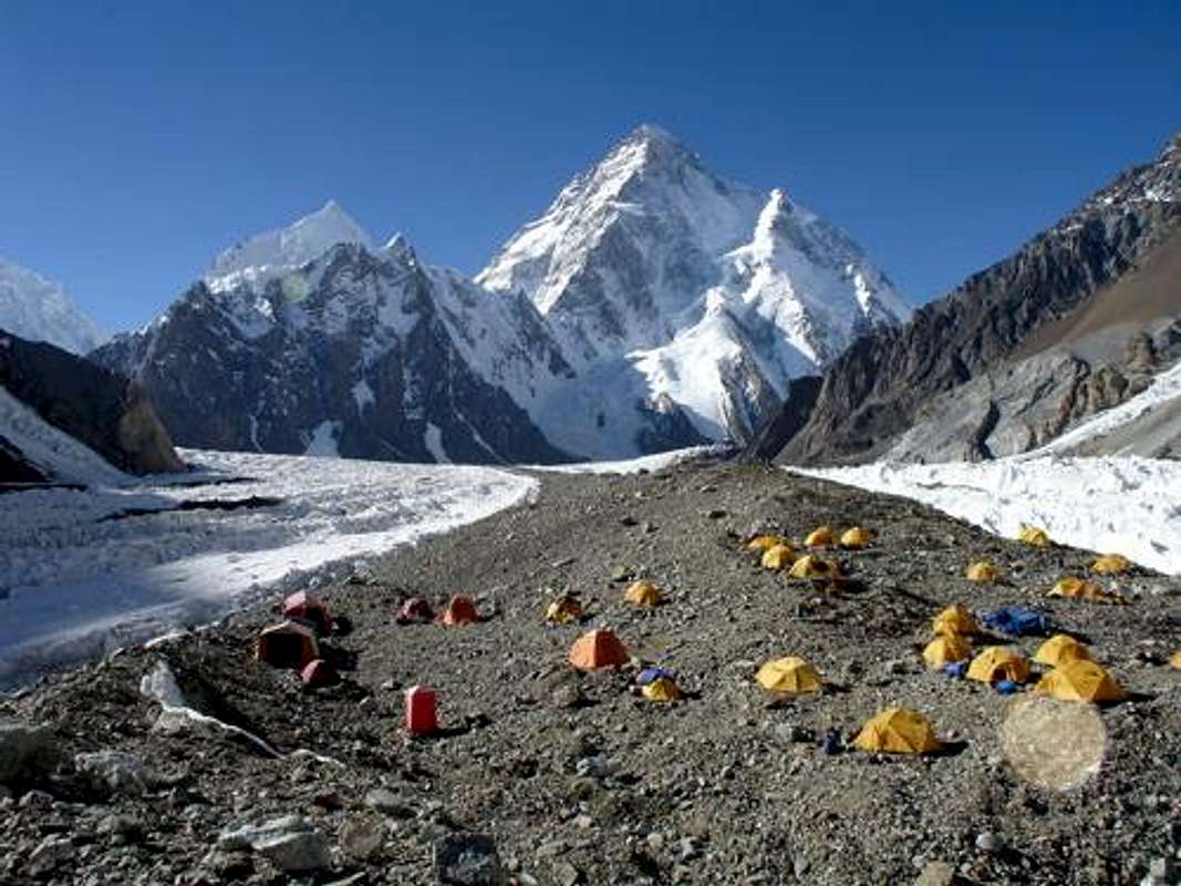
From Urdokas on the south side of the glacier the view goes upstream to Broad Peak (left) and Gasherbrum IV (right)
The Baltoro Glacier is a glacier in the highest part of the eastern Karakoram. It is located in Baltistan, the eastern division of the territory of Gilgit- Baltistan in northern Pakistan. With a length of 62 kilometers and an area of 524 km ², including the tributary glaciers, it is one of the largest valley glacier in the world.
Larger settlements are far away. Despite the difficult accessibility it is perhaps the most visited glacier in the area. This is due to the fact that there are with the K2 and the highest peaks in the Gasherbrum group all four eight-thousanders, the Karakorum in its immediate vicinity. Secondly, the valley of the Baltoro is regarded as the most spectacular mountain valley probably in the world.
European researchers reached the Baltoro Glacier for the first time mid-19th century, probably Adolf Schlagintweit was in August 1856 of first.
Course
The central point of the Baltoro Glacier is the Place de la Concorde, on which the two largest source glaciers unite: The Upper Baltoro Glacier from the south and the Godwin - Austen Glacier from the north come together here and change their direction of flow westwards. The highest point and the beginning of the glacier system, the Conway Saddle ( 6044 m) dar. This upper part of the Baltoro Glacier is also known as Abruzzi Glacier. Shortly before the Concordia Place the Upper Baltoro Glacier flows to the Vigne Glacier, which leads Chogolisa west to Gondogoro pass and an alternate exit from the Baltorotal offers, another important side to the glacier.
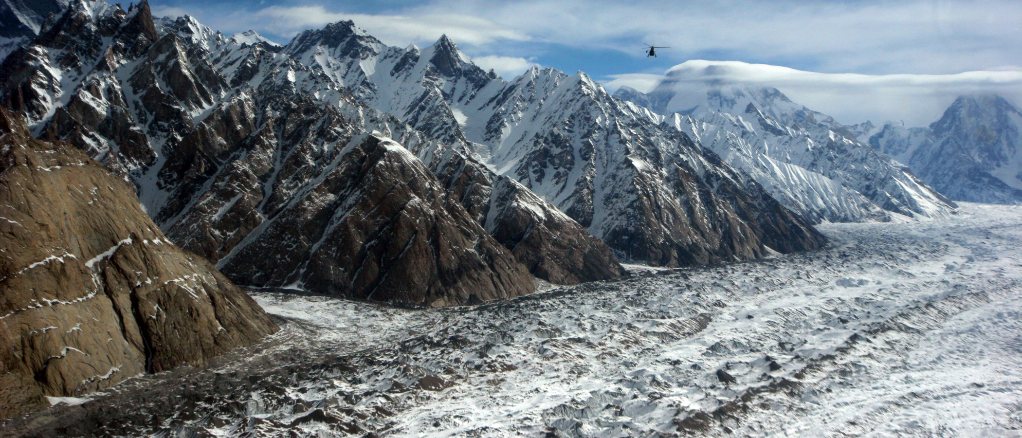
In the course below the Concordia - square of the Baltoro Glacier is nestled between the Baltoro Muztagh in the north and the Masherbrum Mountains in the south, two of the highest mountain ranges of Karakorum. Numerous other major tributary glaciers unite with the Baltoro Glacier: In the north these include Younghusband, Muztagh, Dunge - and Trango Glacier, in the south Biarchedi, Yermanendu and Mundu glaciers are mentioned.
The glacier ends a little above the PAIJU Camp at an altitude of 3400 m. The glacier tongue of Braldu River, a tributary of the Shigars, which in turn flows into the Indus in Skardu.
Glaciology
The longest distance of the glacier system is 62 miles and ranges from an altitude of 6200 m near the Conway Saddle up to 2800 meters below the tongue at the end PAIJU. The average width of the glacier is 2.1 km, the maximum width of 3.1 km is located at Gore camp I just above the confluence of the Yermanendu glacier. With an average gradient of only 3.9 % of the glaciers is compared with others, the Karakorum quite flat. In some areas it is particularly flat, for example, just south of Concordia square, where at a distance of two kilometers of the glacier falls only 21 m. On the other hand, the glacier is transverse to the flow direction is very uneven. In the lower section height fluctuations are in the range of 25 meters, often at a horizontal distance of 140 m.
The end of the glacier has shifted several times in the past hundred years, but no clear trend is discernible, with no security at a level comparable to the extent of alpine glaciers. Measurements in 2004 came to the conclusion that, overall, the glacier terminus has retreated only by 65 meters since 1904. At the glacier tongue is the contribution of the two major source glacier - the Godwin - Austen and the Upper Baltoro Glacier - about 40 %, about 45 % comes from the Trango Glacier, which flows only five kilometers above. Thus, the displacement of the tongue end only partly about the mass balance of the entire glacier says.
Based on various maps and satellite images of the years 1999 to 2001, the total area of the glacier system in which all tributary glaciers were included, which are in contact with the main glacier, determined with 524 km ². However, only having firn flow characteristics were included, so no areas above the Bergschrunds. The equilibrium line, ie the boundary between the accumulation area and the ablation zone of the glacier, located in the territory of the Godwin - Austen glacier over 5300 m, in the region of the Upper Baltoro Glacier even above 5500 m. Thus with 29% among only a small part of the actual glacier accumulation zone for. Avalanches and Windverfrachtungen carry but the firn above the actual glacier significantly to the mass budget at. The total area of such lying above the equilibrium line firn is additional 351 km ², this must be included in the calculation of the mass budget of the glacier to a great extent. The total area of the catchment area of the glacier is 1500 km ², based on the glacier at the end PAIJU.
Since the great glaciers of the Karakorum make a significant contribution, in particular to provide the semi-arid areas of Central Asia with water during dry periods, is of interest as the glaciers respond to climate change. Studies in 2004 have shown that the Baltoro glacier has changed little in the last 100 years, and comparatively little is responding to the climate change. One reason is likely that the glacier is relatively heavily covered with debris. However, the mass balance is surprisingly well above the Concordia square at the Upper Baltoro Glacier, which has hardly any debris cover, almost balanced. This may be explained by the high contribution by avalanches and Windverfrachtungen.
Biale ( 6729 m) and Biale Glacier.
Urdokas peaks of Baltoro from.
The storage place Urdokas on the south side of the Baltoros.
The Baltoro (rear) feeds the Braldu


