Black River (Ohio)
Black River in the mouth area on Lake Erie in Lorain
The Black River (also Canesadooharie River or Riviere en Grys ) is a 24.5 km long tributary of Lake Erie on the south bank in the northern U.S. state of Ohio.
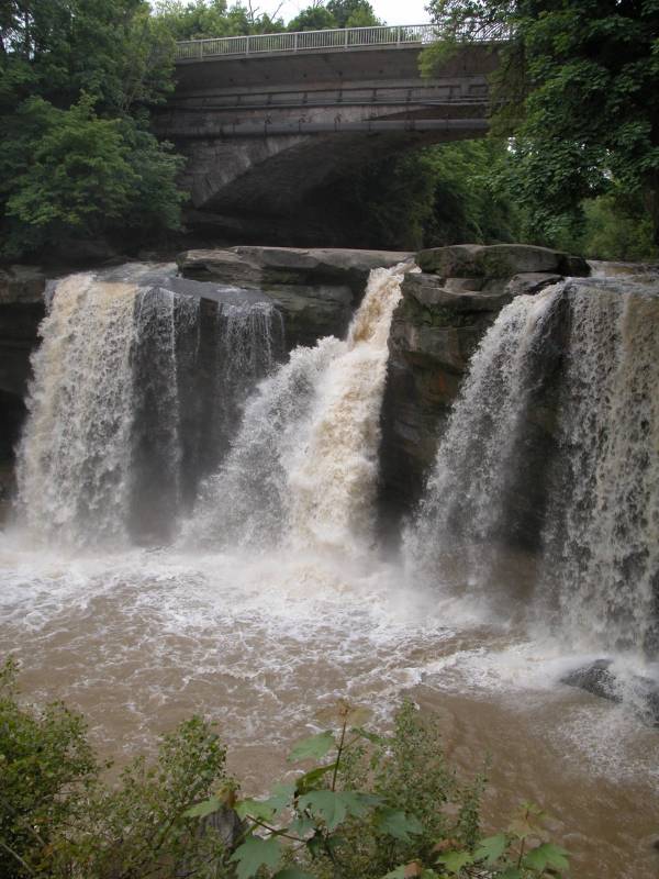
The Black River drains along with its headwaters 1206 km ² predominantly agricultural land, which is located in the basin of Lake Erie. It is formed by the confluence of the West Branch Black River and East Branch Black River in the town of Elyria in Lorain County, then flows further to the north and flows into the city of Lorain in Lake Erie.
The 48 km long West Branch Black River originates 5 km north of the town in northern Nova Ashland ( 41 ° 3 ' 3 " N, 82 ° 17' 58 " W41.0508879 - 82.299329 ) at an altitude of 337 m and drains an area of approximately 450 km ².
The East Branch Black River is formed about 5 km northwest of the town of Lodi in northern Ashland County by the confluence of the headwaters of East Fork Black River and West Fork East Branch Black River (41 ° 3 ' 1 "N, 82 ° 2' 6" W41. 0503332-82.0348696 ) at an altitude of 263 m. It drains with its headwaters an area of 575 km ².


