Firth of Forth
56.01 - 3.17Koordinaten: 56 ° 0 ' 36 "N, 3 ° 10' 12 " W
The Firth of Forth ( gäl.: Abhainn Dhubh ) is an estuary on the east coast of Scotland, while the mouth of the River Forth in the North Sea. The trough of the Firth of Forth was preformed in the last British ice age phase by the wandering down from the highlands Forth Glacier. Therefore, the Firth of Forth is geologically a fjord.
To the north is the county of Fife, in the south lie the counties of East Lothian and West Lothian and the City of Edinburgh. The tides are noticeable as far up as Stirling.
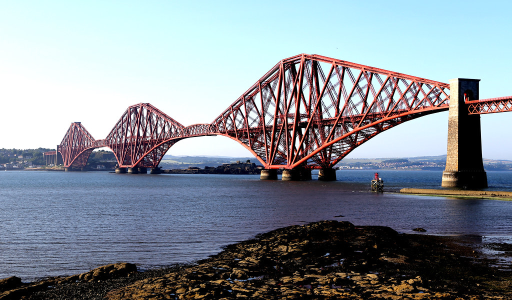
On both banks there are numerous cities, petrochemical works of Grangemouth, the Port of Leith, the oil rig work of Methil, the Schiffabwrackanlage of Inverkeithing and Rosyth naval dockyard. Other industrial facilities are located in the Forth Bridgehead, in Burntisland, Kirkcaldy, Bo'ness and Leven. About the Firth of Forth lead the Kincardine Bridge, the Forth Road Bridge and the Forth Bridge.
1850 was crossed by the first railway ferry in the world of the Firth of Forth; the ship was called Leviathan and had 417 gross register tons.
In the inner part of the Firth, ie in the area between Kincardine and the Forth Bridge, the estuary was filled about halfway through land reclamation, partly for agricultural, but mainly for industrial purposes and as a dump site for the coal slag of Longannet power station.
Despite the heavy industrial use of Firth 's important for nature conservation. In the Firth of Forth Special Protection Area (special reserve) each year hold on more than 90,000 breeding seabirds. On the Isle of May, there is a bird observatory.
Islands in the Firth of Forth
- Bass Rock
- Craigleith
- Cramond
- Eyebroughy
- Fidra
- Inchcolm
- Inchgarvie
- Inchkeith
- Inchmickery
- Isle of May
- The Lamb
Towns and villages on the Firth of Forth
North Shore
- Aberdour
- Anstruther
- Buckhaven
- Burntisland
- Cellardyke
- Crail
- Dalgety Bay
- Dysart
- Earlsferry
- East Wemyss
- Elie
- Inverkeithing
- Kincardine
- Kinghorn
- Kirkcaldy
- Leven
- Lower Largo
- Methil
- North Queensferry
- Pittenweem
- Rosyth
- St Monans
South shore
- Aberlady
- Blackness
- Bo'ness
- Cockenzie
- Cramond
- Dunbar
- Edinburgh
- Grangemouth
- Gullane
- Leith
- Musselburgh
- North Berwick
- Port Edgar
- Portobello
- Port Seton
- Prestonpans
- South Queensferry


