Gulf of Tadjoura
Satellite image of the Gulf
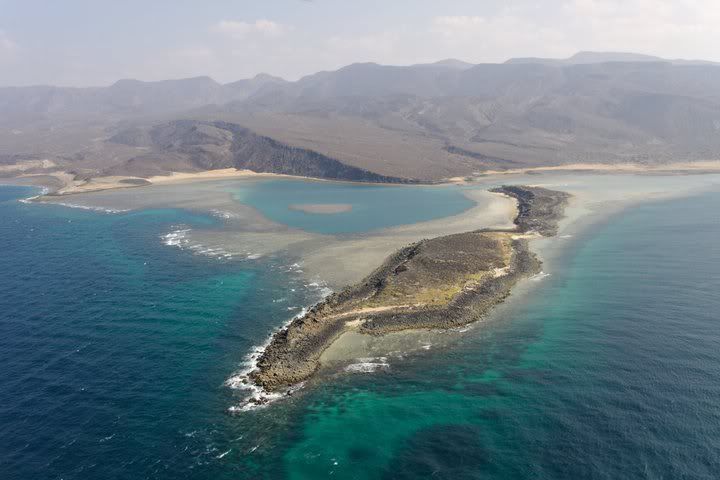
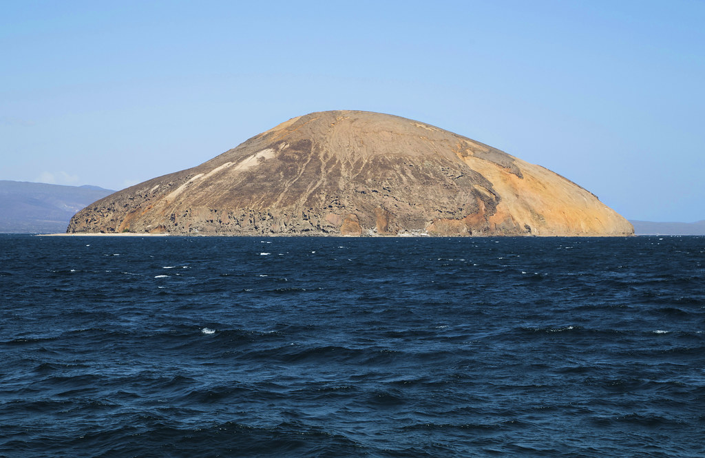
The Gulf of Tadjoura (Arabic خليج تدجورا Chalīdsch Taddschūrā, DMG Ḫalīǧ Tadǧūrā ) is a gulf of the Indian Ocean off the Horn of Africa. Located just south of Bab al - Mandeb, which forms the entrance to the Red Sea. It is 58 km long and at the entrance up to 24 km wide. Main riparian State is Djibouti, the south of the Gulf also borders almost to the coast of Somalia and Somaliland. In the west of the Gulf is located by the bay Ghoubet al Kharab with the volcanic islands devil. The Ghoubet Street is only 850 meters wide at its narrowest point, including the nearby island in the Straits Abou Maya.
The Gulf of Todjoura is located directly on the Afar lowlands, the partial far down descends below the level of the sea.
One of the ports on the Gulf of Tadjoura include Obock, Tadjoura and Djibouti.
At the entrance of the gulf lie the Musha Islands.
- Bay in Africa
- Bay (Indian Ocean)
- Geography (Djibouti)
- Geography (Somalia)


