Papowo Biskupie
Papowo Biskupie ( German Episcopal Papau, 1942-1945 Kulmischpfaffendorf ) is a village in the powiat Chełmiński in the Kujawsko - Pomerania, Poland. Papowo Biskupie is also seat of the rural commune ( gmina wiejska ).
- 5.1 Literature
- 5.2 External links
- 5.3 footnotes
Geography
Papowo Biskupie located 26 kilometers north of Toruń on the eastern shore of the Jezioro Papowskie.
History
The first mention of the village took place on August 5, 1222 as Papouo. Subsequent designations were also Papowe ( 1284), Popov ( 1326), Papav and Papaya ( 1327 ) and Pfaff village ( 1554 ). In 1647 there was a school with a teacher.
From 1975 to 1998, the village belonged to the Voivodeship Toruń.
Community
Geography
The municipality has a surface area of 70.44 km ². 91 % of its territory is used for agriculture, 1% is covered by forest.
Sołectwo
For country Papowo Biskupie include a total of 14 villages ( German name until 1945), of which the following 8 Soltysships are:
- Dubielno ( anchors )
- Firluz ( Firlus )
- Folgowo - Staw ( Folgowo )
- Jeleniec ( Gelens )
- Niemczyk ( Niemczyk )
- Papowo Biskupie ( Episcopal Papau, 1942-1945 Kulmischpfaffendorf )
- Zegartowice ( Segartowitz )
- Żygląd (Show country)
The villages Falęcin ( Dietrichsdorf ) Kucborek, Nowy Dwór Krolewski (Royal Neuhof ), Storlus ( Storlus ) and Wrocławki ( Wrotzlawken ) are affiliated Schulz offices.
Attractions
- There are in Papowo Biskupie a palace of 1773.
- The Gothic church was renovated in 2005 ( Bell Tower ), 2007 ( electronics) and 2008-2009 (organ).
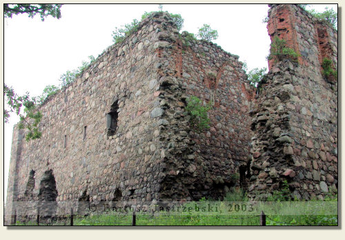
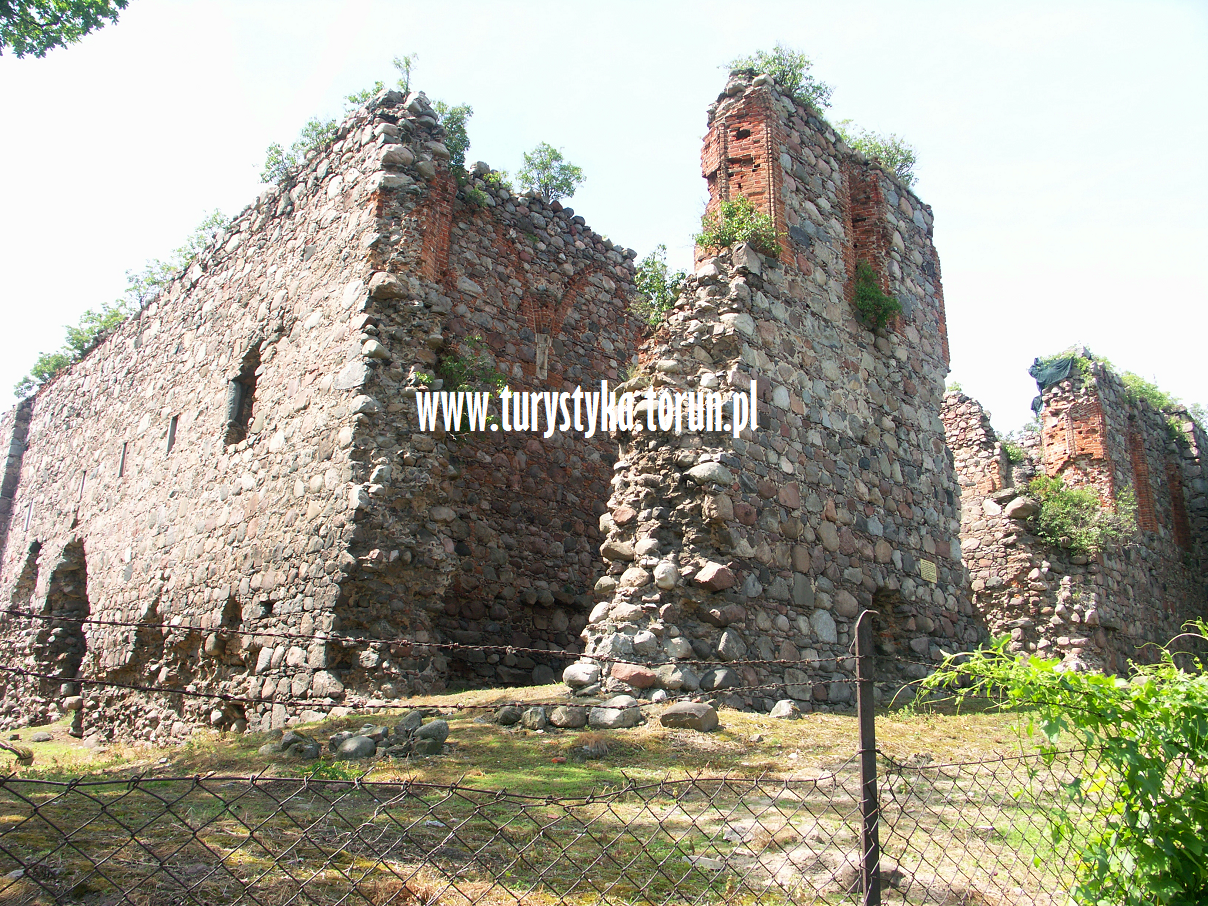
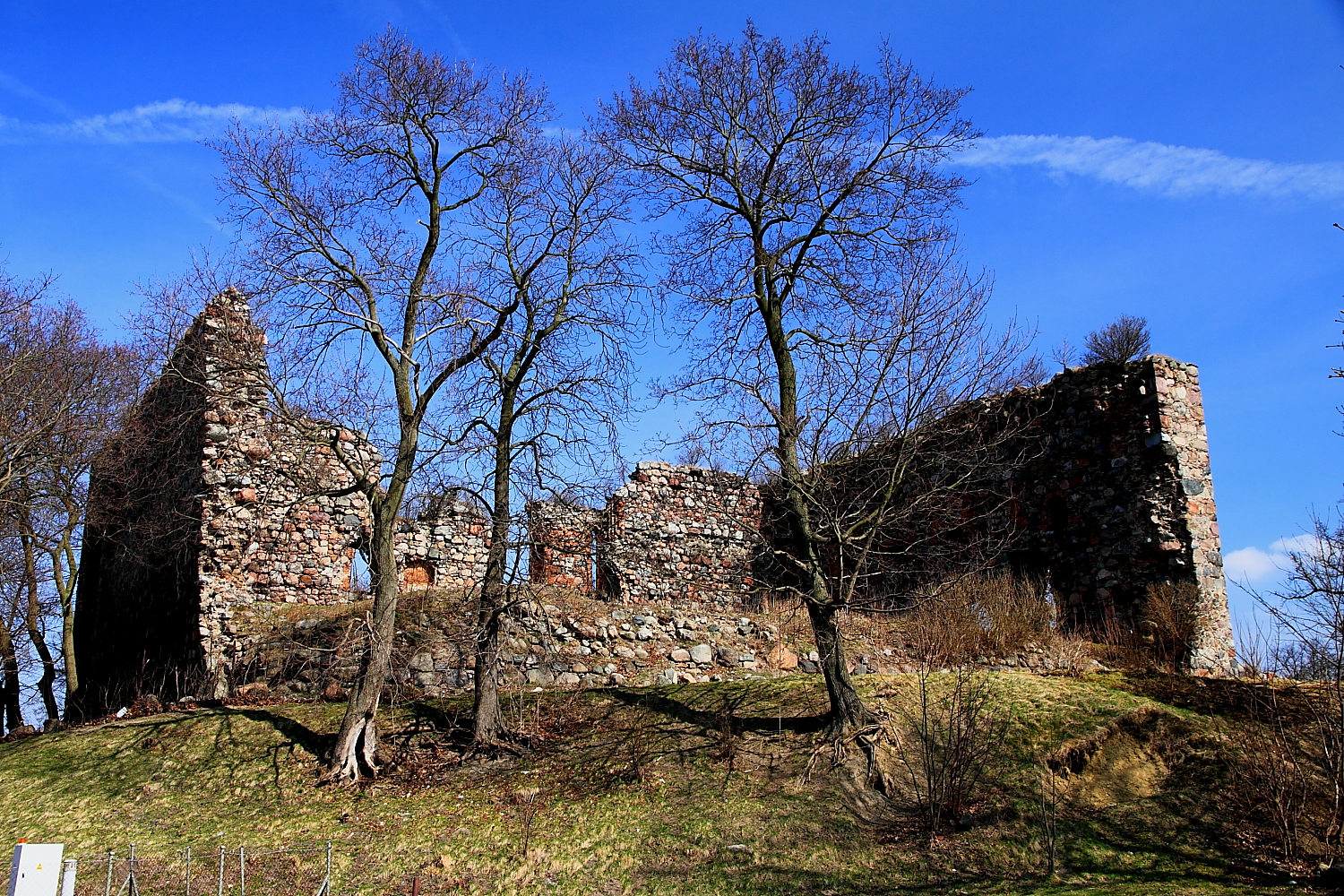
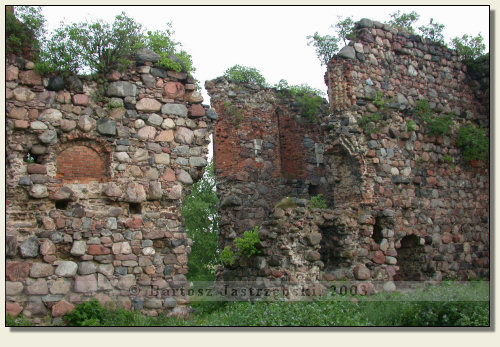
- Ruins of the castle Episcopal Papau


.jpg/250px-Papowo_Biskupie-ruiny_zamku(js).jpg)


